
Antarctica
December 19, 2021 to January 6, 2022
Mike and Judy Henderson
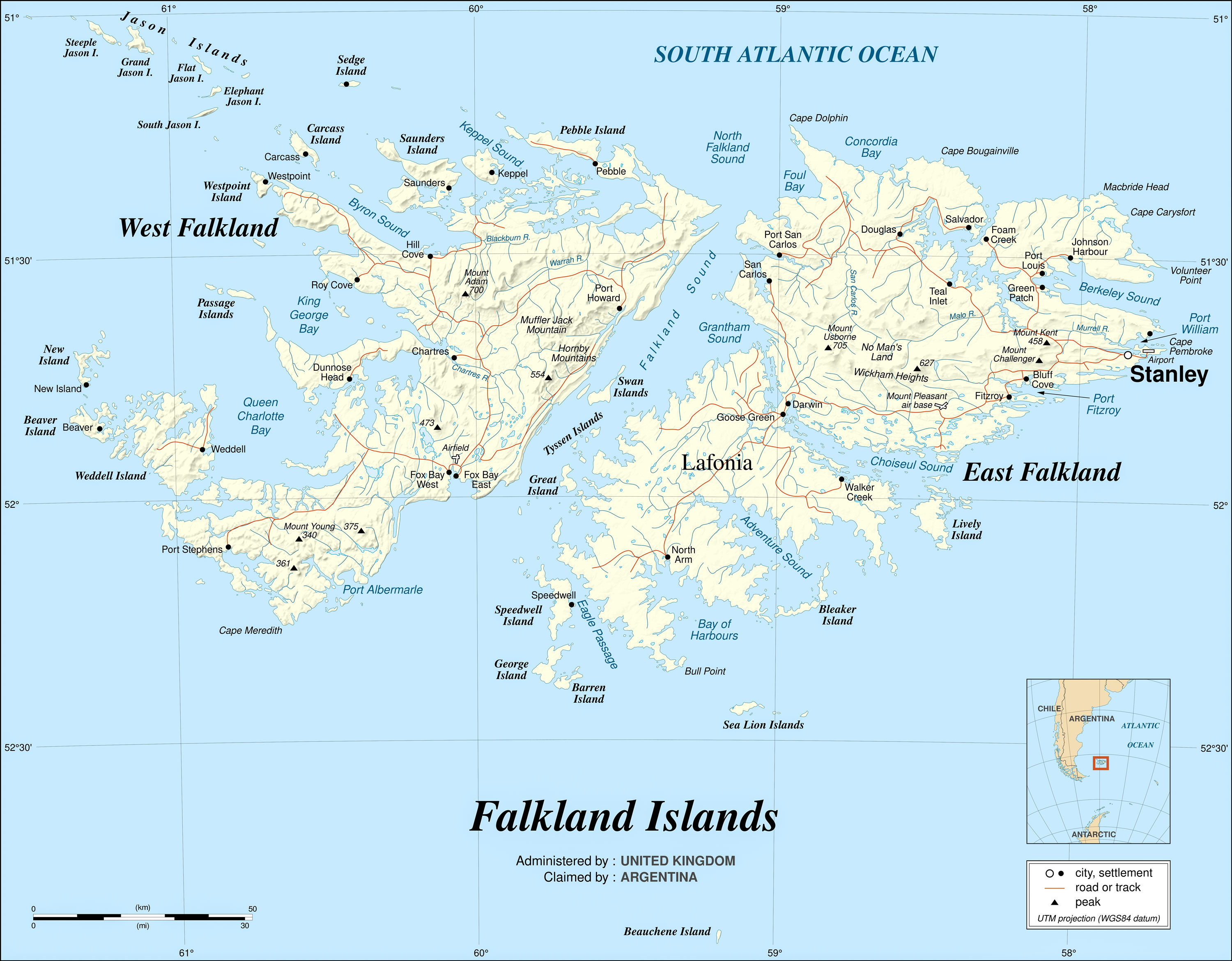
I'm going to leave this map at the front of the web page so you can visualize where we are.

++++++++++++++++++++++++++++++++++++++++++++++++++
1/2/2022 (Sunday) We arrive at Bleaker Island of the Falkland Islands today. Location at 6am, 52˚16.5'S, 58˚43.5'W, 10˚C, sea is slightly choppy, bright sunny day.
The Falkland Islands are primarily known because of the war between Argentina and the UK in 1982. On April 2, 1982, Argentina invaded and occupied the Falkland Islands. Argentina claimed the Falkland Islands, which they called the Islas Malvinas, based on an 1816 claim to the islands by Argentina. However, Britain had maintained a colony on the island since 1833, almost 150 years, when the war started in 1982. If you want to learn more about the various claims to the Falklands, see here and here.
Here's the best map I found of the Falkland Islands. I scaled it down for this page but if you download it you will get a larger version. An even larger version of the map can be found on Wikipedia, but it's in svg format. The Falkland Islands are not of volcanic origin. If you're interested in the geology, see here.
Prior to 1982, the UK was open to giving up the islands because they were so far away, they had no economic value, and there were not many people on them - less than 2,000 on all of the Falklands in 1982. One proposal was a recognition of Argentine sovereignty, but with a 99-year-lease to Britain, as was done with Hong Kong. But the islanders were very opposed to Argentine sovereignty, so the issue was never resolved.
In Argentina, the Peron government had been replaced by a military dictatorship in 1974, which by 1981 was failing. The leader, Leopoldo Galtieri, decided that an invasion of the Falklands would unite the country and rally the citizens to his leadership. The ruling junta had instigated the Dirty War (1976-1983) and the people were rebelling because of it.
The Argentine leadership believed that the UK would not fight to recover the islands, but they were wrong. The UK put together a naval task force and sailed to the islands. There was a major difference between the two militaries. The UK had modern, well-trained and well-equipped forces. While some of the Argentine forces were well trained, especially the navy and air force, much of the army consisted of short time conscripts, the majority of whom were not well trained, and the Argentine forces had very few modern aircraft, ships or weapons.
But it was not a cake walk for the Brits. The Falkland Islands were 8,000 miles from the UK, so the logistics were daunting. Additionally, the UK did not have an AWACs (Airborne Warning And Control) capability, which allowed Argentine aircraft to successfully attack a number of the British ships - six were sunk and many more damaged. Argentina lost the light cruiser General Belgrano to a submarine attack on May 2nd, and after that, the Argentine navy did not participate in the war.
British forces landed on the islands on May 21, 1982 at San Carlos Water, across East Falkland Island from Stanley.

After capturing Goose Green in a hard fought battle, they crossed the island, fought difficult battles in the approach to Stanley, especially Mount Longdon, Two Sisters, Mount Harriet and Tumbledown Mountain, and captured Stanley on June 14, 1982, with the surrender of the Argentine forces.
Since the war, Argentina has continued to press their claim to the Falklands, but the UK has refused to even discuss the sovereignty issue, for obvious reasons - 255 of their service members and three British civilians were killed retaking the islands. The UK will never give up the Falklands now.
In 1982 there were about 1,847 people on all of the Falkland Islands. Today, the population estimate is 3,480, with about 70% in Stanley. To a large extent, Stanley is the Falkland Islands.
There are many books about the war. If you're interested in learning more, a good, easy-reading one is "The Falklands War" by Martin Middlebrook.
A piece of trivia - the latitude of the middle of the UK is about 55˚ N, while the latitude of the Falklands is about 51.8˚ S. So the Falklands are closer to the equator than the UK! The Falklands are about as far from the equator as London.
But enough introduction. Unfortunately, our visit to Stanley was cancelled, which was a great disappointment to me.
+++++++++++++++++++++++++++++++++++++
We arrived at Bleaker Island this morning, at the location labeled "Sandy Bay" on the map. We walked south toward Long Gulch, to visit the Rockhopper colony. Here's another description of Bleaker Island. And Bleaker Island has its own web site.
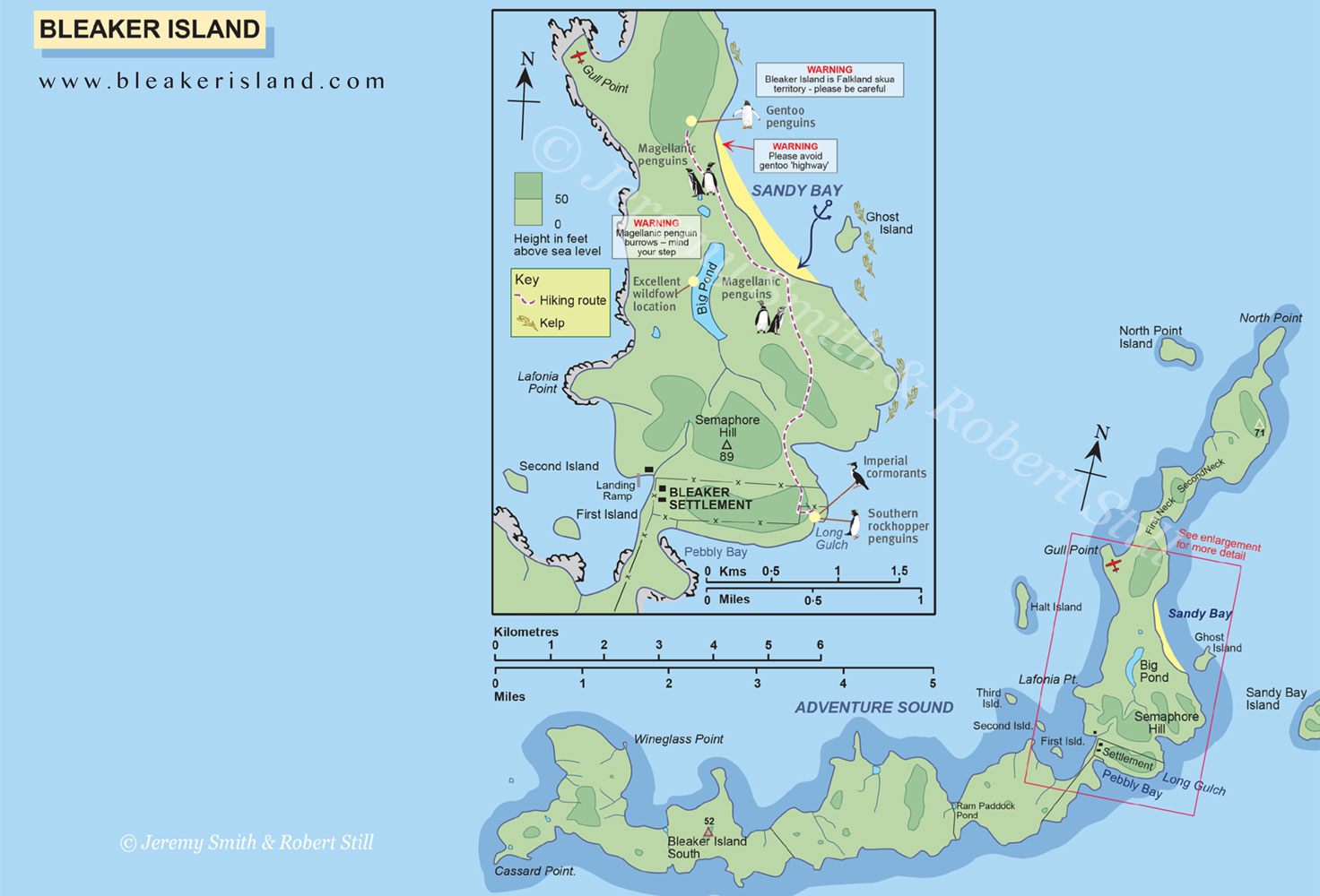
There are two colonies of penguins here, one of Rockhoppers and one of Magellanics. Judy and I took the Zodiac to shore. A strong wind was blowing - the expedition leader said gusts to 50mph - which made the zodiac ride wet and very bouncy. Not a comfortable ride. It was a wet landing so we had our boots on. They're a bit heavy, so you tire quickly when walking.
The land here is fairly flat, and used for grazing cattle. I think they called it "Bleaker" because it was more than just "Bleak". Sort of reminds you of South Dakota on a cold, windy day.
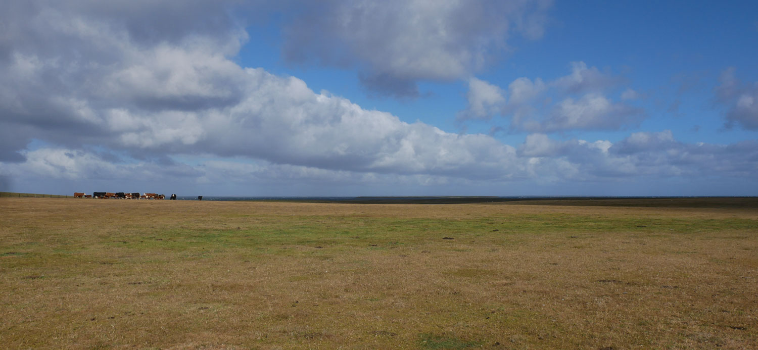
We arrived at the colony of Rockhoppers, which was the farthest point of our walk, about 2km. On the way, we crossed a fence by this step device. I've also seen these in the US.

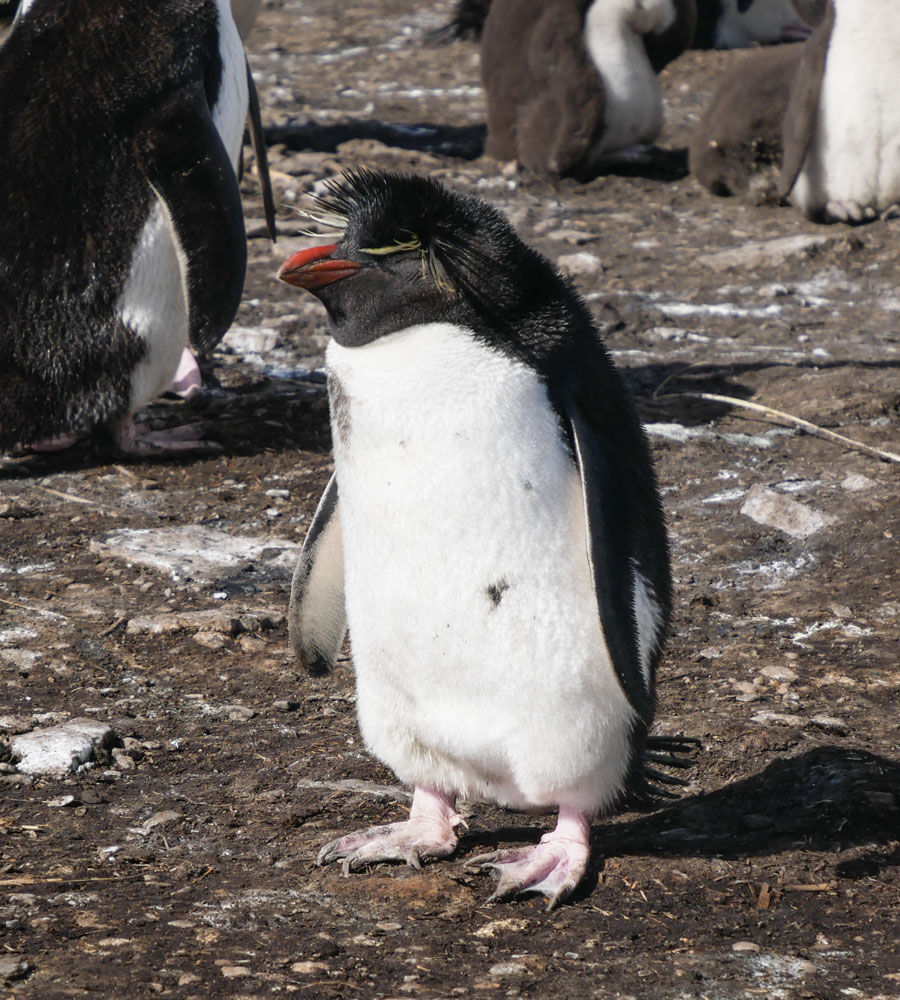
We made it to the Rockhopper colony. This was about half the total colony. Rockhoppers are smaller than many other subspecies of penguins, but they make up for it by being cute.
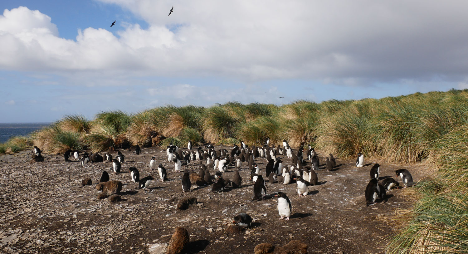
Here's a close up of one of the Rockhoppers.
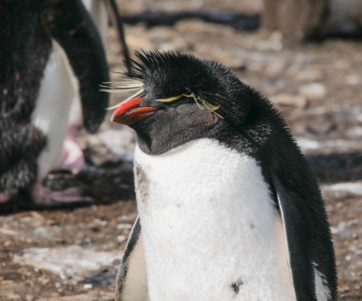
And a close up of the head of one, which shows the hair tufts on the head. This one seems to be sleeping.

Another Rockhopper close up.
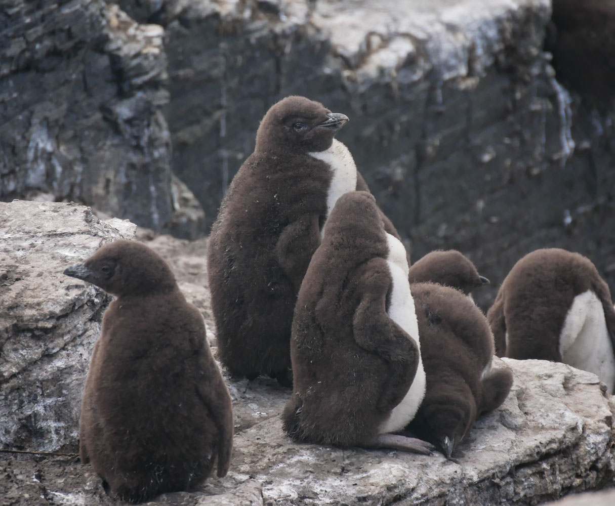
A young Rockhopper which still has its baby feathers. I think it's less than a year old.
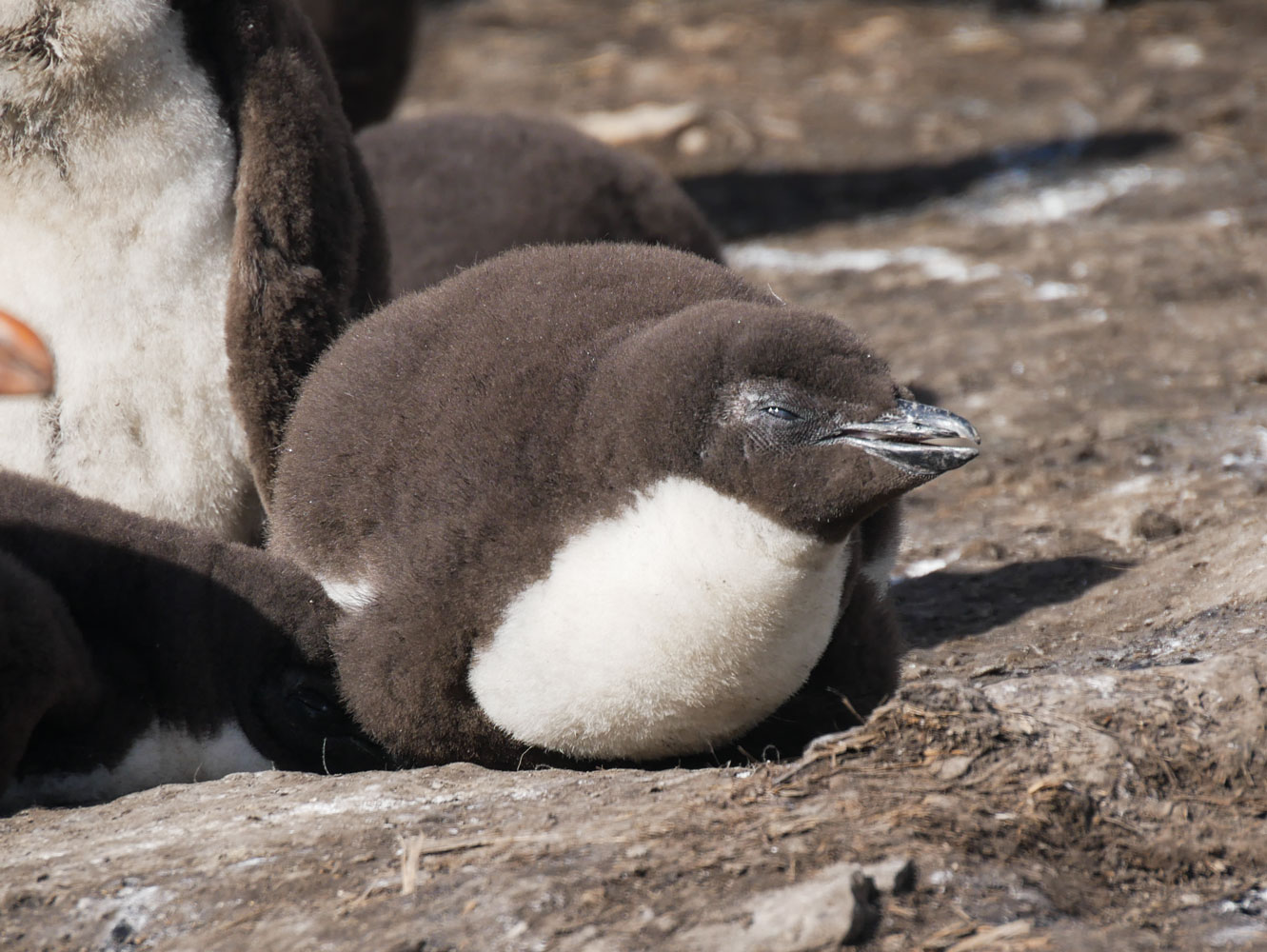
This colony has quite a few young. You can identify the young by their brown coats.

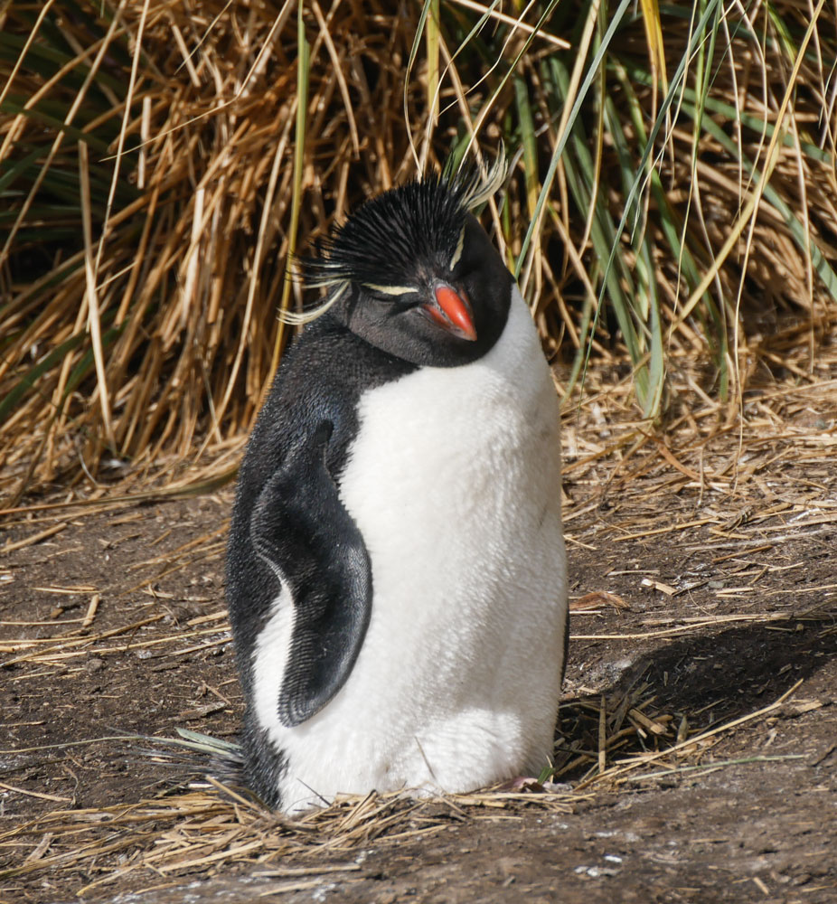
Another close up of an adult Rockhopper.
And some more young Rockhoppers. Their baby feathers look like fur.
This is a Magellanic penguin that was hanging out with the Rockhoppers. Note the different markings between the two groups. No head hair tufts, for one thing, a white "bonnet" around its face, and a grey stripe around the chest.

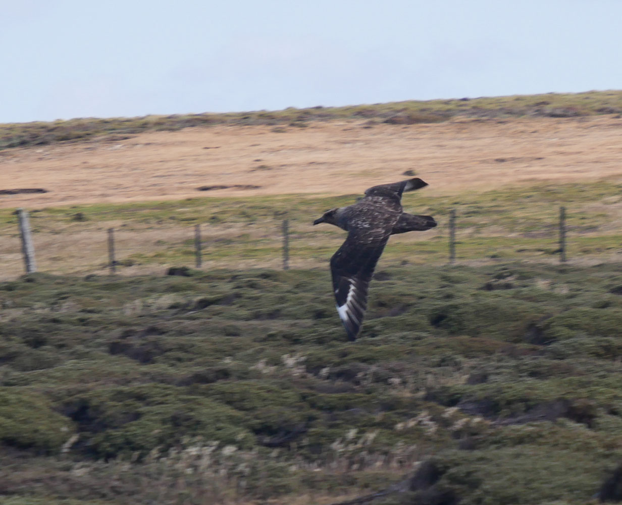
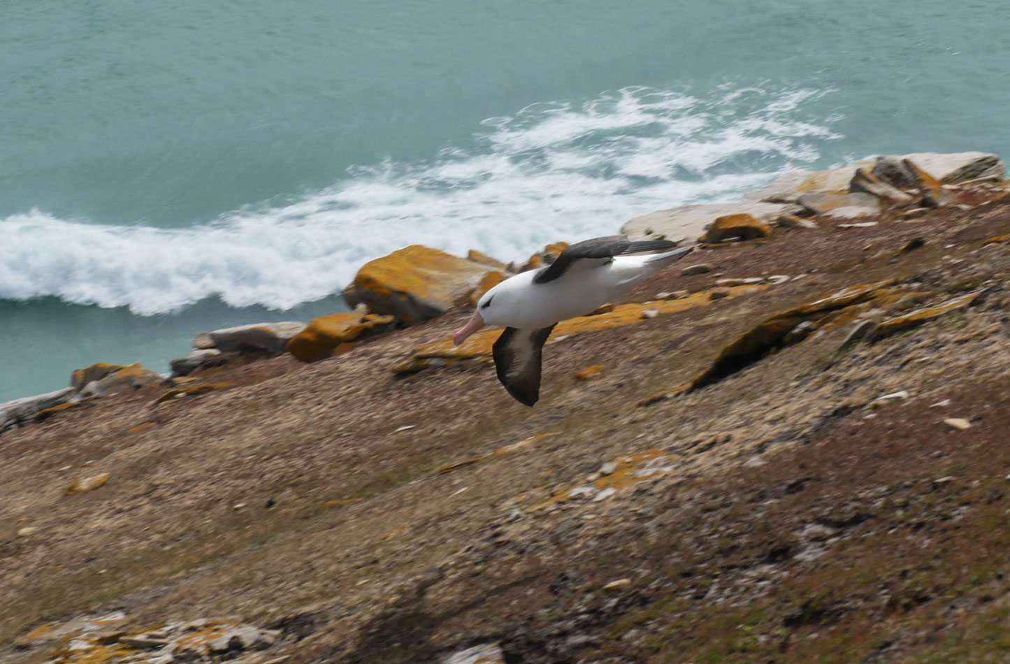
As we were returning to the beach, this bird was swooping low, close to us. I don't know what kind of bird it was.
Magellanic penguins burrow into the ground for their nests. Here's a mature Magellanic penguin and a chick. The chick has started to shed its baby feathers (see the black patch on the back of the chick). You can see a bit of their burrow on the right of the picture.

Judy on the island, shortly before we returned to the ship. It was really blowing.

Our zodiac trip back was not as bad as the outbound trip, but just as we arrived at the ship we hit a wave twice and took a lot of spray into the zodiac. I was glad I had my camera in a plastic bag.
We got back to the ship fairly early and attended a lecture at 11am on rope knot-making. It was interesting, but I wouldn't be able to make any of those knots without a lot of practice.
In the afternoon we were scheduled for an excursion to Bull Point, but the seas were too high and it was cancelled. Here's another description of Bull point. Bull Point is the most southern point of East Falklands. You can see its location on the large map of the Falklands, above. It is not an island, but is part of Lafonia. Lafonia is named for Samuel Fisher Lafone, who obtained a government grant to the land in 1845.
As a consolation prize, we attended a lecture on Human Adaptation to Cold. Interesting lecture. The lecturer pointed out that it's impossible to meet your hydration needs by eating snow - the body cannot generate enough heat to melt that much snow. You must have fuel to melt enough snow.
There were a lot of birds flying around the ship and we tried to catch a few photos of them. But we were shooting into the sunset so all we could get was their silhouette. I don't know what kind of bird it is, but I can see that it has webbed feet.

After dinner we went to bed. That was the end of our day.
+++++++++++++++++++++++++++++++++++++++++++++++++
1/3/2022 (Monday) We're heading to Saunders Island of the Falklands today. Location at 6am, 51˚14.5'S, 60˚12'W. 7˚C. Very strong wind this morning - probably too windy to leave the ship. Sky is clear, bright and sunny. Here's another description of Saunders Island.
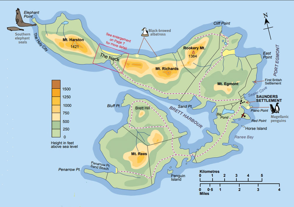
The wind died down a good bit as the day advanced, and we're going to take the excursion this morning. The island has a narrow "neck" and that's where we're going to land, on the south side of The Neck.
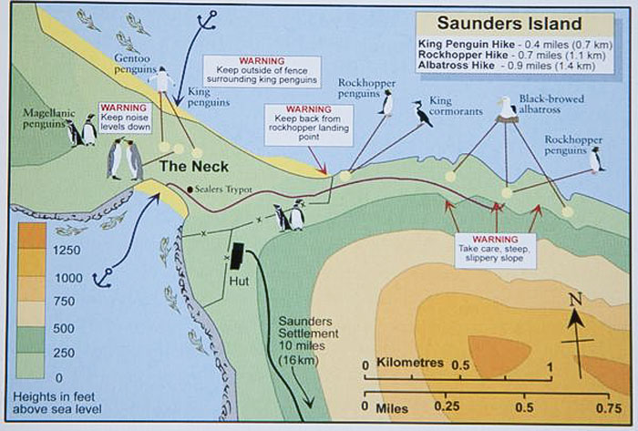
The ride out in the zodiac was bumpy but not wet, and as we landed, we could step from the zodiac to some rocks and not get our feet wet - but we were wearing our boots just in case.
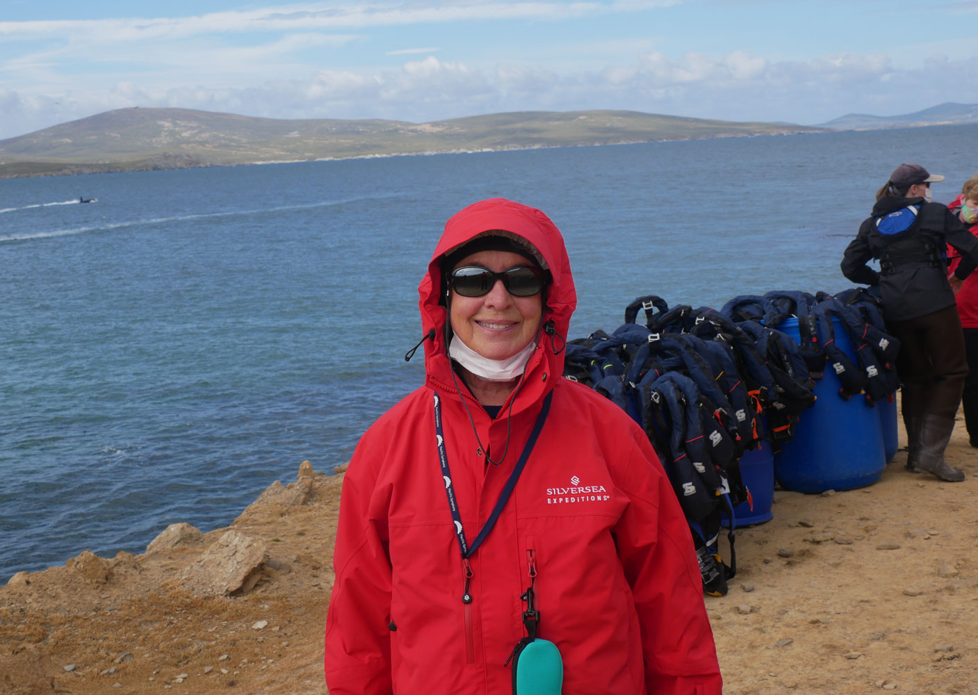
Here's Judy shortly after we landed. We dumped our life preservers in the blue barrels.
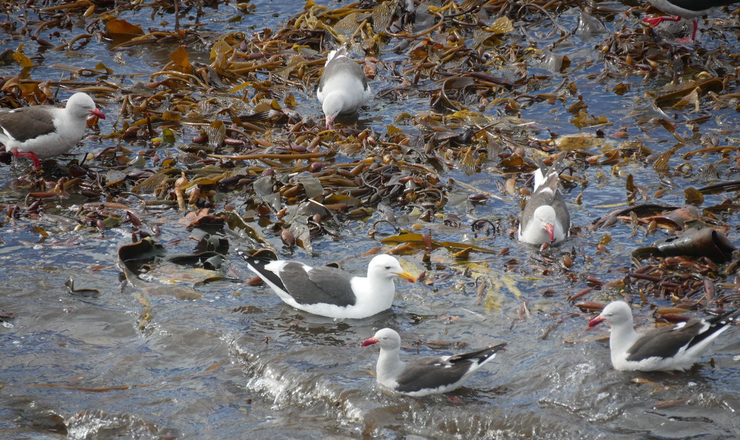
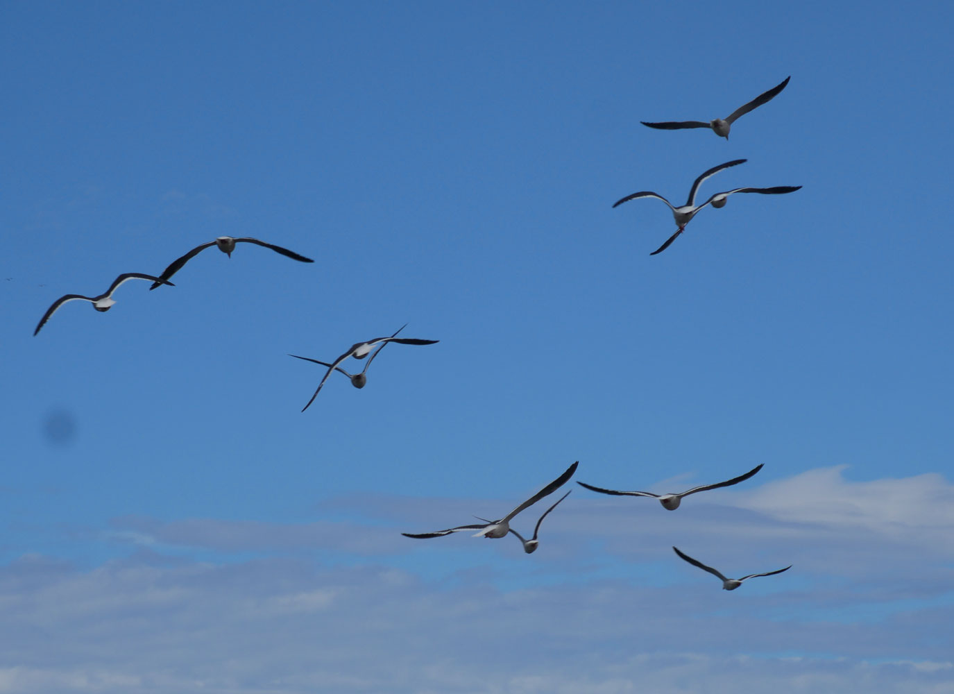
There were some sea gulls, both in the water and flying around the shore. It's important that sea gulls live in and around the sea. If they lived in a bay, they'd be called bay gulls. (Thanks to our tour guide for the joke.) A side note: Falklanders are nicknamed "Kelpers", and you can see some of that kelp.
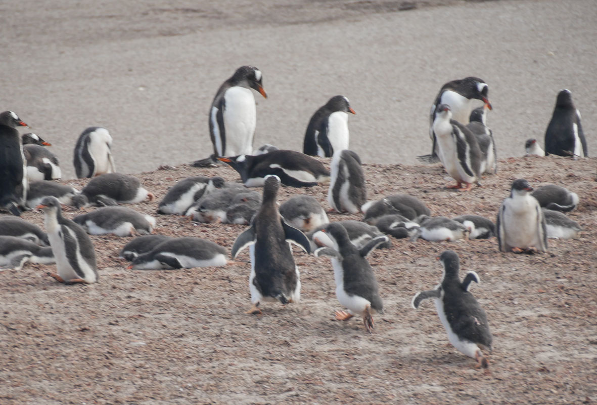
The Neck area had penguins all over. It's difficult to describe, or show in a picture, how many there were. They were in groups all over the neck of the islands. I don't know how many groups, but it was a lot.
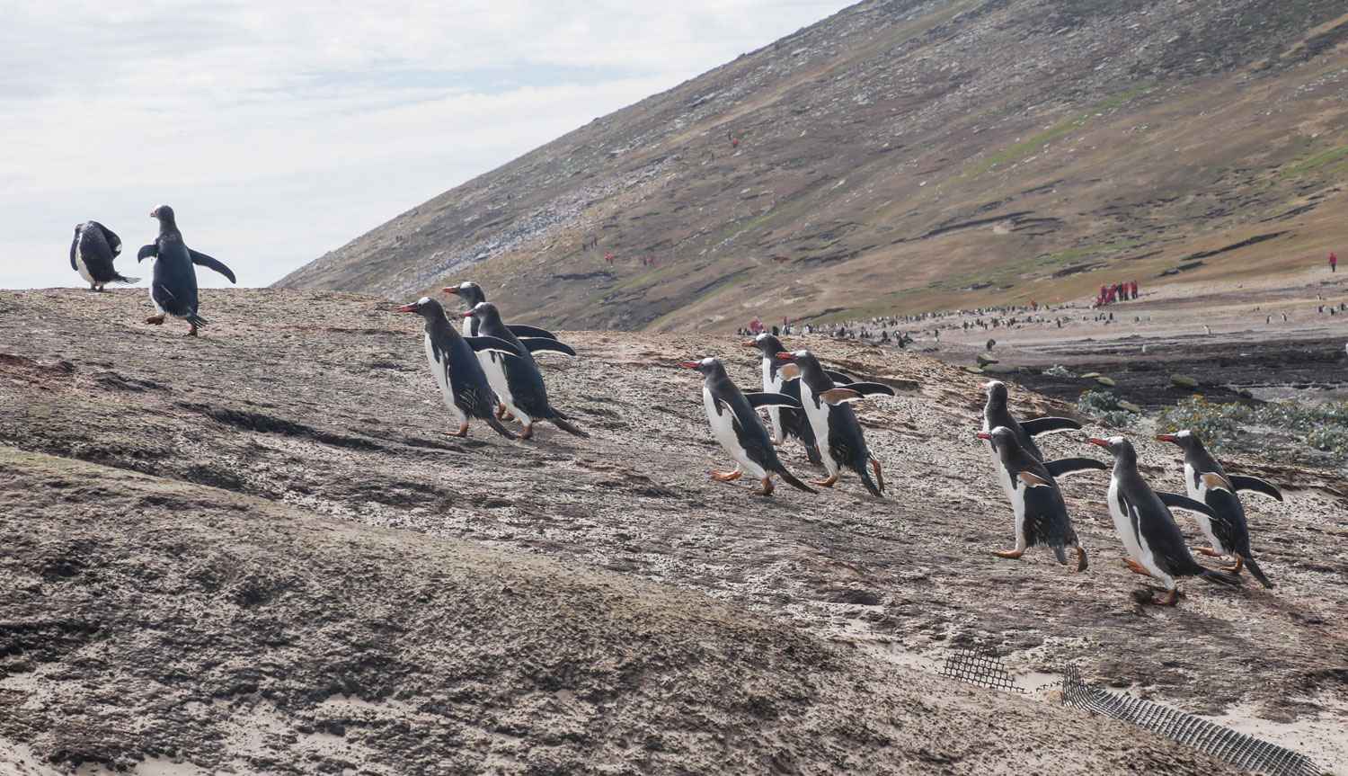
As we walked forward, we had to stop for a parade of Gentoo Penguins who were coming out of the water.

They hurried up the hill.
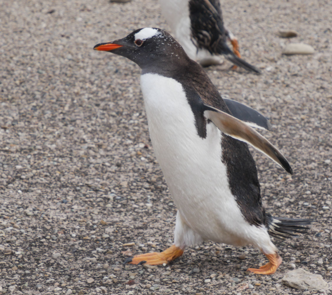
Here's a Gentoo that just came out of the water. Note that s/he has "speckles" of white on his head. We didn't see that on Gentoo penguins in Antarctica. It seems that there are genetic variations in the various groups.
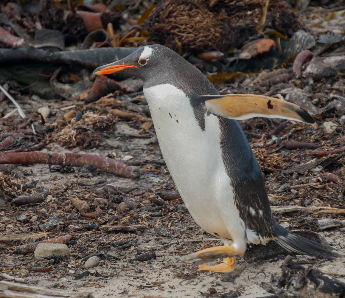
I took at least a hundred pictures of penguins during this excursion but I can only put a few pictures here. I'm sure you'd get very sick of seeing penguin pictures, but they are captivating.
A close up of a Gentoo.

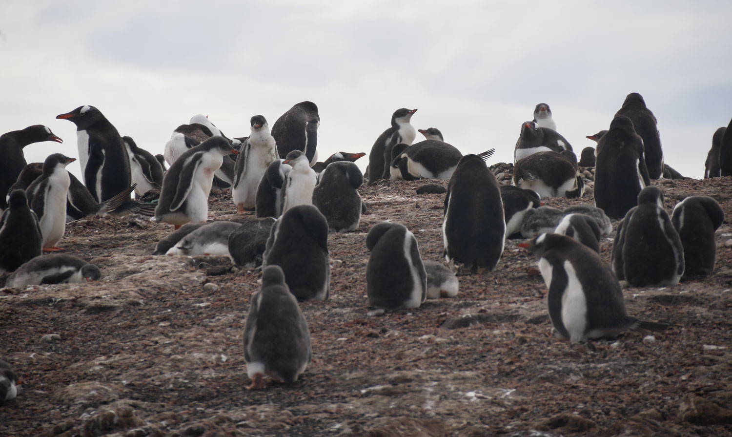
Just a few of the penguins in one group - and there were many groups.
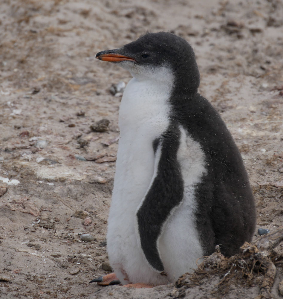
This is a young penguin. He's shed the brown fuzz feathers and has mature coloration, but his coat is not that of an adult yet.
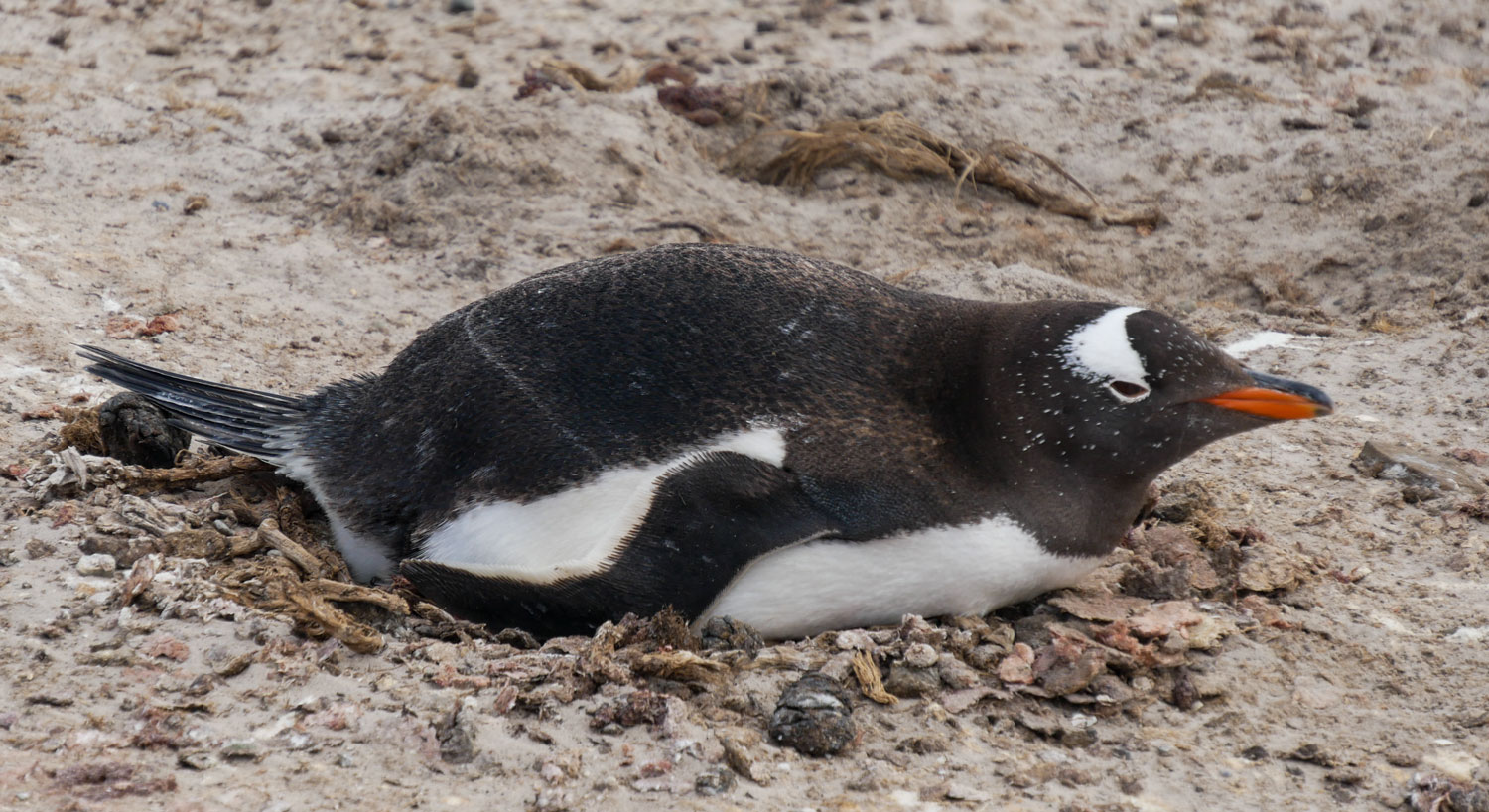
A penguin on the nest. Given the size of the young penguins, it seems late to be incubating an egg.
Here's a parent and baby. Looks like the baby is asking for food. The parent ignored the baby.
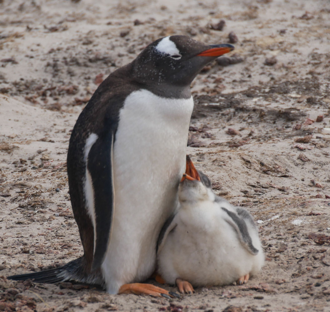
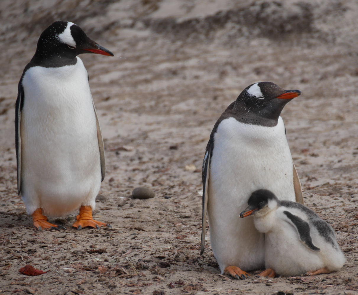
Another picture of the same pair, with the other parent looking on. The baby gave up begging and is just cuddling with the parent. I can't tell whether the parent is the mother or father since I can't tell the sex of the adult penguins.
[Update: According to some research I did, male penguins tend to be larger and to have a longer beak than females. This would indicate that the baby is cuddling with its mother and the father is looking on.]
Here was an interesting event. Two smaller penguins were fighting with the larger penguin. After a period of squawking and biting, the bigger penguin gave up the fight and took off running into the colony. The two smaller penguins chased the larger one completely through the colony before giving up the chase.
Here they are squabbling.
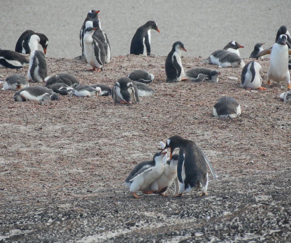
The big penguin gives up and runs to towards the colony.
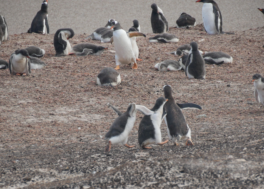
The two smaller penguins chase the larger one. Nobody else pays much attention.
A group of King Penguins. They are larger and have a colorful spot glowing on their head and throat.
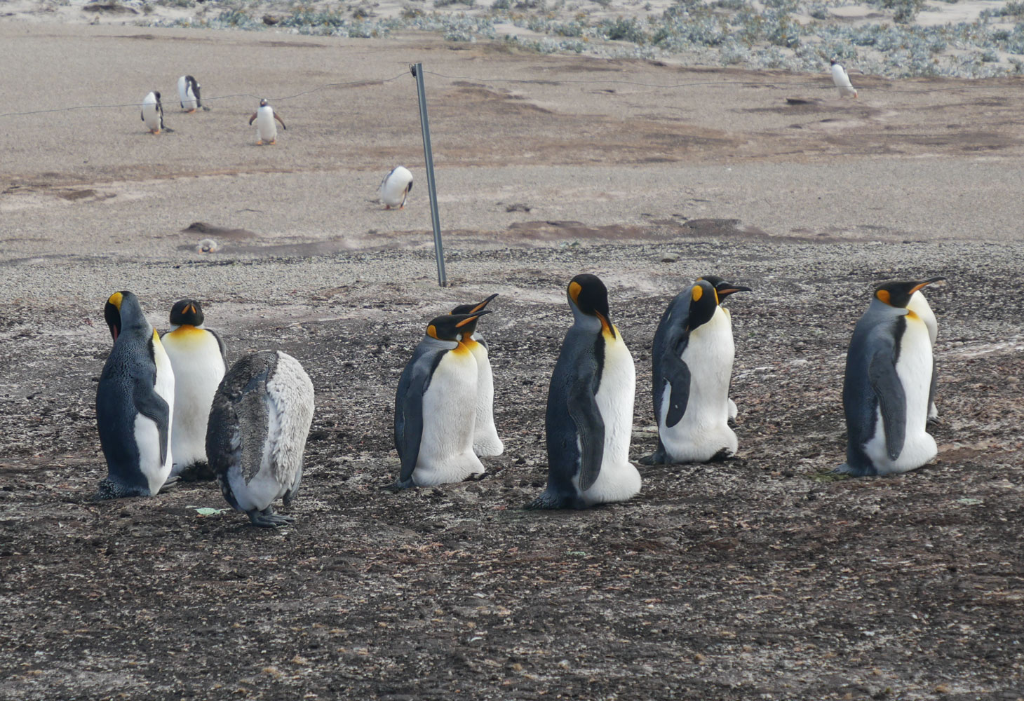
A closer view of a King Penguin.

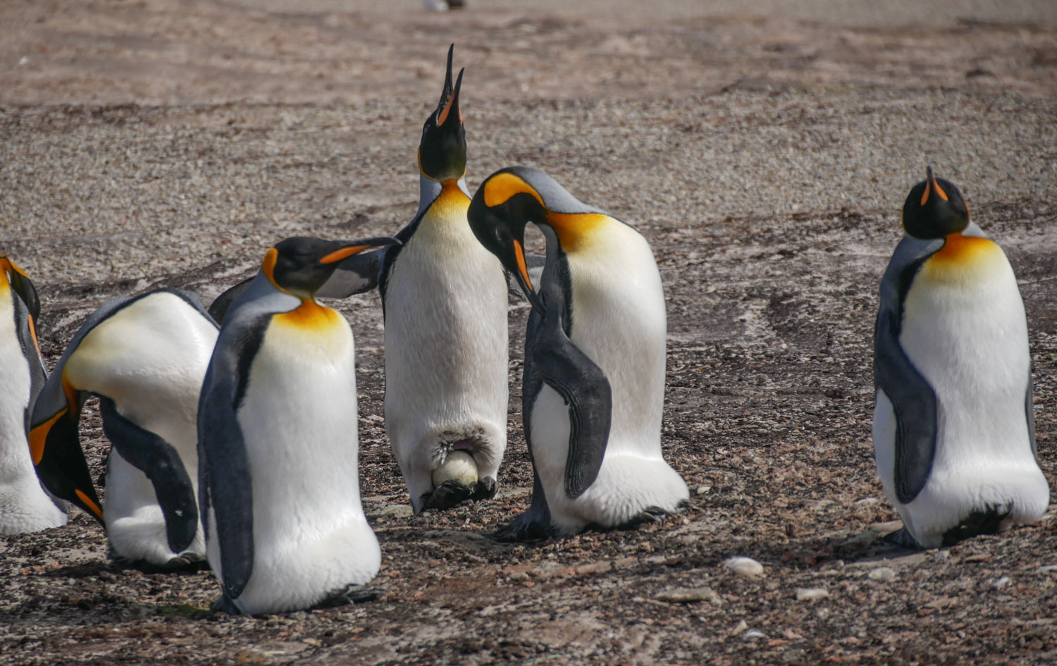
And one more of the King Penguins. The one raising its head has an egg sheltered between its feet. They raise the egg up and hold it on their feet.
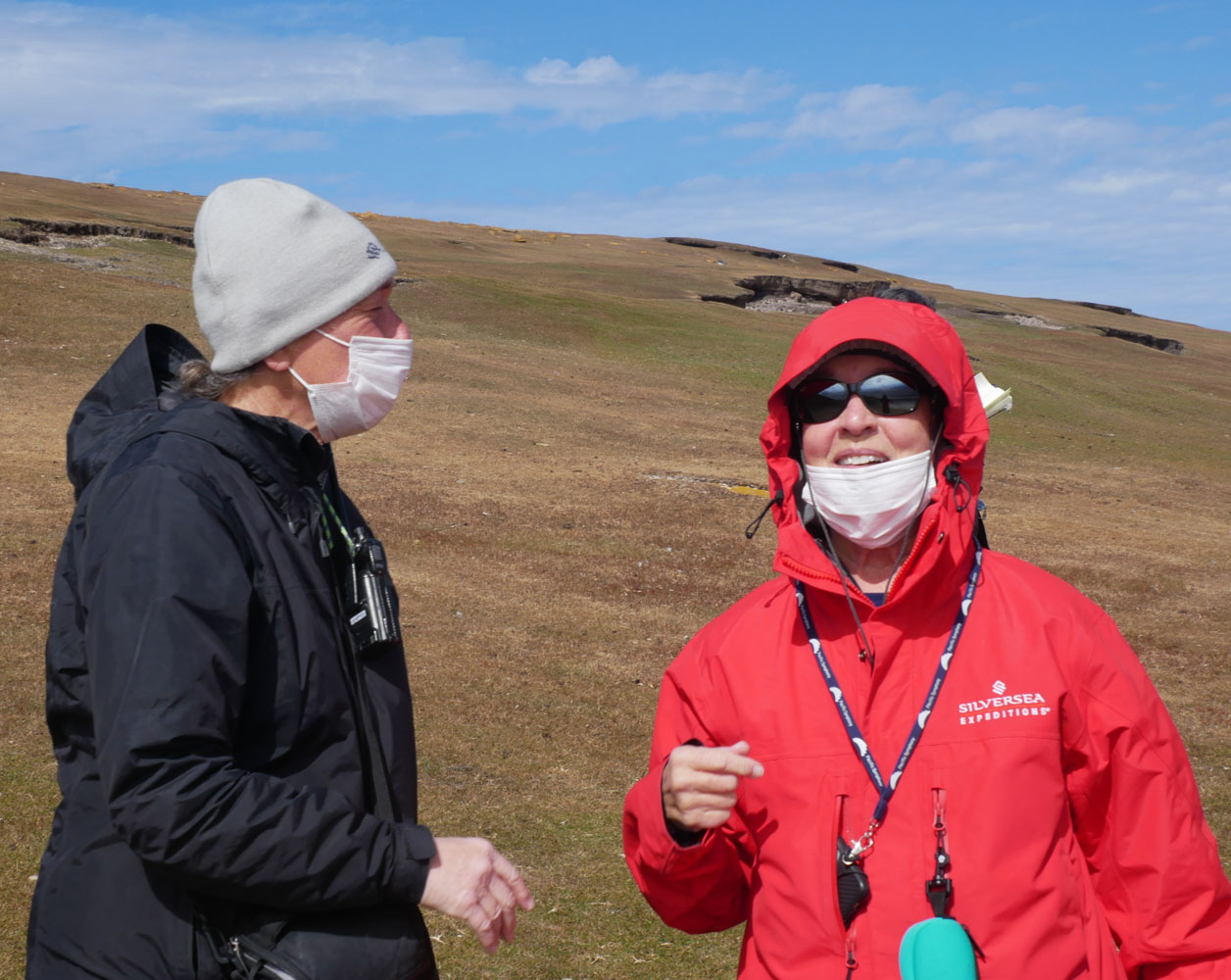
Judy and Victoria on the island. Victoria is a historian, and one of the Expedition Leader lecturers. She gave excellent lectures.
I climbed a hill next to the Neck and found another colony of Gentoo Penguins. I won't show a picture of that colony, but one thing I found interesting is that most of the young penguins were clustered together with just a few mature penguins. Maybe it was the day care area.
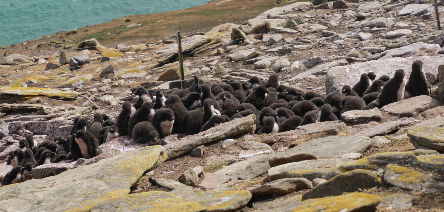
A close up of the young penguins. I wonder how the moms find their chicks.

The hill got fairly steep at one point and I was huffing and puffing. There was an albatross nesting area further on (in the direction of the people in the far center of this picture) but I was tired and had seen albatrosses in the Galapagos so I didn't go all the way to the nesting area.
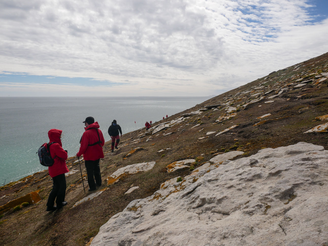
I met Judy heading up hill as I was heading down and we both went back down. I felt that the steep portion of the hill was not appropriate for Judy.
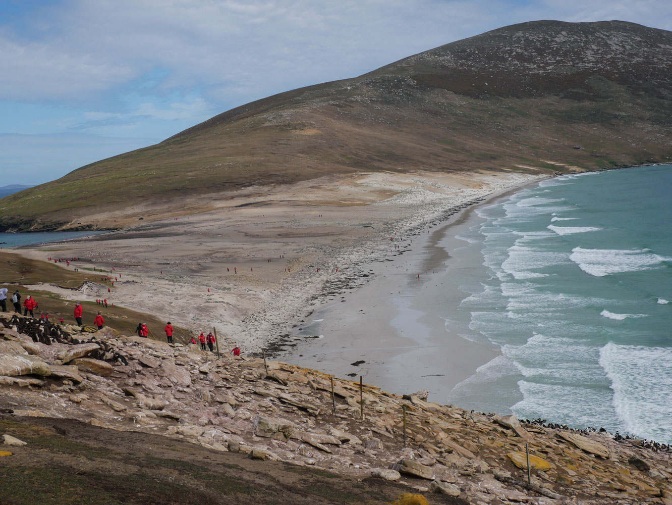
I took a picture of the "Neck" from the hill. The beach on the north side is really nice - lots of sand stretching out into the ocean. From this distance you really can't see the penguin colonies, except for the one on the left.
As we headed down, I found a Rockhopper. There were just a few Rockhoppers in the area - most were Gentoos.

Judy on her way down the hill.

A sea gull that flew by.
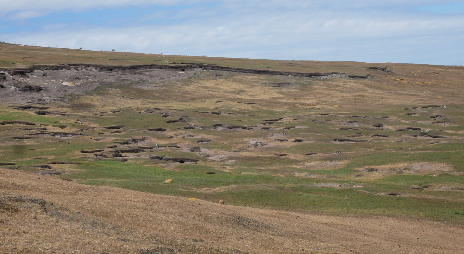
This is a nesting area for Magellanic Penguins. They burrow into the ground for their nests. You can see a few Magellanic Penguins in the picture (as white dots). The rest are in their burrows.
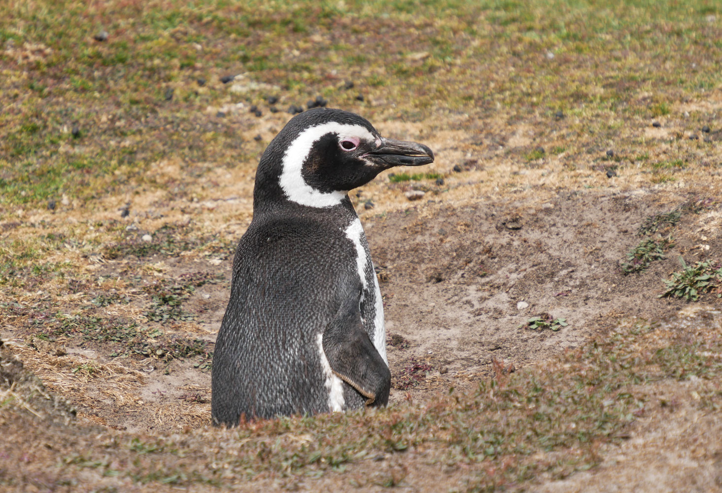
Here's a close up of one of the Magellanic penguins just peeking out of its burrow.
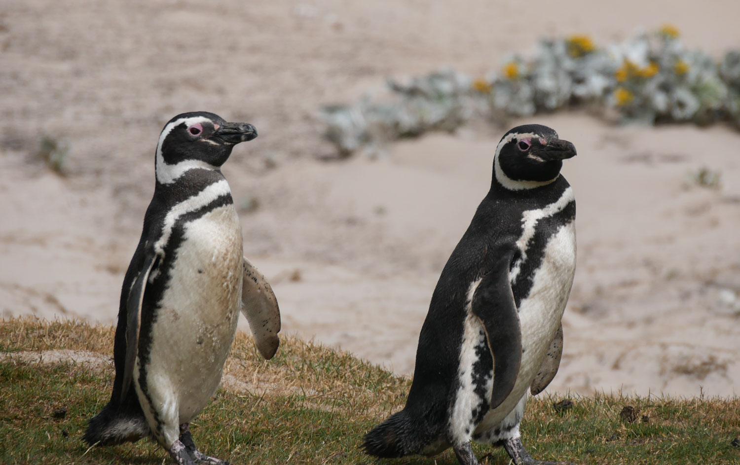
A couple of Magellanics walking down to the ocean.
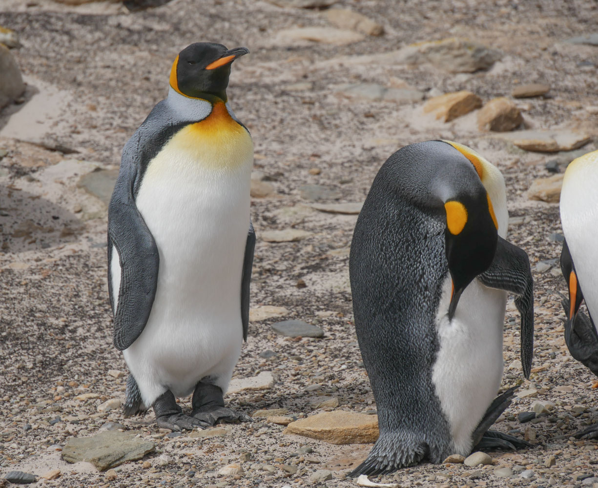
Judy and I walked down to the beach area where we found more penguins. Here are a couple of King Penguins.
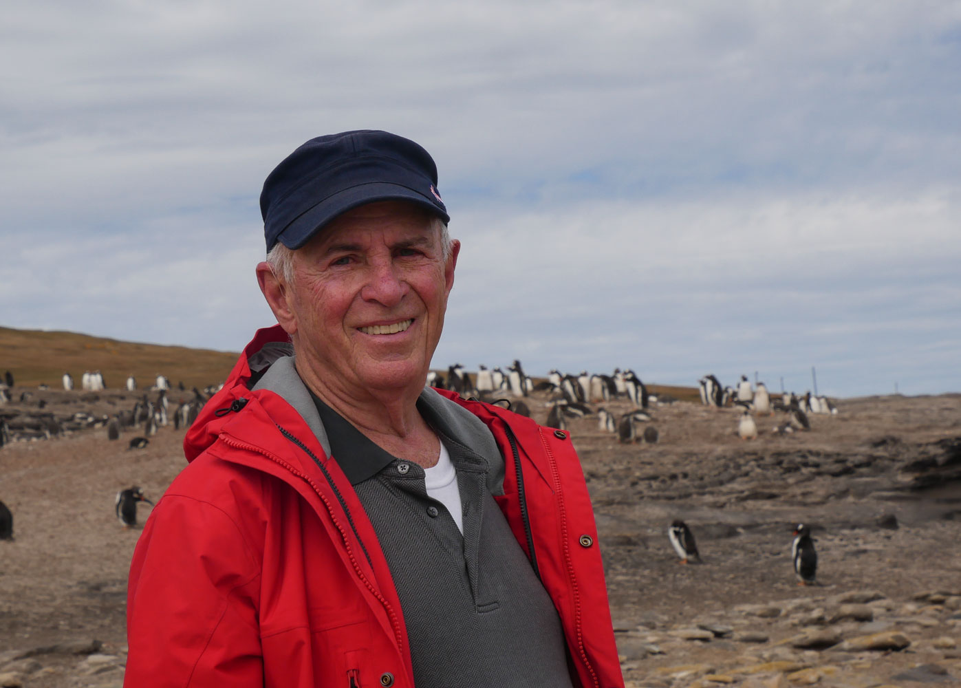
Judy took this picture of me on the beach, with a colony of Gentoo Penguins in the background.
A Gentoo trucking along in front of us.
An Oyster Catcher on the beach

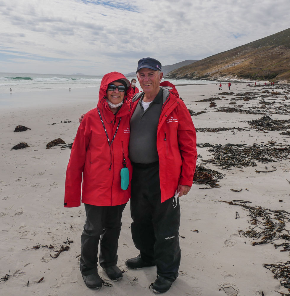
Judy and I on the beach. We were celebrating our anniversary, although it's not for a couple of days. We thought a walk on the beach was a romantic way to celebrate.
As we were walking to the zodiac landing area, a Gentoo Penguin came towards us, apparently curious about who we were.

Here he is looking directly at me.
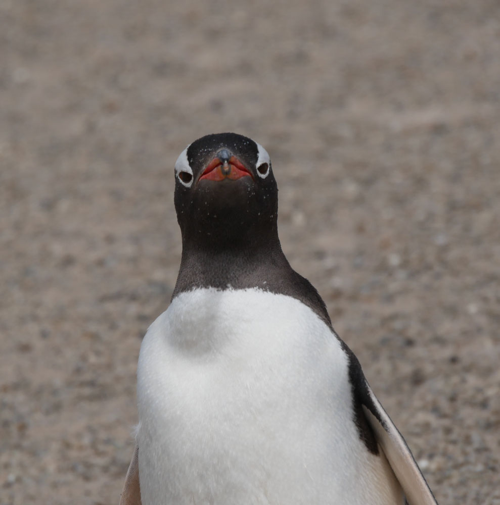
A portrait of a penguin.

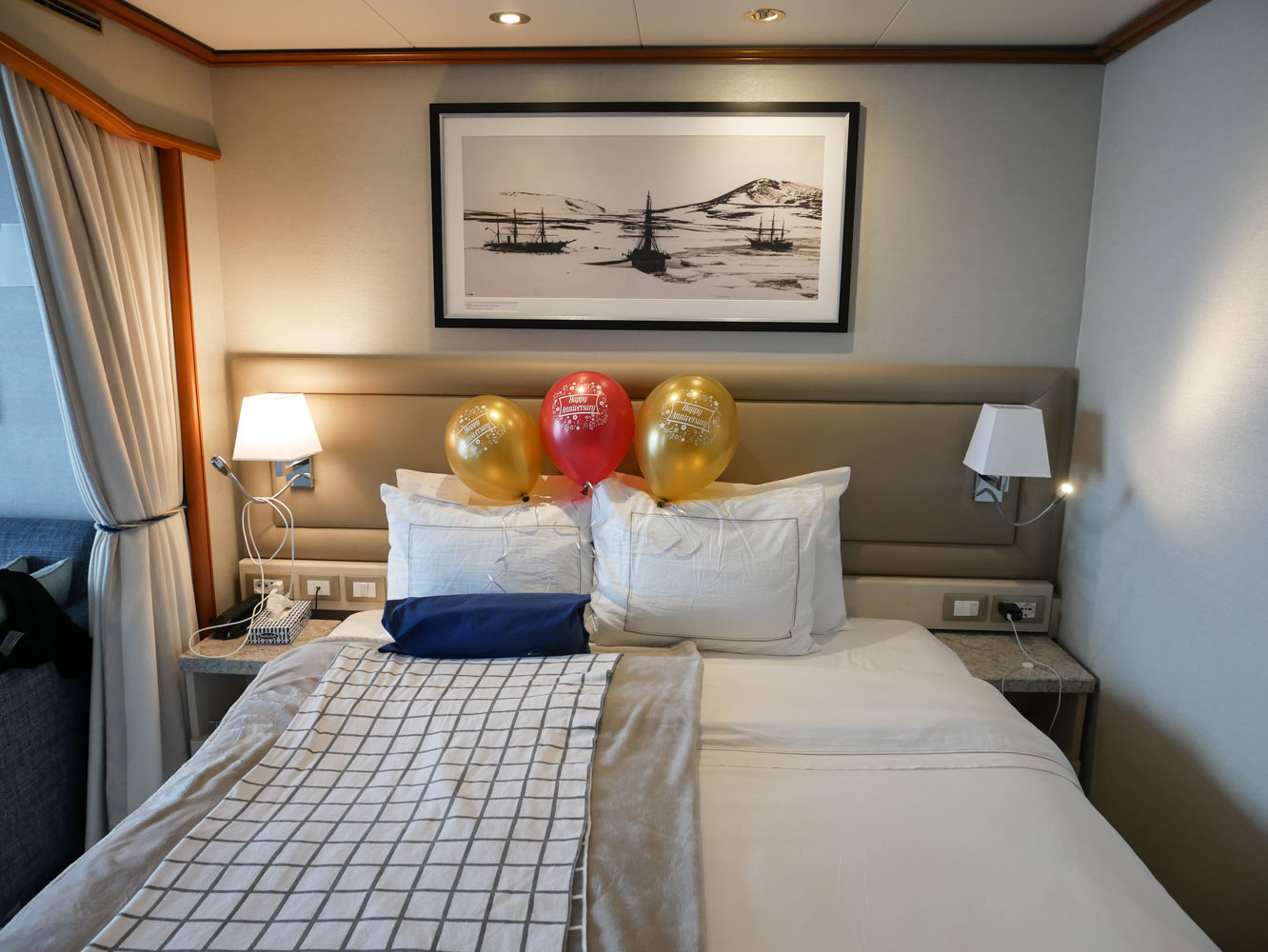
When we got back to the ship, we found some balloons in our cabin to celebrate our anniversary.
After lunch we took an excursion to Carcass Island. Here's another description of Carcass Island. We were offered two excursions. The "short one" landed you on the beach on the south side of the bay and you could wander around that area. The "long one", which we chose, landed us at the north side of Port Patterson and picked us up after our walk to the south side. There were different distances quoted to us for the distance. When we arrived at the north side, our guide said the walk was about 7km, which concerned me because I didn't think Judy would be able to do 7km on this kind of terrain.
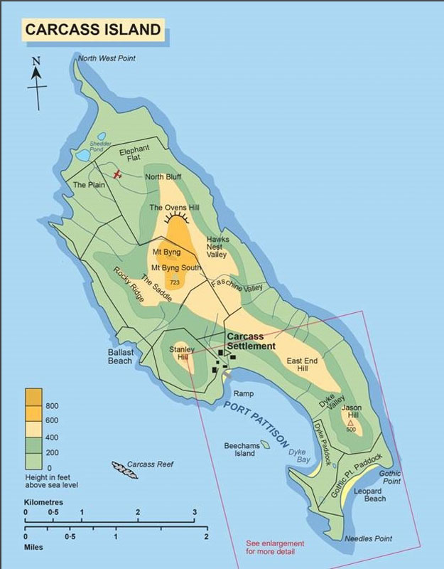

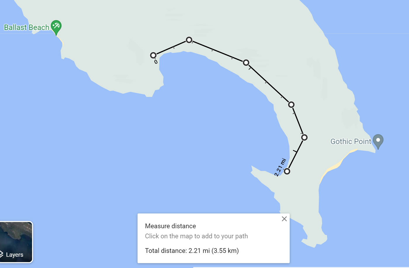
Once I saw the area, I was sure it was not 7km. Just to check, when I got back to the ship, I checked the distance using Google maps. The distance we walked was about half that, about 3.5km, or a bit more than 2 miles.
Here we are approaching the landing dock. I think the house is for a caretaker, but he's not here now.

The landing was very convenient. The zodiac just nosed to the side of the dock and we walked off with dry feet.

A better view of the landing dock. The departure from the other side of the bay will be wet.
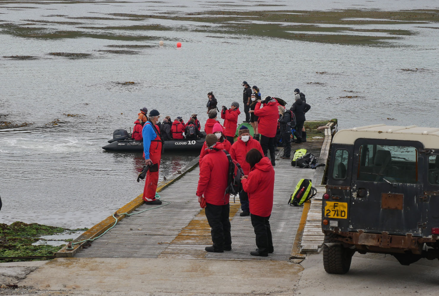
Most of the people opted for their boots, but a few people opted for easier walking shoes. I suppose they'll remove their shoes to get into the zodiac.

The path we initially walked was bordered by gorse. I was interested to see the gorse because the British soldiers reported having to walk through gorse on their yomp across East Falklands. It's not something I'd want to walk through, being tough and prickly.

Here's the group starting out across the terrain. Luckily, it was fairly flat. It had a rise at the end but it was not too bad.
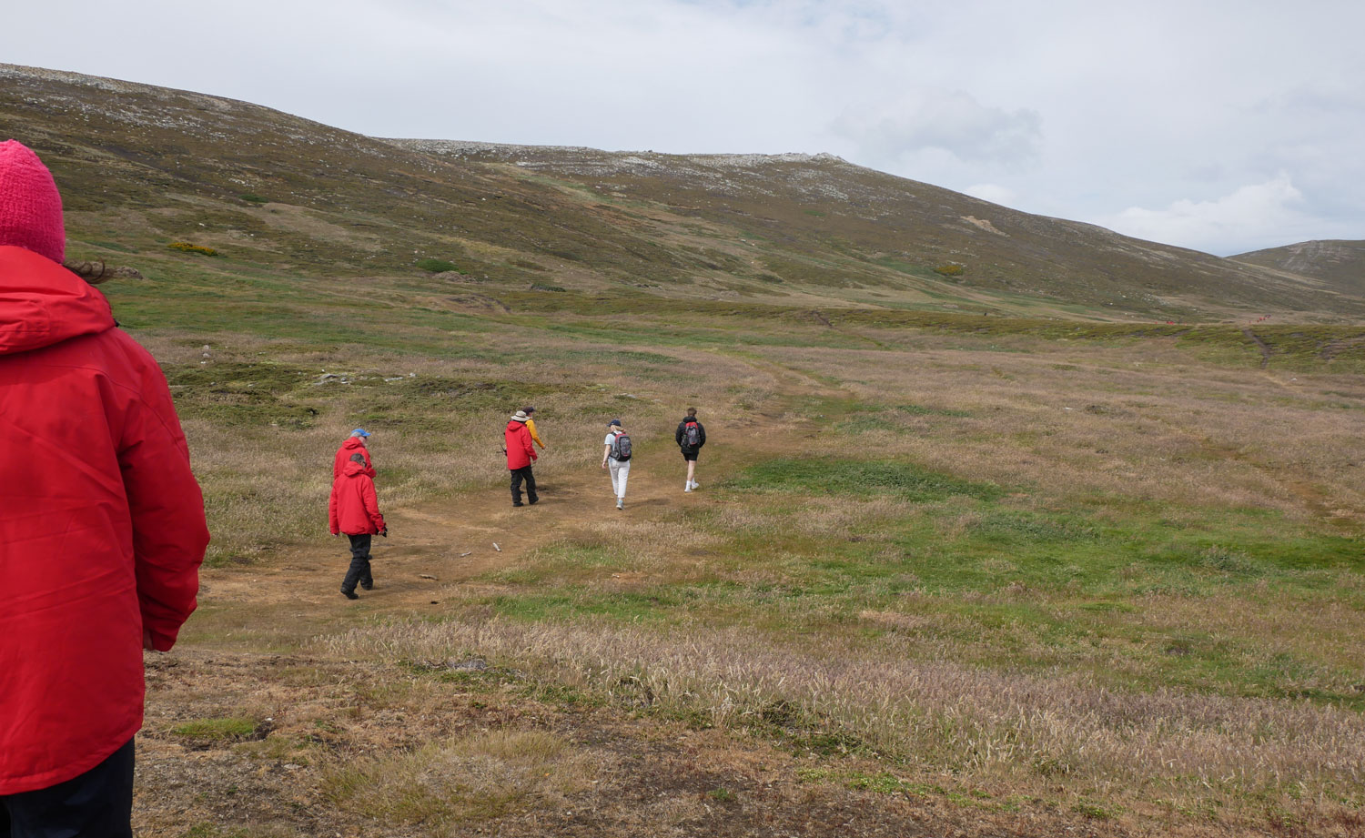
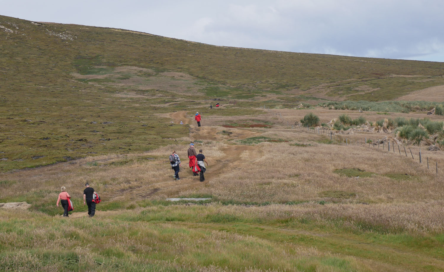
A view of hikers about half way through. Notice that some of them are carrying their jackets. It was not very cold.
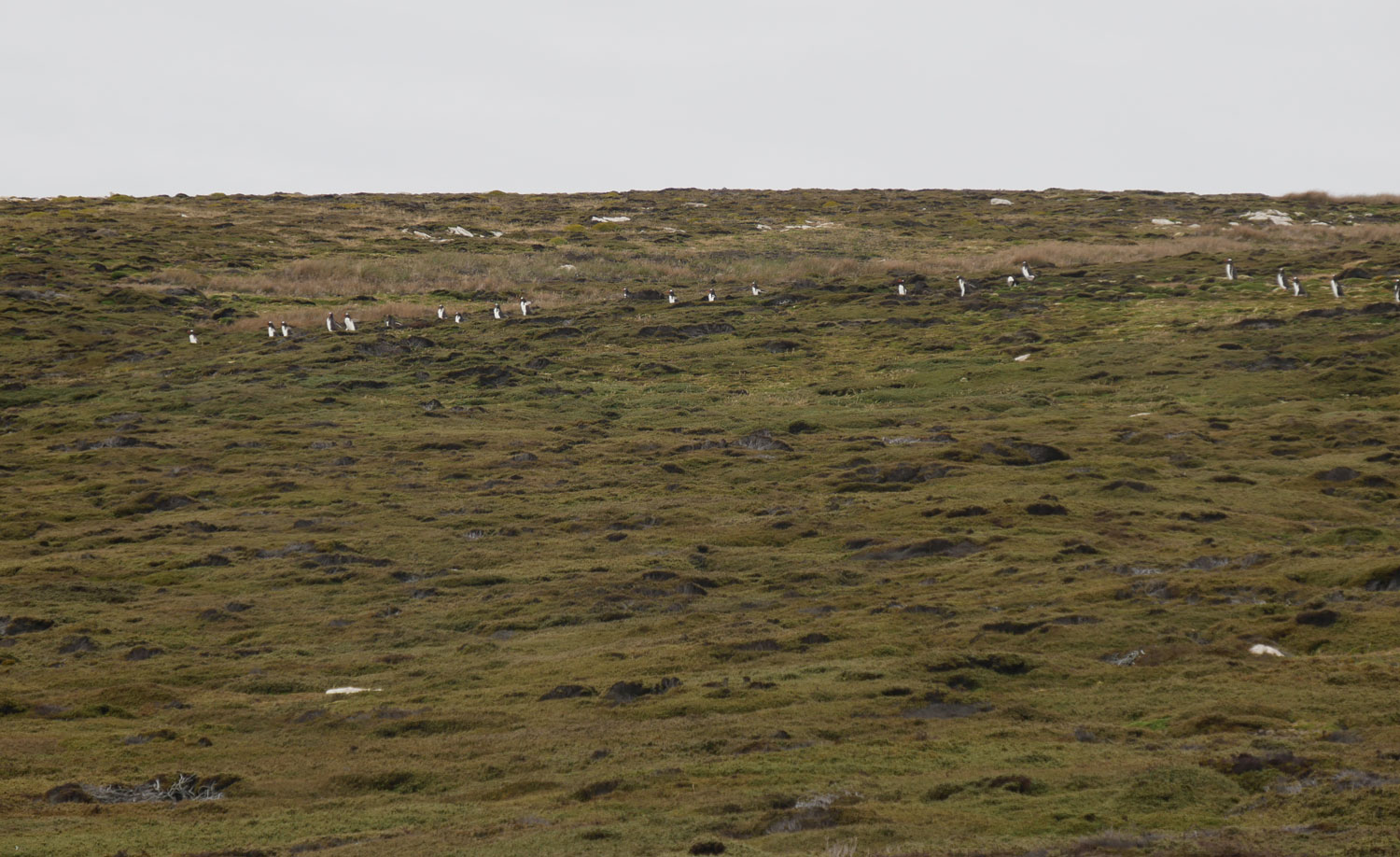
As we got to the other end of the bay, I noticed penguins way up on the hillside. Why they came all that way, I don't know.
Here are a few penguins crossing the track we're on, heading up the hillside.

Judy and I were lagging behind the group about this time. Shortly after the penguins crossed the road, we saw the lead group coming back towards us. Seems that the expedition crew had not marked the trail to the beach well enough and they missed it.
Here's the beach we're heading to. The zodiac loading area is at the far end of the beach.

We managed to get down to the beach by following the "penguin road" that the penguins use to climb up the hill. Here are some of the people coming down the penguin path.
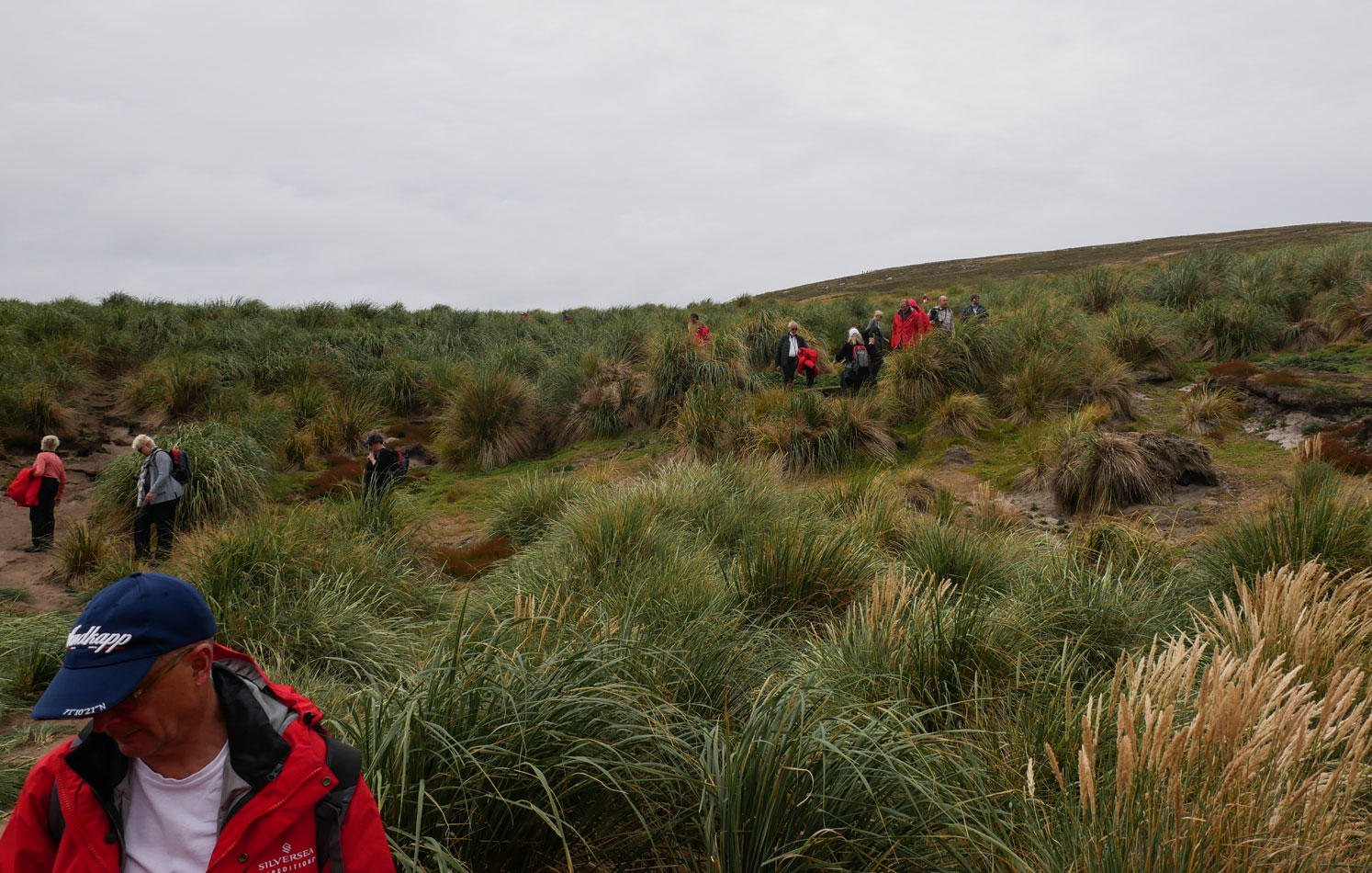
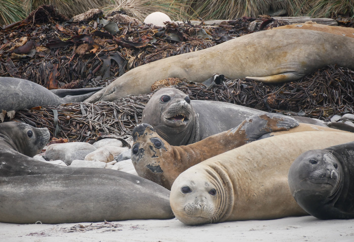
When we got to the beach, what to our wondering eyes should appear but a group of elephant seals.
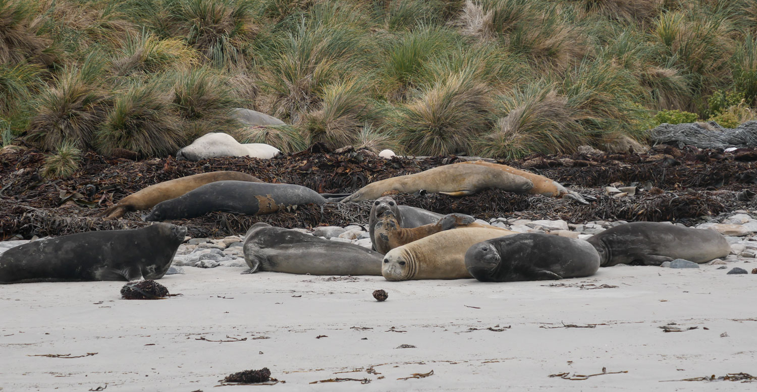
Aren't they sweet looking?
A bit further down the beach we found a group of Gentoo and Magellanic penguins.

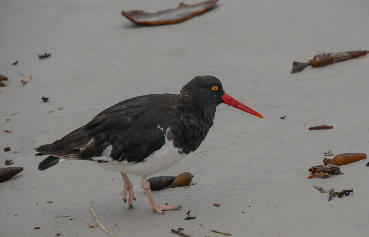
We came upon several Oyster Catchers as we walked to the zodiac site.
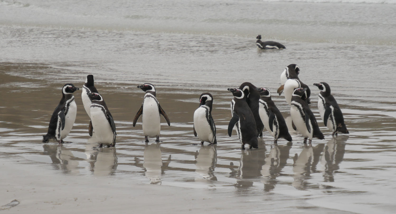
And the last group of animals was a group of Magellanic penguins in the surf.
With that, we caught the zodiac back to the ship. Our butler had set a small "celebration" for us.
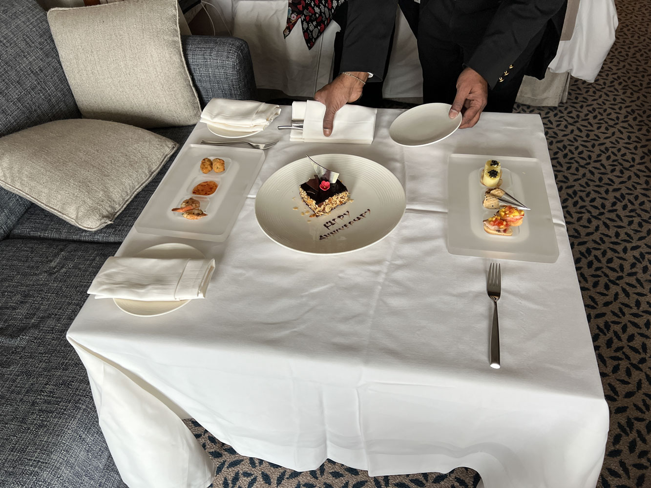
Here are Janet and Judy.

We had the "thank the crew" meeting this afternoon. Here's most of the crew (somebody had to be driving the ship).
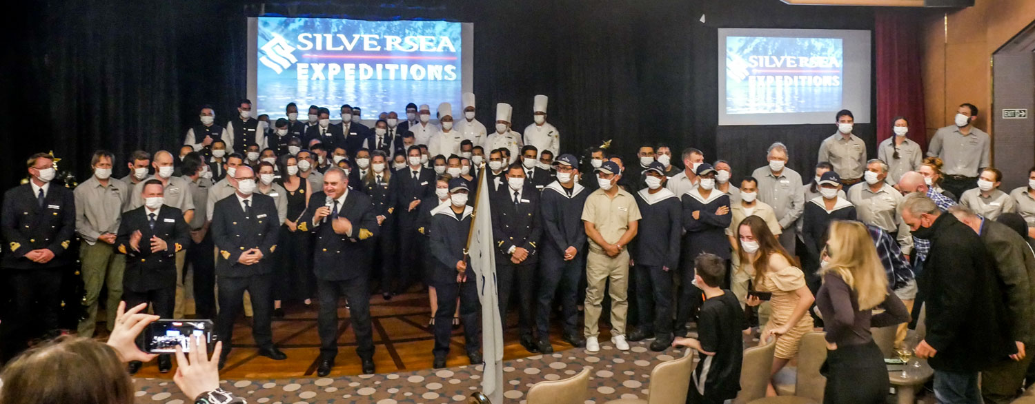
They auctioned a map showing the path of this cruise - for the benefit of the Crew Relief fund. I made a small bid and then the bidding skyrocketed to $8,000. Wow!
That was the end of our day. Tomorrow is an "at sea" day as we head to Punta Arenas.
++++++++++++++++++++++++++++++++++++++++++++++++++++++++++++++
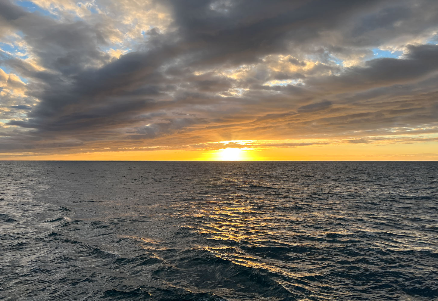
1/4/2022 (Tuesday) At Sea, heading to Punta Arenas. Location at 6am, 51˚56'S, 65˚0'W, 7˚C, Bright sunny sunrise. Calm sea. We get another COVID test this morning, then spend some of the day packing.
We were treated to this magnificent sunrise on our last morning at sea.
We had our COVID test this morning. We need a negative test in order to board the aircraft to the USA. All three of us tested negative, so I guess we can go home.
The rest of the morning and afternoon was spent napping and packing.
In the evening, the expedition team presented the video of the trip. Here's the expedition staff.

The video was fantastic. I'm in awe of the amount of work that must have gone into producing it. And it was done on a ship around Antarctica and the Falklands. Keep an eye out for the guy at 5:51 on the video. The video was created by Benn Berkeley and I think he did an excellent job - except for too much time on the Polar Plunge.
Bag pull is this evening at 11pm