
Barcelona to Cape Town
November 18 to December 13, 2023
Mike and Judy Henderson
We've left the Canary Islands and are heading to the Cape Verde Islands. After that, we visit the African mainland. As we sail south, it's gradually getting warmer. I'm now wearing short pants and shirts.

+++++++++++++++++++++++++++++++++++++++++
11/24/2023 (Friday) Today is a "sea day" as we sail towards the Cape Verde Islands. Life is quiet on board during a sea day. We slept late and participated in some games that Regent organizes. If you win at one of the games, you get a "point card" of one, two, or three points. At the end of the cruise you can exchange your points for Regent merchandise, such as a Regent baseball cap or a Regent-labeled shirt. I don't know, right now, how many points we'll need for any of the merchandise.
I'll try to get some pictures of the games later, but some are a bag toss, golf putting, shuffleboard, a Mensa puzzle, and a trivia game.
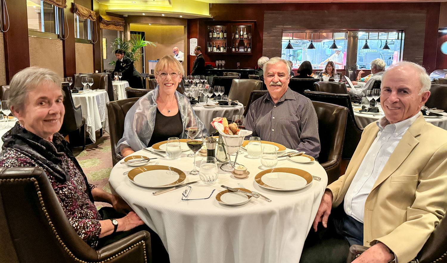
We had dinner in the Prime 7 restaurant with Richard and Eva.
+++++++++++++++++++++++++++++++++++++++++
11/25/2023 (Saturday) Today is another "sea day". Judy and I played the bag toss game this morning and won one point.
+++++++++++++++++++++++++++++++++++++++++
11/26/2023 (Sunday) We arrive at Mindelo, São Vicente today. São Vicente is a very small island, only about 87 square miles, much smaller than any of the major Hawaiian islands, smaller even than Lanai which is 140 square miles. Portuguese is the primary language of the islands.
The main island of the Cape Verde islands is Santiago, where the capital, Praia, is located. About half the population of the Cape Verde Islands lives on Santiago.
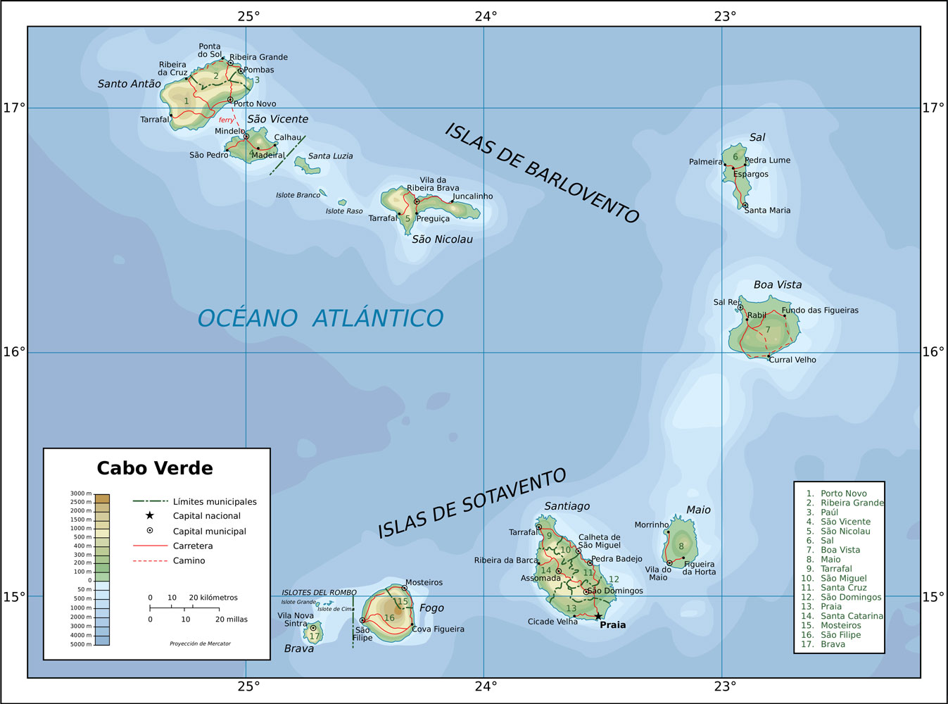
93% of the population of São Vicente lives in the town of Mindelo, so there's not much going on outside the town. The port is an important harbor though, because nearby mountains offer protection from storms.
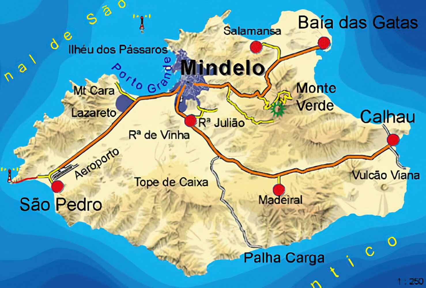
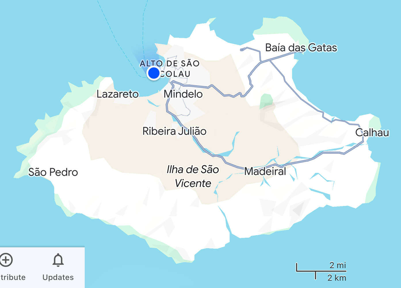
Our excursion today will take us up to the top of Monte Verde, then to Baia das Gatas., and then by a road that's not shown on the map, above, to Calhau, and then back to Mindelo. The road between Baia das Gatas and Calhau is shown on this map, but Monte Verde is not shown.
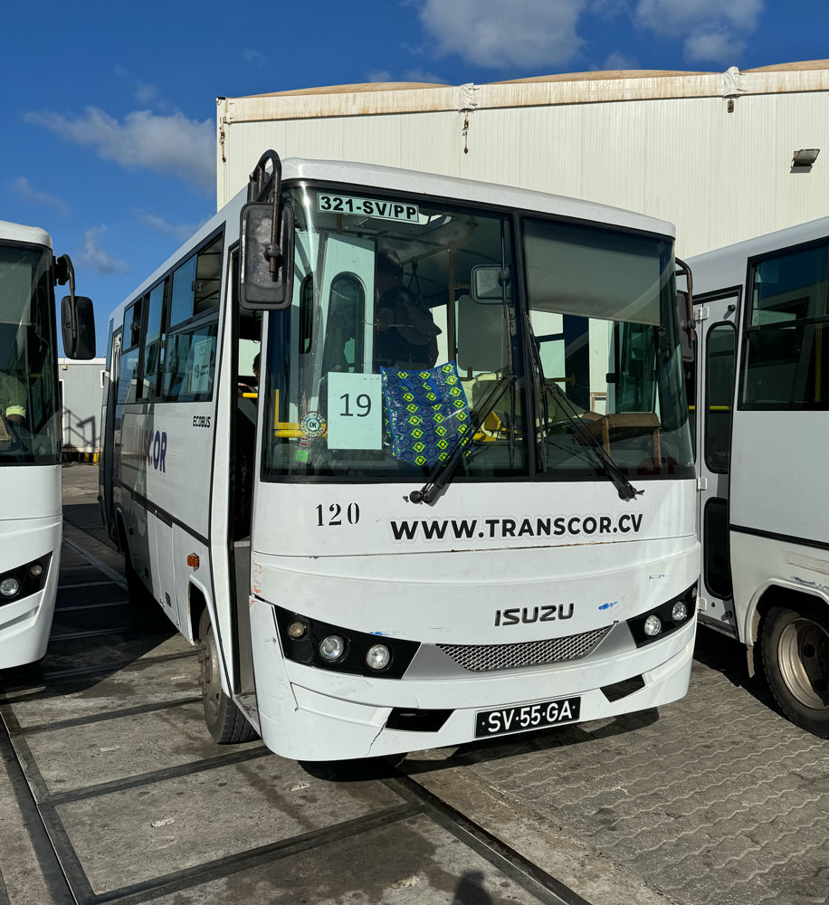
We're in a smaller bus this morning. It's used for public transportation during the week, and has hanger straps on the ceiling.
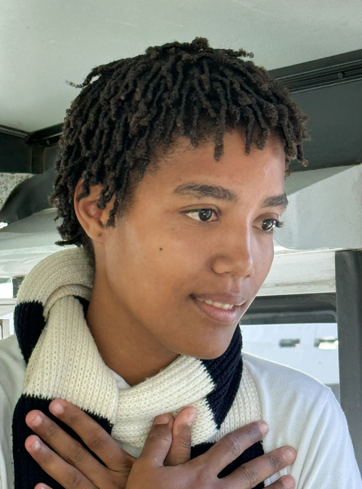
Our tour guide was a Halle Berry look-alike. She had a fairly heavy accent but was very enthusiastic.
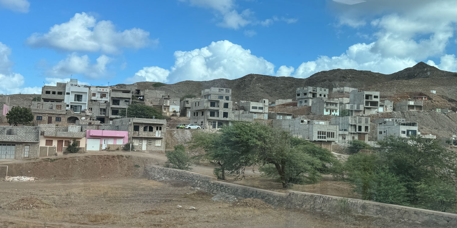
São Vicente is not a wealthy island, but neither is it extremely poor. There were a lot of houses under construction but many appeared to have paused construction. The lower windows and doors were closed up with concrete blocks. People build when they can afford to, and then pause until they have saved more money.
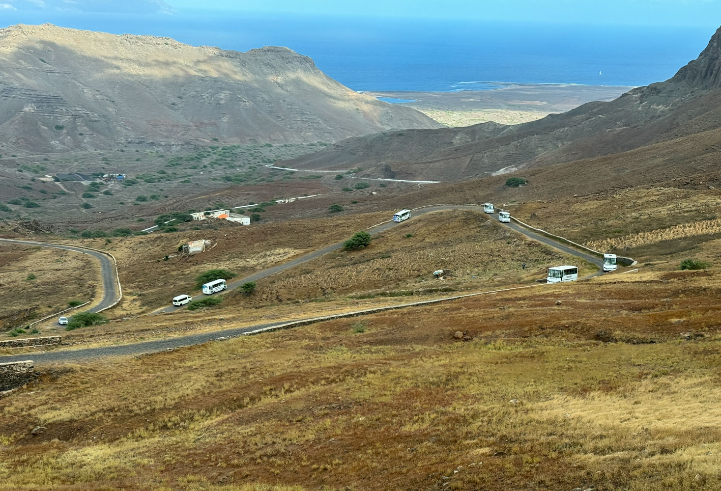
We eventually reached the turnoff from the main road to the road up the mountain, as you can see on the first map of São Vicente. Here's a view looking down the mountain side, with other buses coming up.
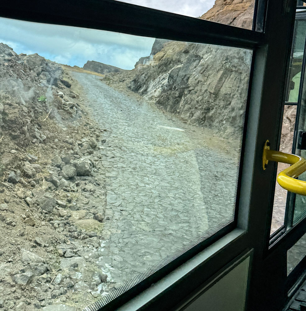
An interesting thing is that the road up the mountain is cobblestone. The amount of labor that must have gone into building this road is unbelievable. It makes a rough ride, but it's a good, long-lasting road. This is not a great picture, taken through the bus window, but it gives you an idea of the cobblestone road.
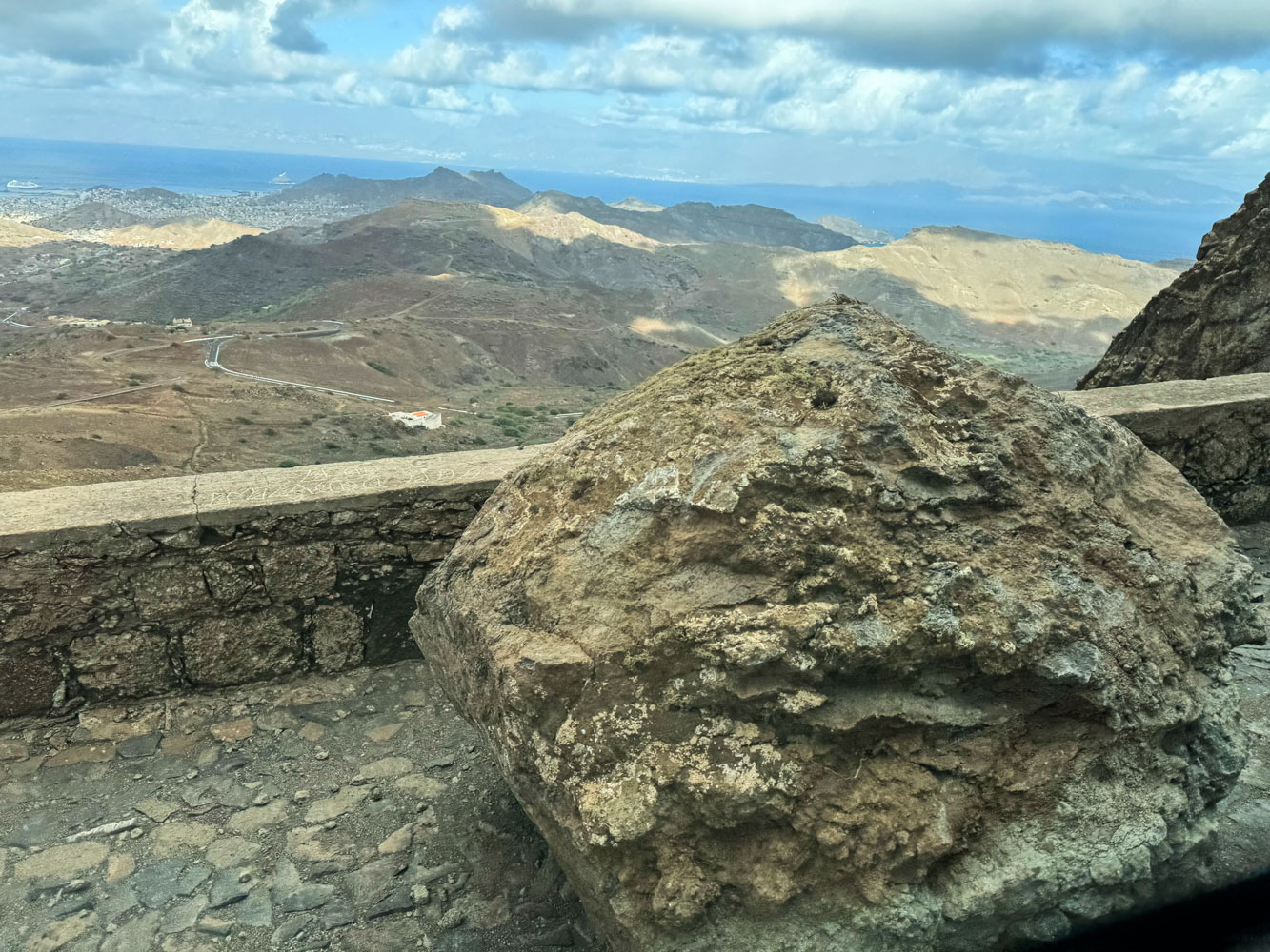
There were some rocks and boulders on the road. Judy took this picture through the window of the bus as we were passing the boulder.
Eventually, we reached the top where there was a view point and a small hut.
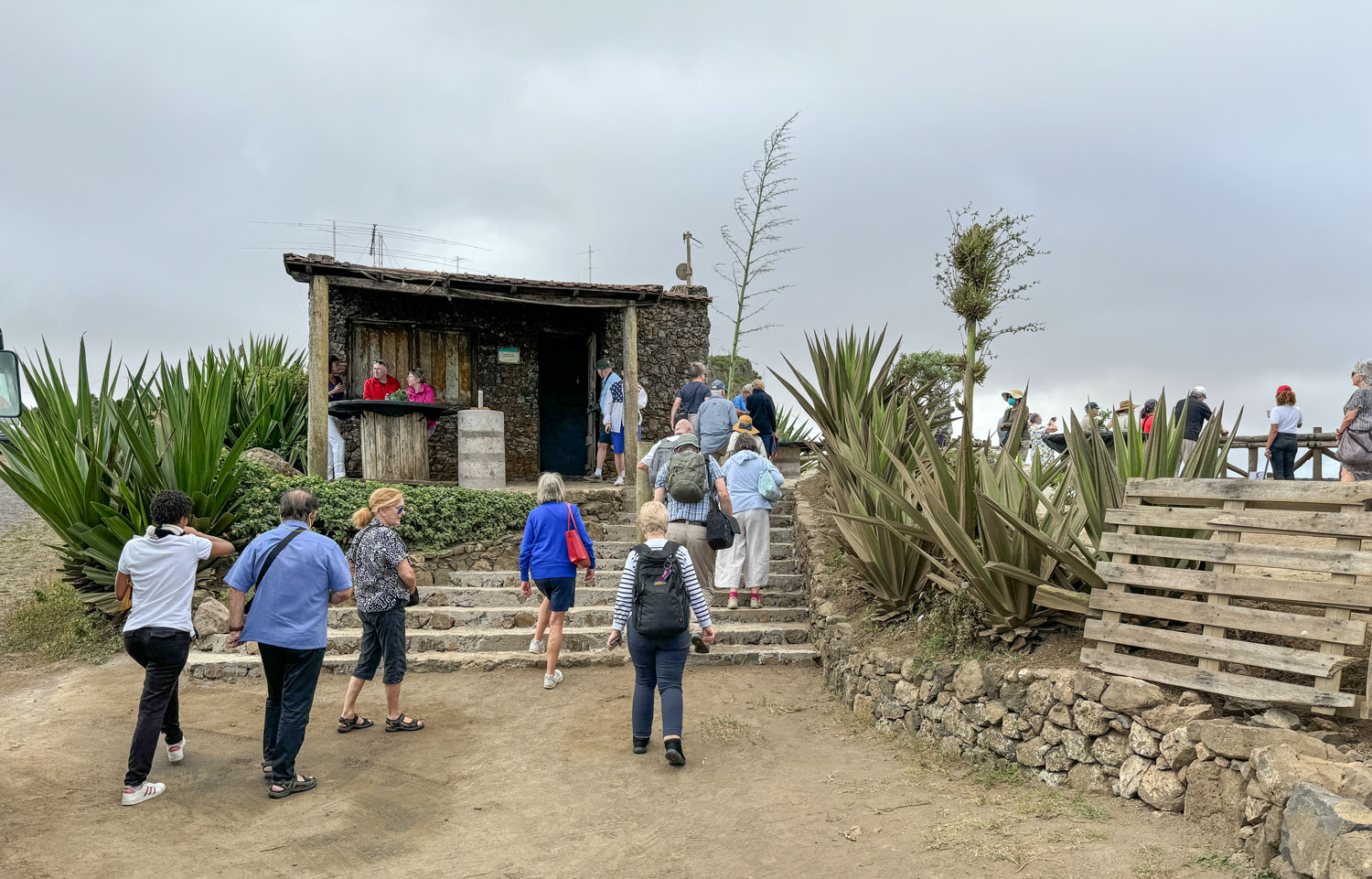
They brought out various drinks for us, including water, coffee, tea, soda, and some kind of local alcoholic beverage, so we didn't have to enter the hut. I went in, just because I was curious, and took this picture.
These items were for sale and I think the three unmarked bottles on the counter contained the locally brewed alcoholic beverage.

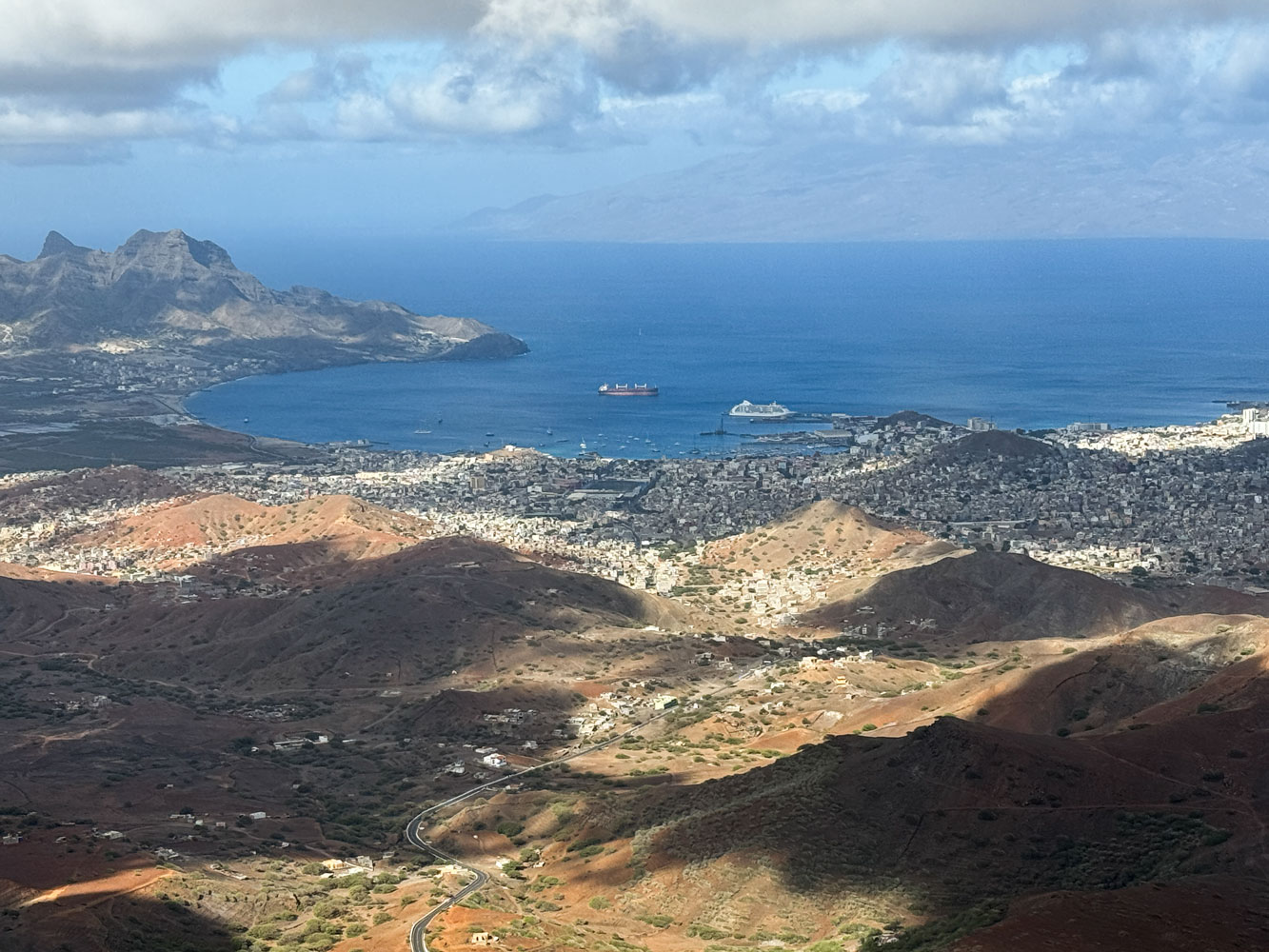
We could see the town of Mindelo, the port, and the Voyager.
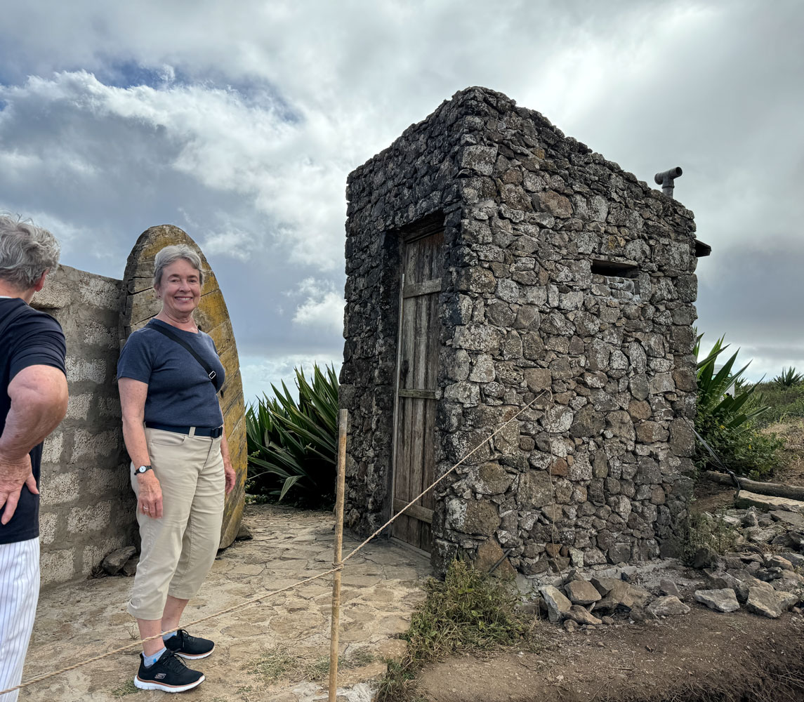
There was a small outhouse behind the hut. It would be generous to call it primitive, but it was appreciated.
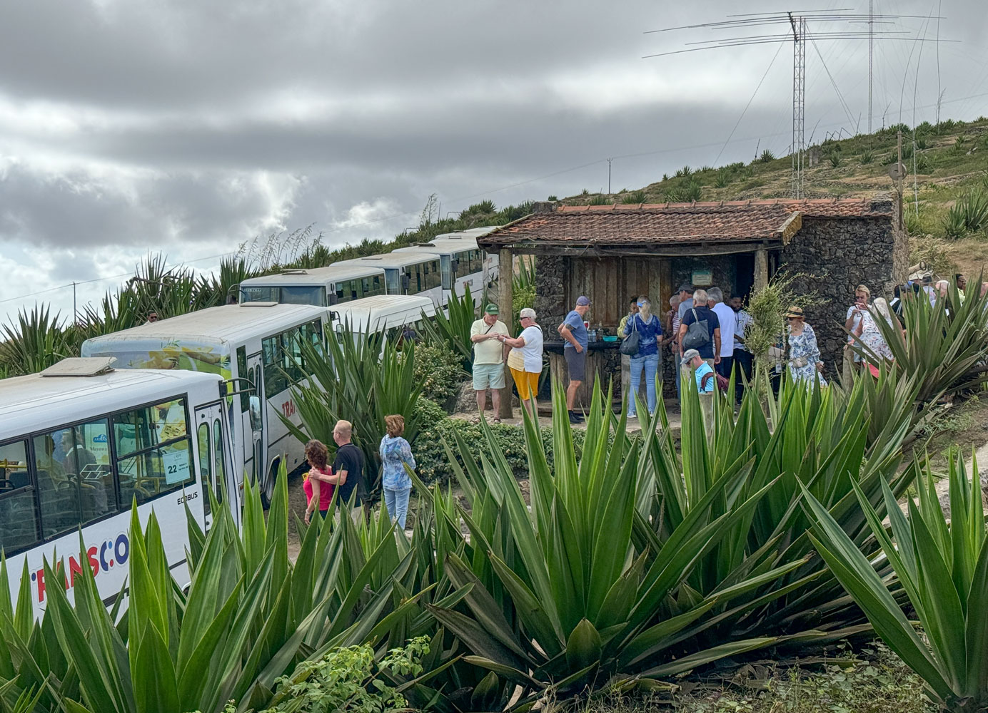
Unfortunately, all of the tour buses run the same route, so we were crowded at the summit. I didn't count the number of buses, but there were many.
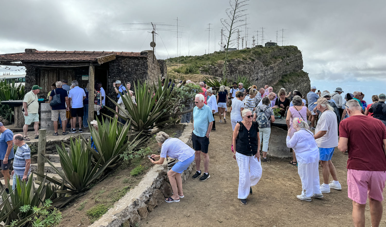
Some of the crowd on the mountain top. There is an antenna farm on the top of the mountain (background of this picture).
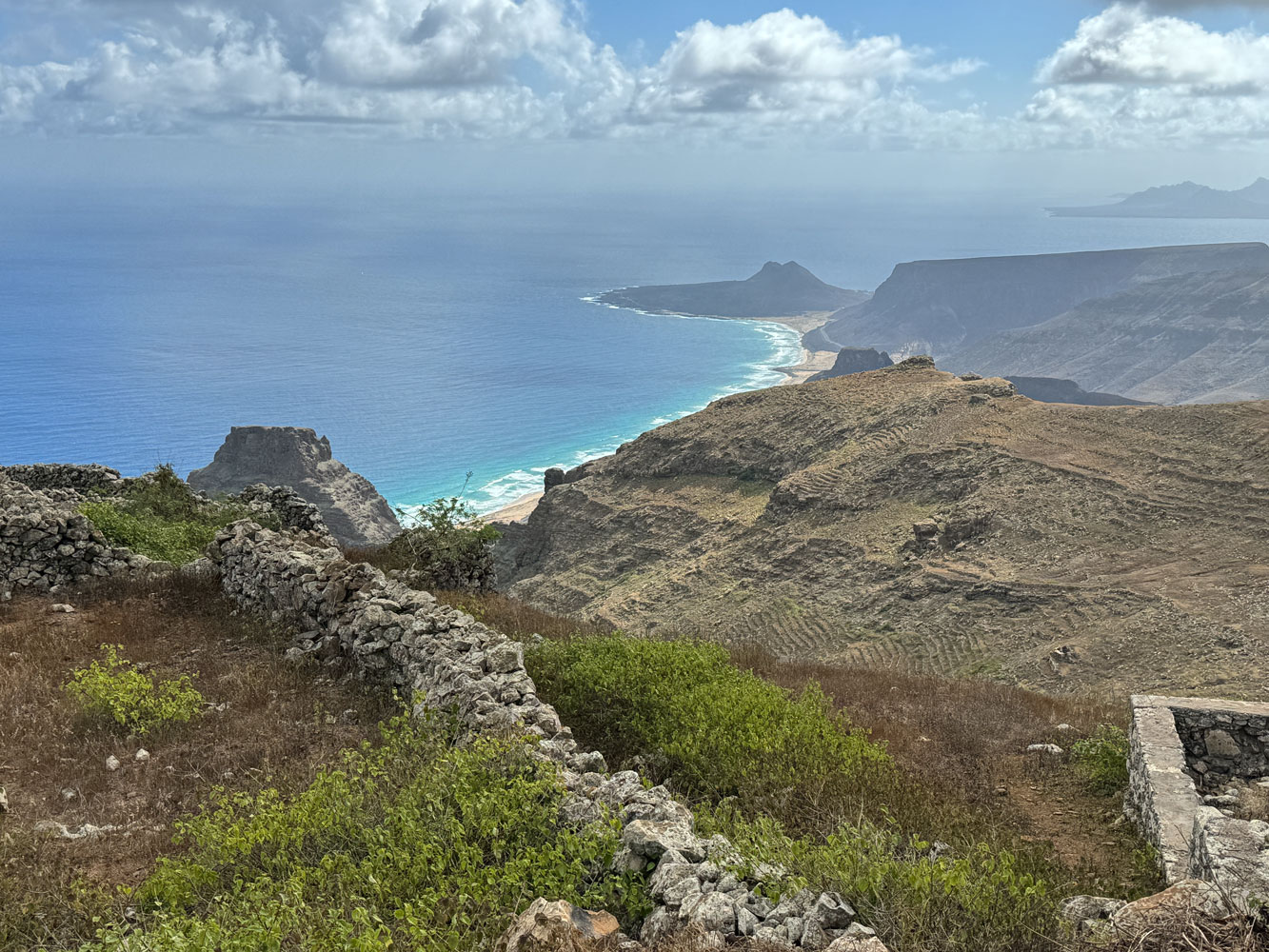
A view of the other side of the mountain. Looks like nice sandy beaches.
We descended the mountain and took the road to Baía das Gatas. This would translate (literally) to "Bay of Cats".
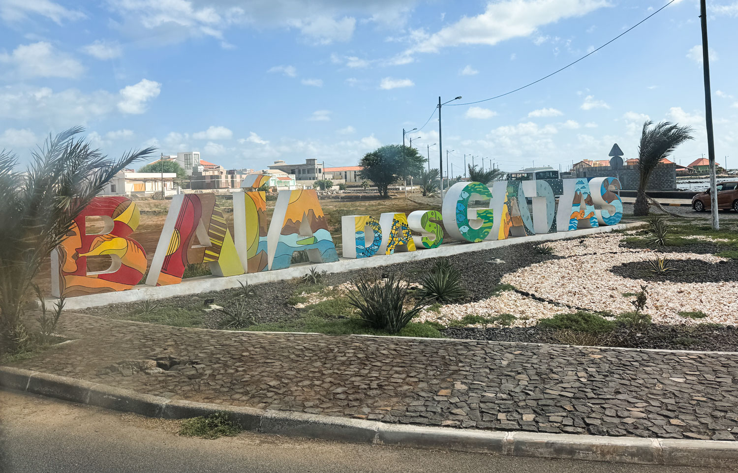
Baía des Gatas is a resort town, and has homes that are well kept and modern. As a beach town, it has vacation homes of wealthier people.

There's a nice sandy beach here, and the water is shallow for quite a distance from the shore. I saw people out in the water, perhaps 15 meters from shore, and they were standing in water up to their knees.
The swimming area here is protected on both sides by land. On one side by the coastline, and by an "arm" that sticks out into the bay on the other side.
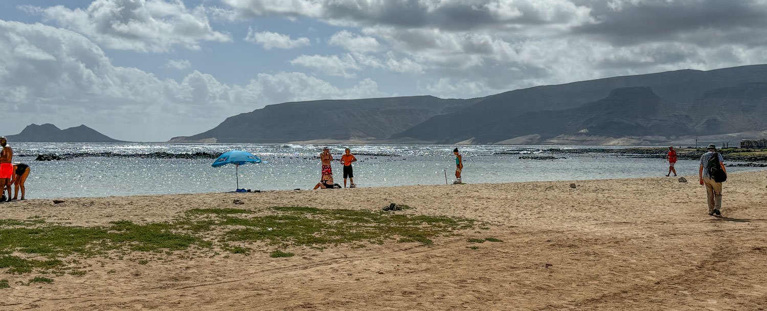
We didn't do anything at Baía des Gatas except look at the beach and the stunning colors of the water. We then took the road toward Calhau, stopping along the way to look at some sand dunes.

Calhau is known for its beach.
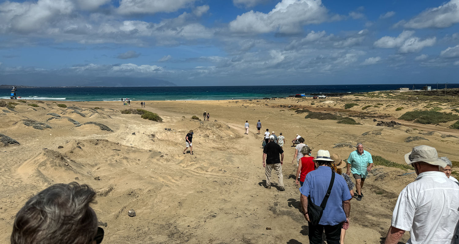
Leaving Calhau we took the road to Madeiral, to complete our loop of the island. Madeiral is a small farming village, and we stopped there for a few minutes to take pictures.
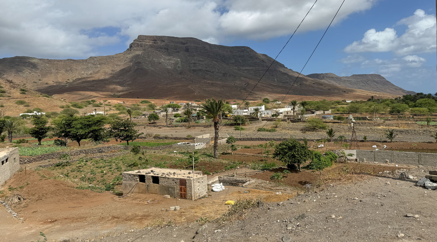
With that, we headed back to the ship. I don't know why São Vicente was chosen as a tour stop instead of Santiago, which is the main island for Cape Verde. There isn't that much of real interest on São Vicente, but it does have a good harbor.
In the afternoon, Judy participated in the shuffleboard game and we both participated in the golf putting contest. Later we played the trivia game and then had dinner with Richard and Eva.
+++++++++++++++++++++++++++++++++++++++++
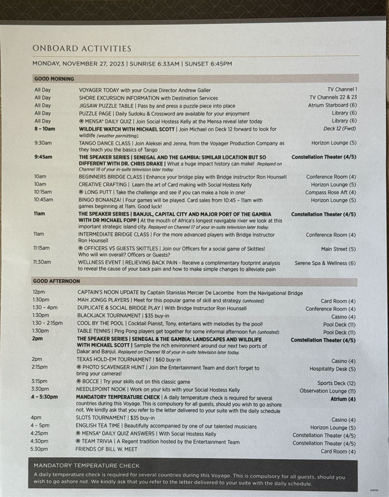
11/27/2023 (Monday) Today is another "sea day". A variety of activities are offered on a sea day. I'll try to document our day just to let you know what a typical sea day is like.
Here's the list of activities that the ship offers during the morning and afternoon.
Last night we set our clocks ahead one hour so we slept late (by the new time), and went to breakfast just as the restaurant was closing.
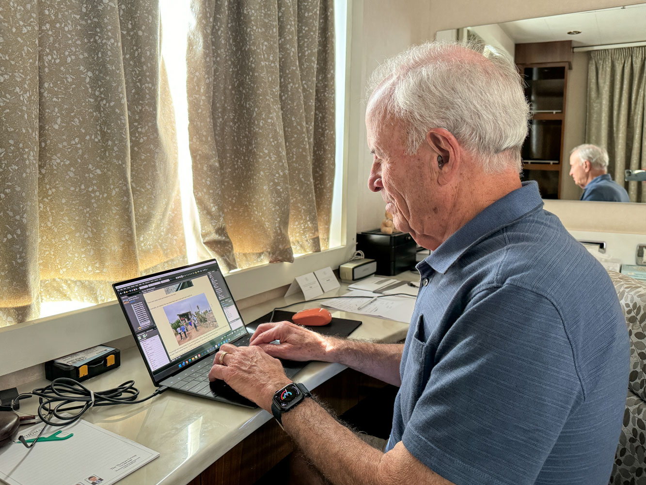
There was a shuffleboard contest in the morning but Judy didn't participate and I was working on the blog.
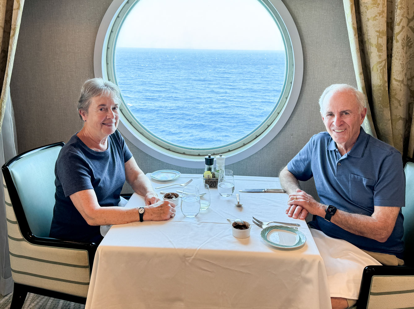
We had a light lunch about 1:30pm.
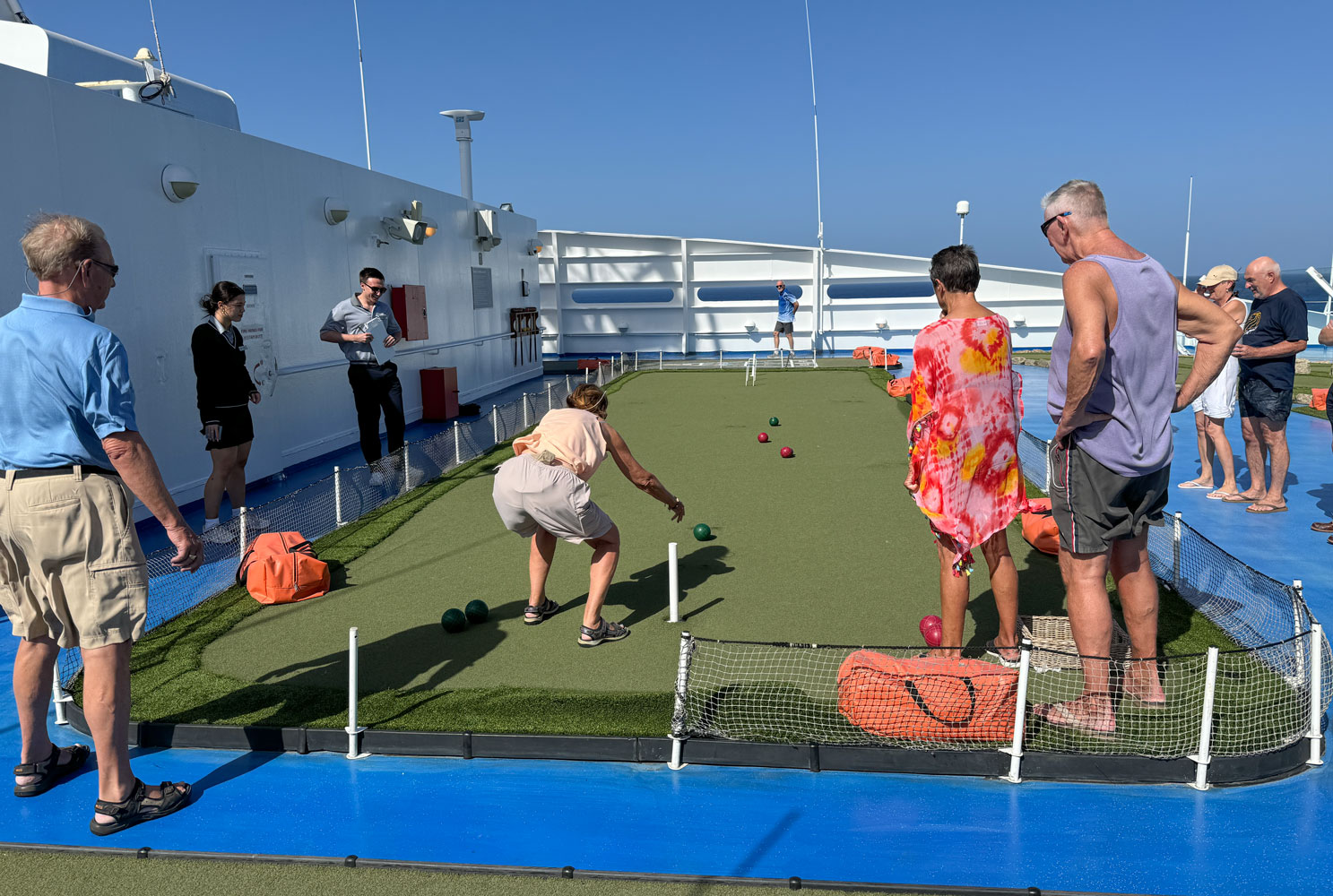
In the afternoon, we participated in one of the games, this time bocce. On other days, it might be bag toss or golf putting. Here was the bocce game on the top deck of the ship. It was extremely windy while we were playing. My Regent Seven Seas cap blew off and went over the side into the ocean.
I don't have a picture of the two of us playing because I couldn't take a picture while playing. We did well because Judy got her ball very close to the target ball. I had the last roll and just rolled it to the outside, because we were already in a winning position.
Shortly after the bocce game, we had to have our temperature taken. Certain countries require that the ship monitor the passenger's temperature as a possible sign of illness, even if passengers stay on board the ship while in port. This has been going on for several days and Judy and I are consistently about 36.2°C (37°C is 98.6°F). 38°C or higher is a problem (that's 100.4°F).
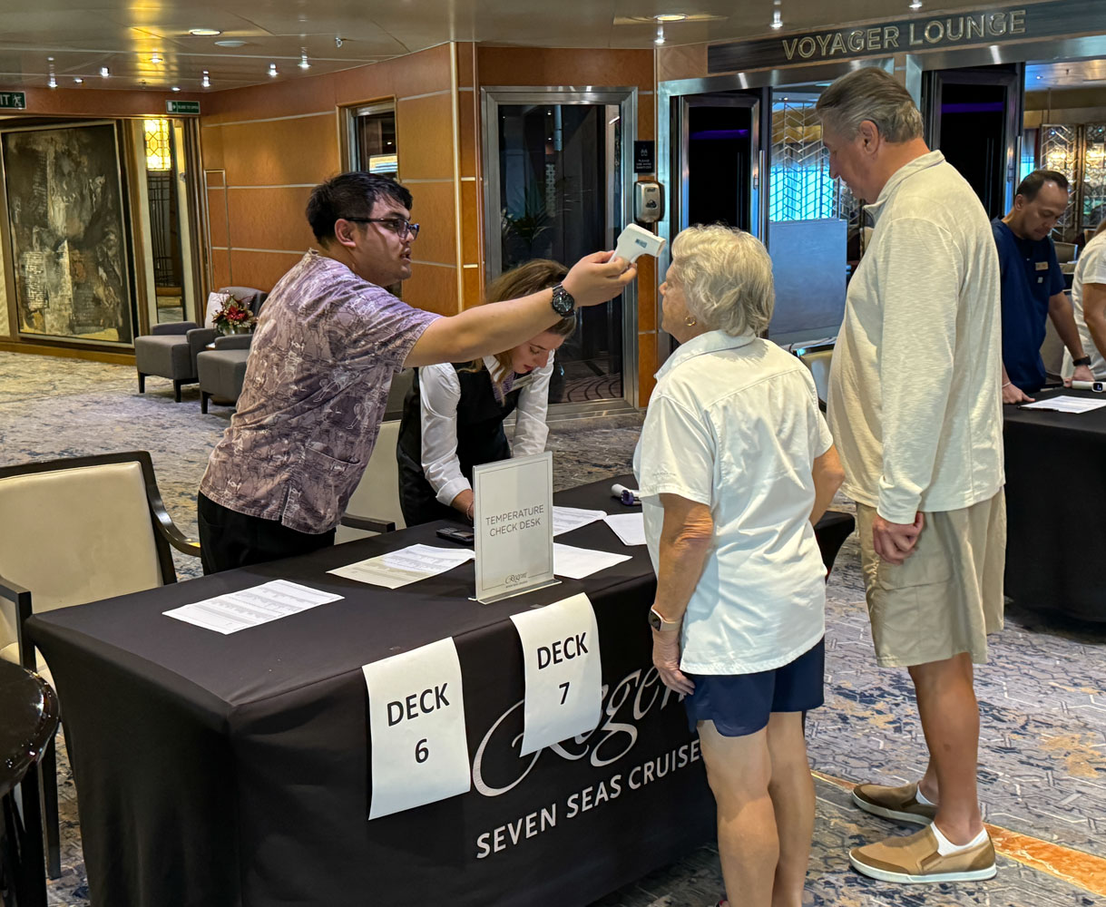
Immediately after the temperature check, we went to the Constellation Theatre to play Trivia. We had five people in our group, and we didn't do very well in this session.
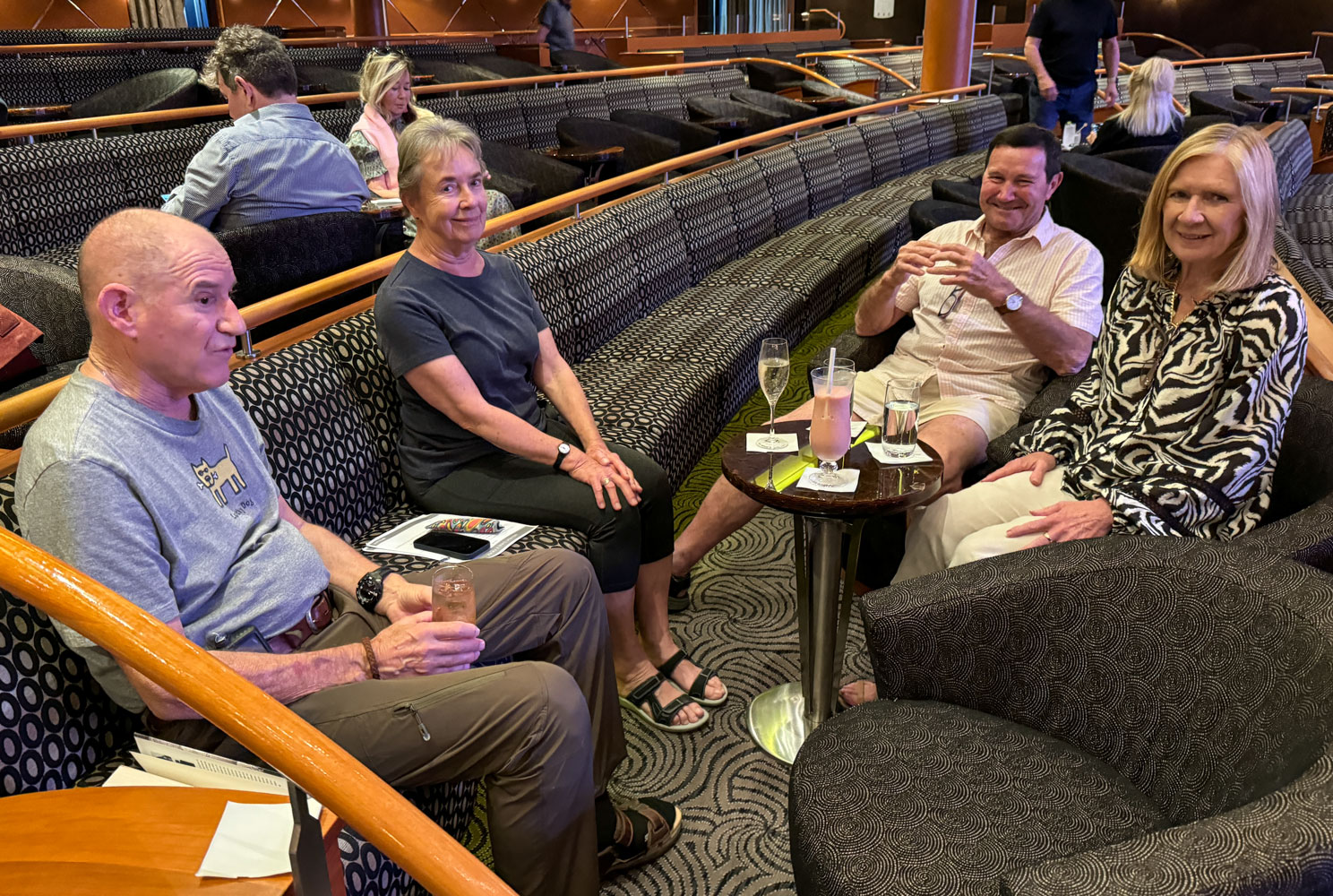
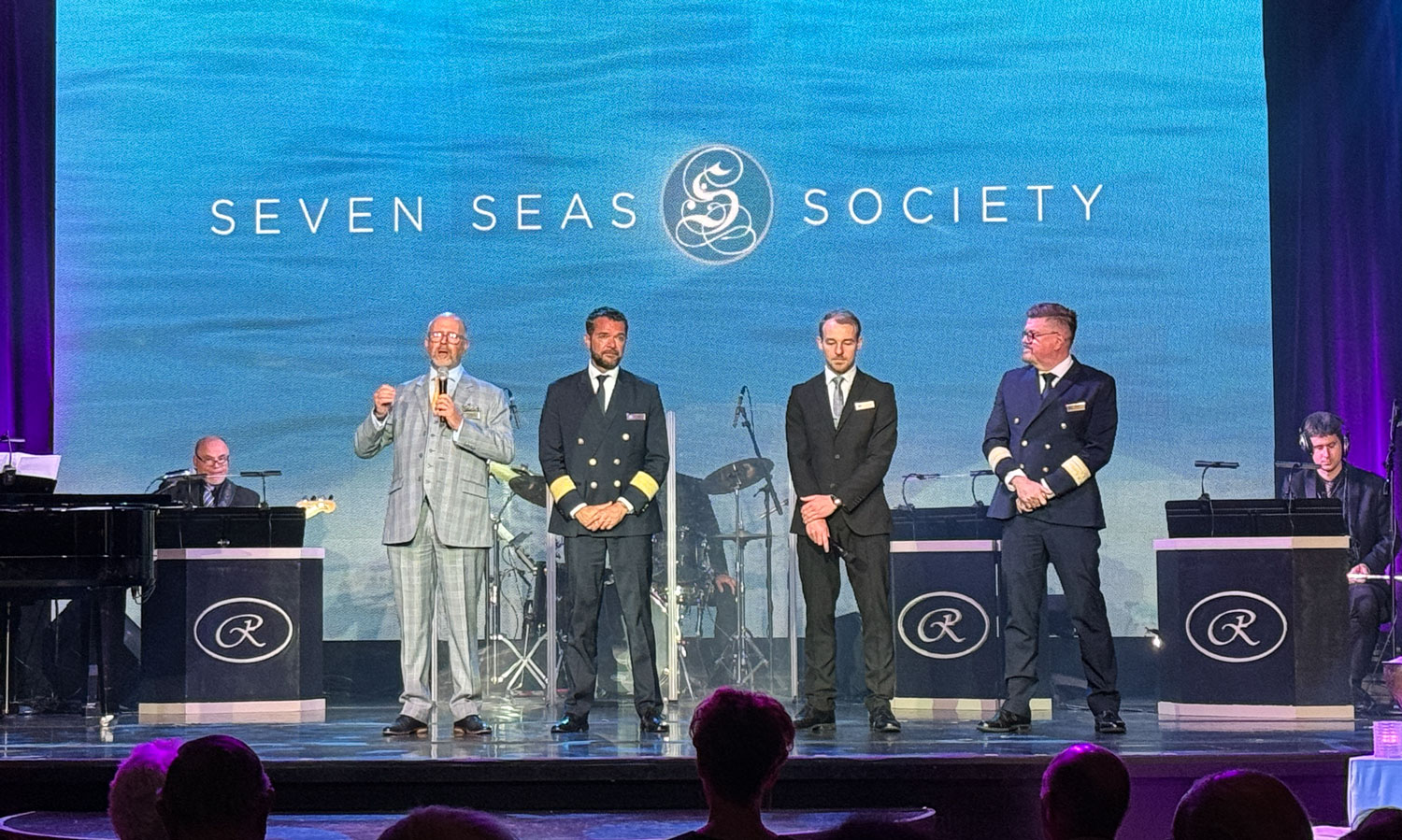
At 6pm, we attended the Seven Seas Society reception. This group consists of people who have taken more than one cruise with Regent. It's a way for Regent to thank their repeat customers and to encourage them to book another cruise.
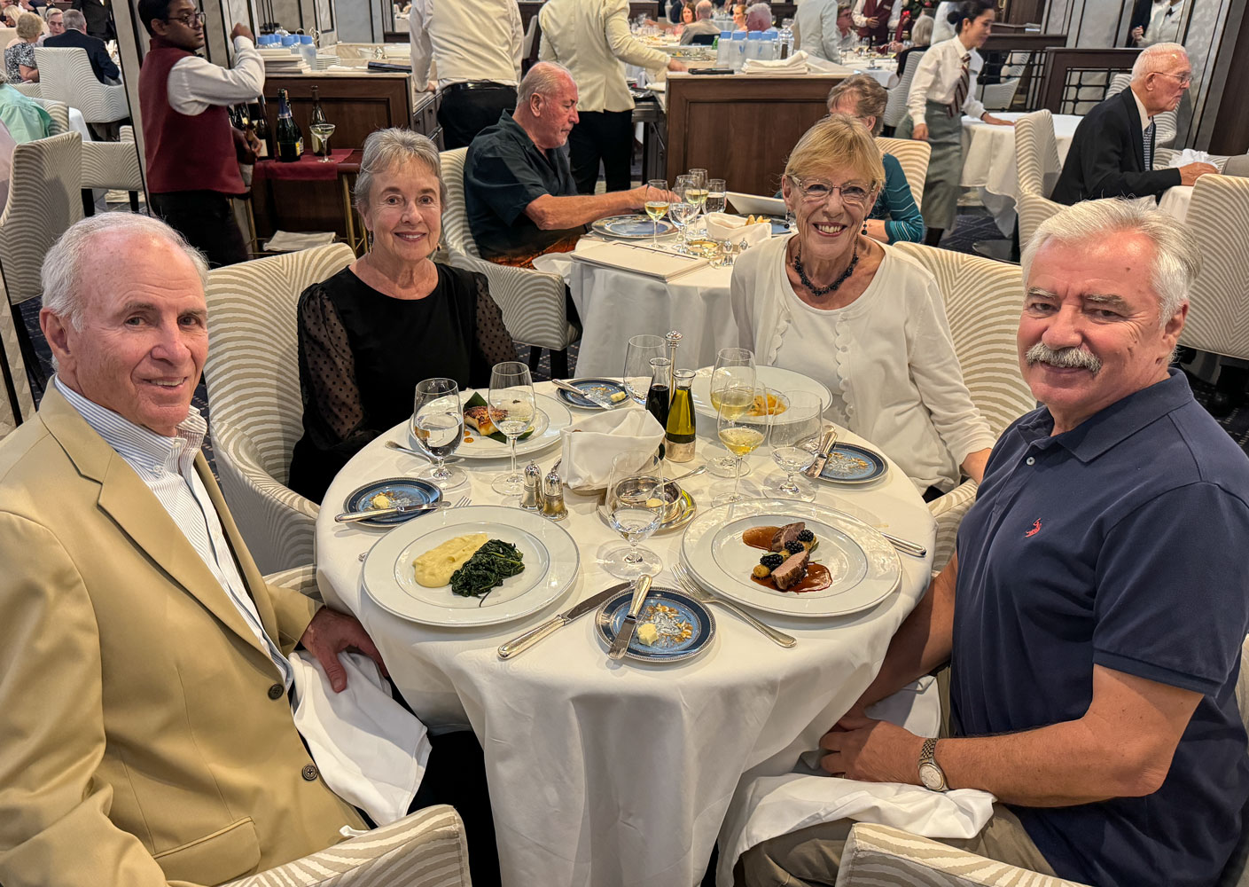
We went directly from the reception to the Compass Rose for dinner with Richard and Eva.
That was our day. Tomorrow we arrive in Dakar, Senegal.
+++++++++++++++++++++++++++++++++++++++++
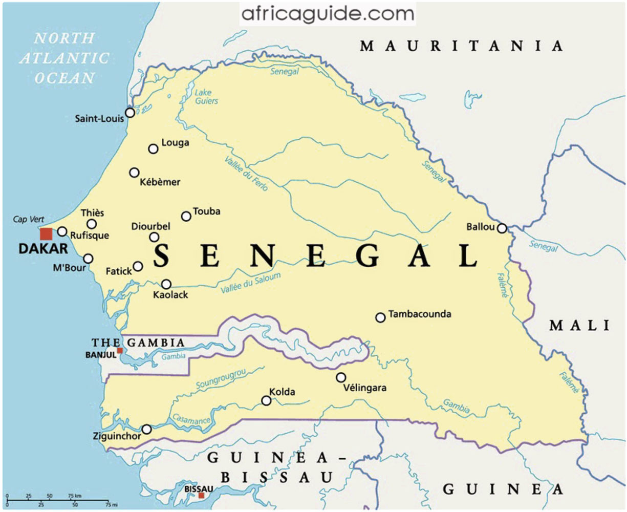
11/28/2023 (Tuesday) We dock at Dakar, Senegal this morning, our first stop on the mainland of Africa. Senegal is a fairly poor country and is beset by corruption and the lack of an independent legal system (these are problems in many African countries). The official language is French. While officially a secular country, most of the population (97%) is Muslim. Most are Sunni Muslims.
An interesting fact about Senegal is that they are a major producer of peanuts, also known as "groundnuts". They are primarily grown north of The Gambia (trivia fact: the only other country with "The" in their name is The Bahamas). Peanuts evolved in South America, probably in northwestern Argentina, and were brought to Senegal, likely by slave ships returning from that area and Brazil.
In the north, Senegal is essentially desert. Below The Gambia, it is tropical and wet. The area below The Gambia is known as the Casamance region and is a major agricultural area. Just for interest, here's a climate map of Africa.

Dakar was established by the Portuguese in the 15th Century and was used as a way-station for ships sailing to and from India. The island of Gorée off Dakar became a base for the Atlantic Slave Trade, which was not abolished until the 19th century. While initially Portuguese, Gorée was taken over by the French in 1677. Another major port for the slave trade in Senegal was Saint-Louis, north of Dakar.
A side note is that European slave traders generally did not participate in the capture of people to be enslaved because the Europeans were very susceptible to malaria, yellow fever, heat exhaustion, and many gastro-entero sicknesses, and didn't live long in that climate. Quinine was eventually found to treat malaria but was not generally available until after 1820, although the bark of the Cinchona tree was used prior to that date. The indigenous people had some resistance to malaria - one such trait is sickle cell. Cholora originated in India and was not a problem in Africa during this time.
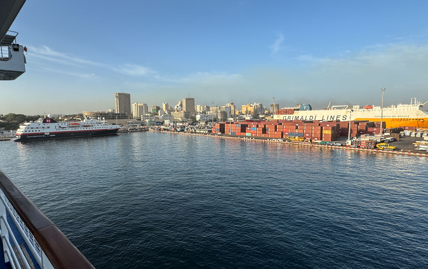
The port of Dakar is large and modern.
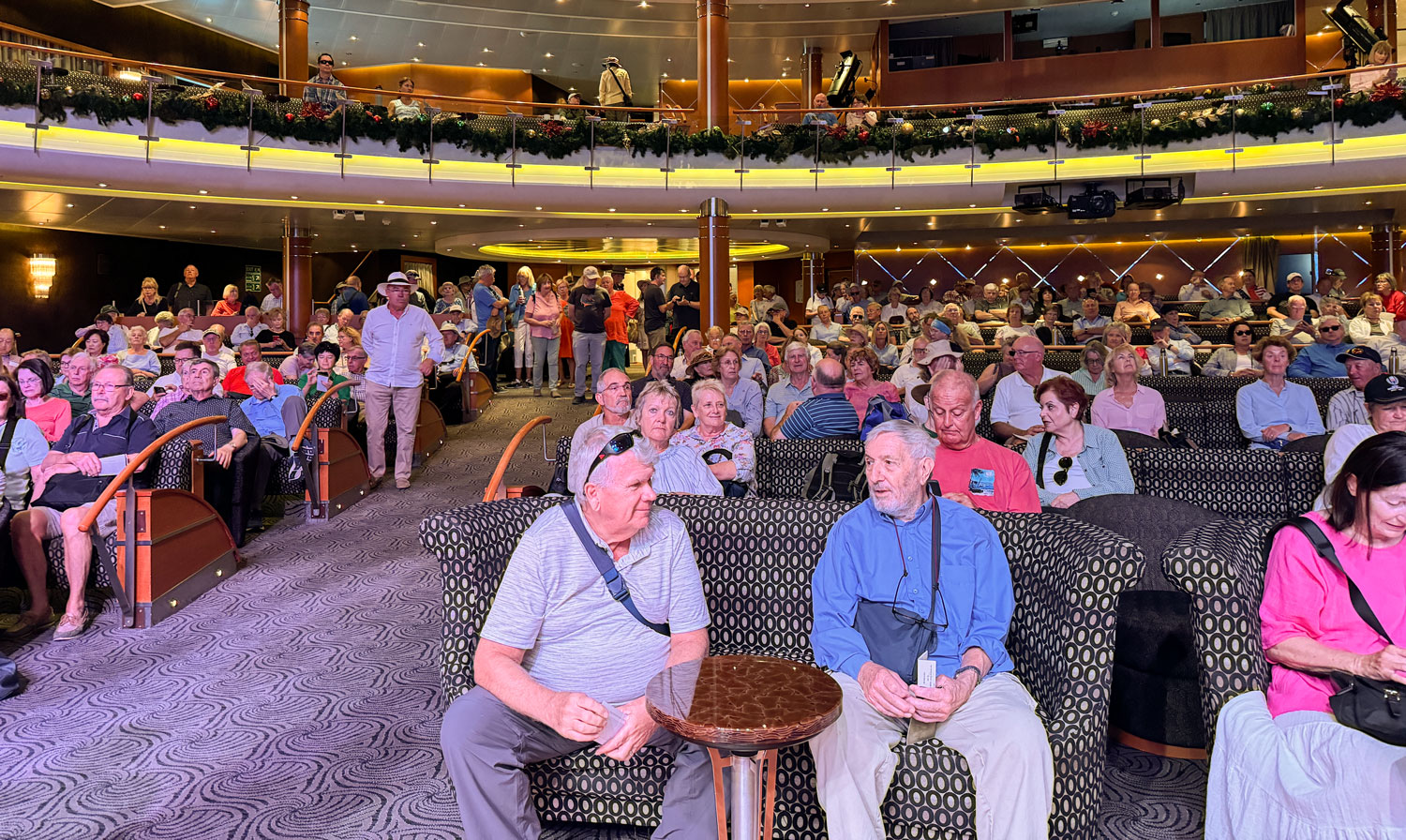
We were scheduled to be in the Constellation Theater at 8:45am to exchange our tickets for bus boarding passes. However, when we got there, we found the theater filled with guests. There were problems with the buses, and we went into wait mode.
Finally, about 10:30am we were able to board the bus.
I want to apologize in advance for the poor quality of the photographs. Many were taken through the window of the bus, which was not clean, and often had reflections in it.
Our bus was modern, with a slight twist. It had three seats per row on the port side, and two seats per row on the starboard side. We were a bit late in getting on, and most people had taken the two seats, so we had a three-seat row. But there were only a few more people who got on, so we had the empty seat between us to put our things on.
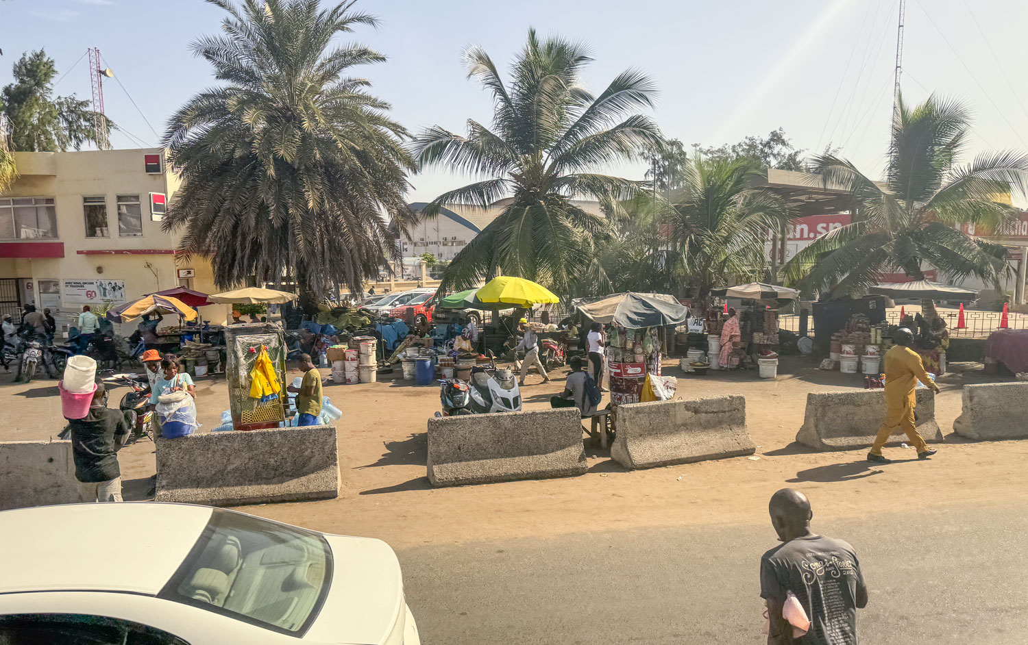
The city of Dakar is poor, but not a slum. There are a lot of open dirt areas that make the air dusty. We saw cars that had obviously been parked for a few days, and they had a layer of dust on them. Here's a view of a shopping area that we passed. Lots of vendors with small stands. Note that the area is just dirt.
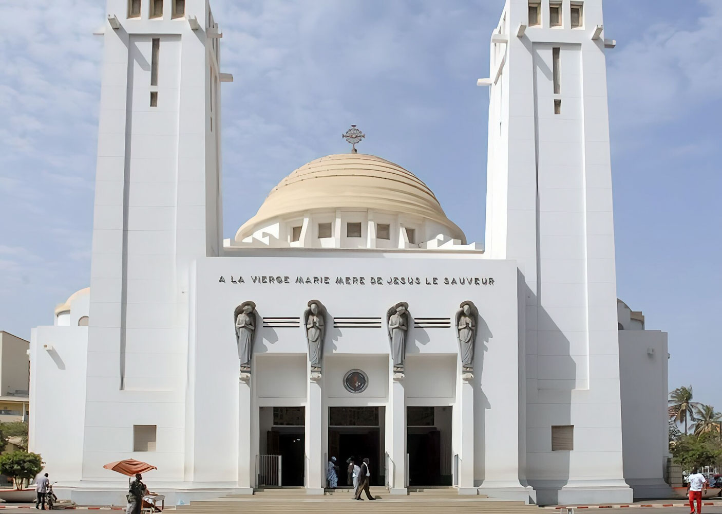
The first stop on this excursion was the Our Lady of Victories Catholic Cathedral (Notre Dame des Victoires). The sun was behind the church when we were there, so my picture was not very good. I took this picture from the web.
As you can see in the picture, the French words on the church are "A la Vierge Marie de Jesus le Sauveur" translates to "To the Virgin Mary of Jesus the Savior".
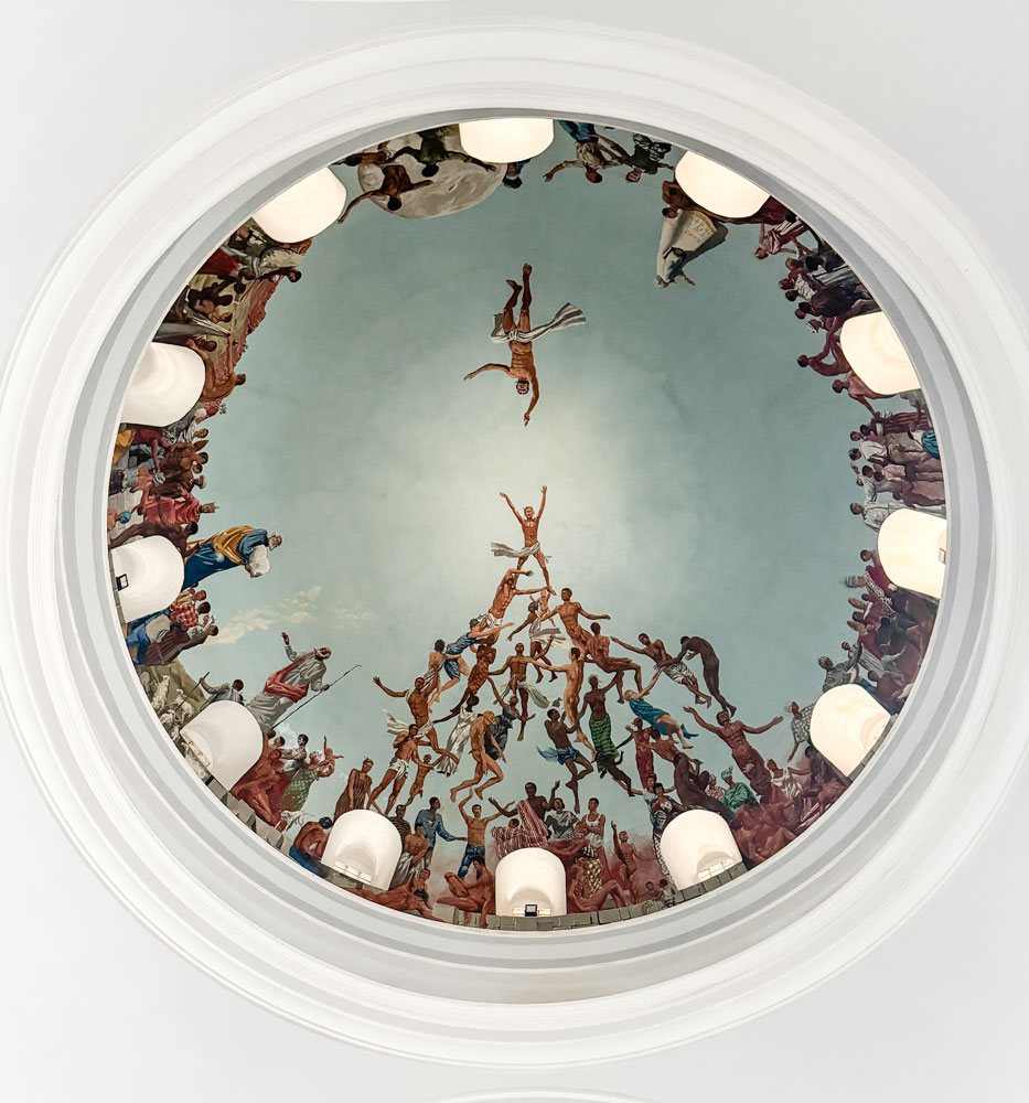
A view up towards the interior of the dome.
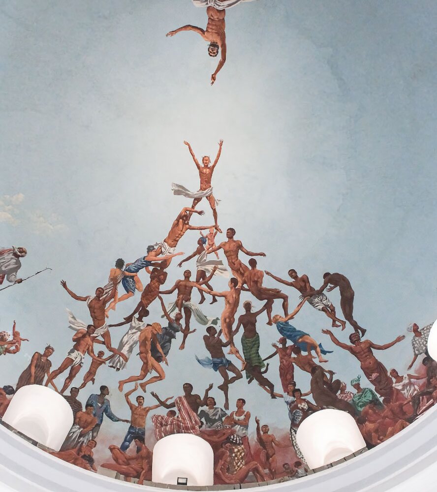
A closer view of the painting.
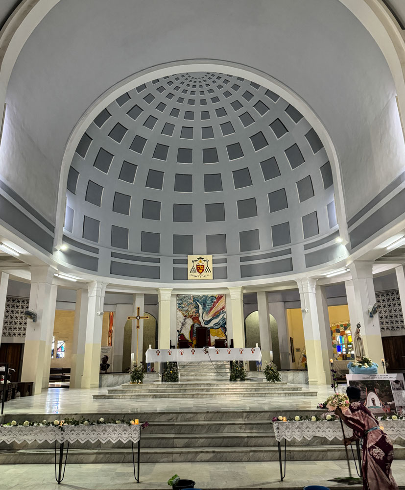
The altar area.
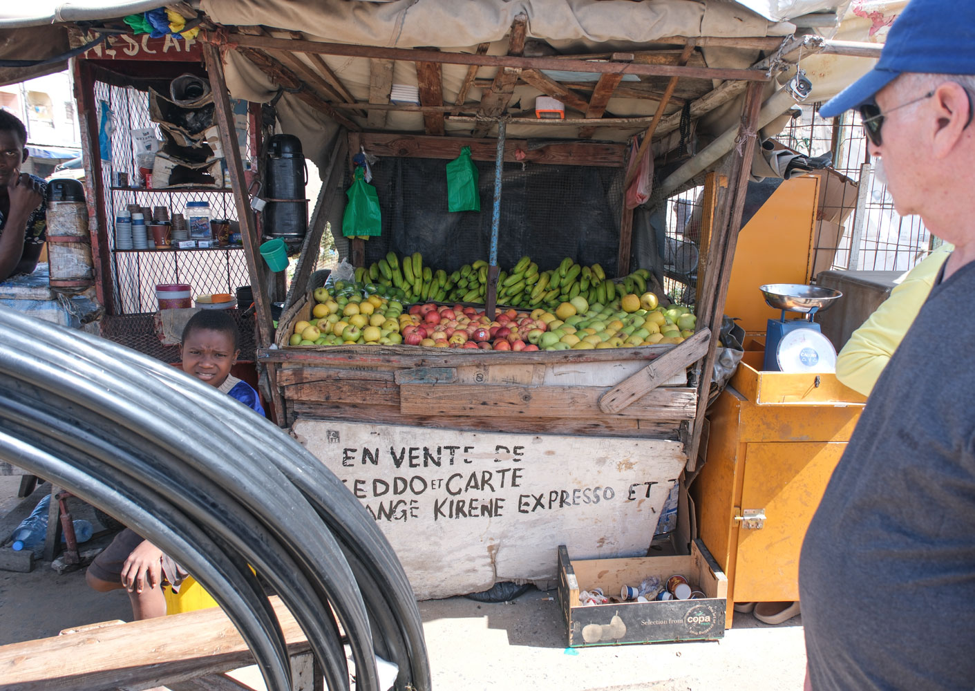
From here, we went to a handicraft market. But across the street were more of those small stands, and I took a picture of one to show you what they look like.
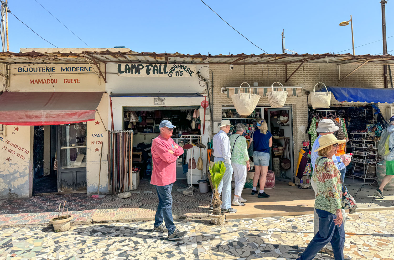
Here are a few of the shops in the handicraft area.
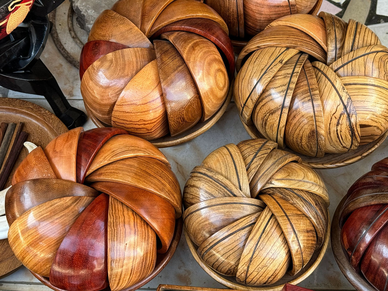
Judy took this picture of some turned wooden bowls. The smaller bowls were nestled in a larger wooden bowl. I really liked the display, but we just didn't need more things like this, and it would take space in our luggage.
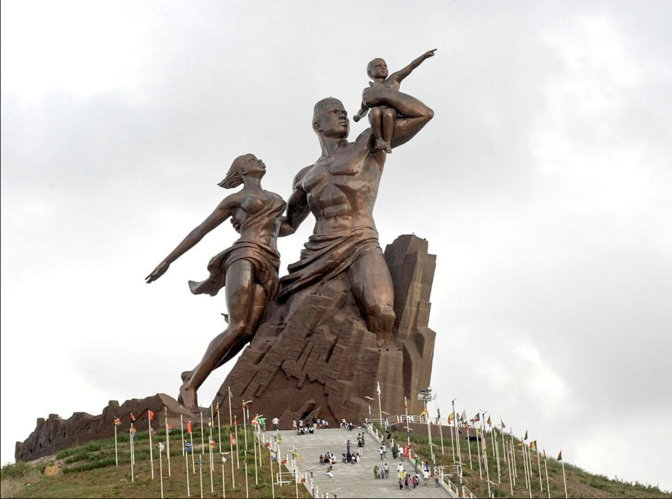
We then drove to the African Renaissance Monument. The light was against us, so my picture is not very good.

The statue is built on top of a 100 meter hill (about 300 feet) so there are a lot of steps to get to the base of it. Here's a better picture of the statue, itself, taken from the web. It's a massive statue that generated a lot of criticism, especially because of the poverty of Senegal.
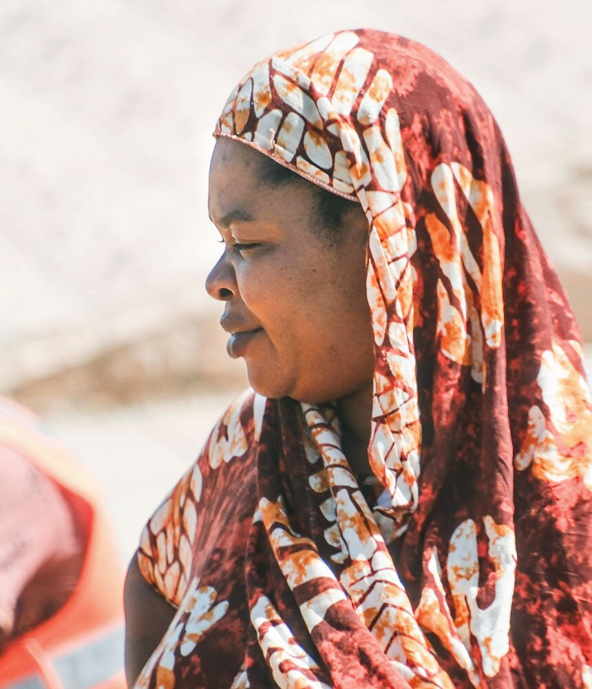
Off subject, here's a portrait of a Senegalese woman. Light was wrong and it was taken through the bus window, but I'm always looking for portraits of local people.
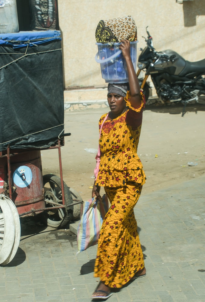
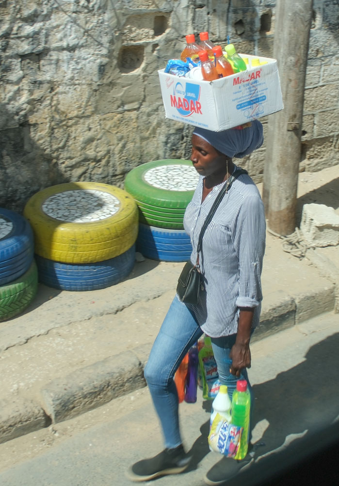
A couple of women carrying a load on her head, one in a vividly-colored dress . We saw a number of women carrying a head load, many without balancing it with their hand.
We made our way to see a group of women perform a dance for us. The location was down a narrow street, which became a real challenge for the bus.
You can see the band behind the dancers. The guy in the foreground, in the red robe, was collecting for the group.
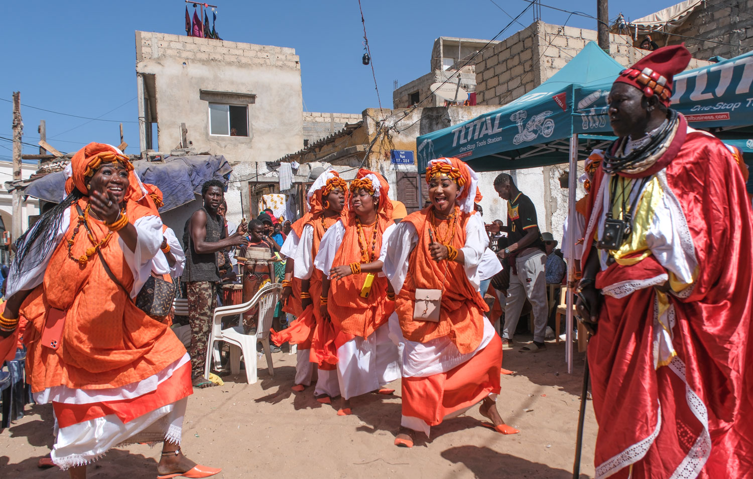
Some close-up shots of the dancers.

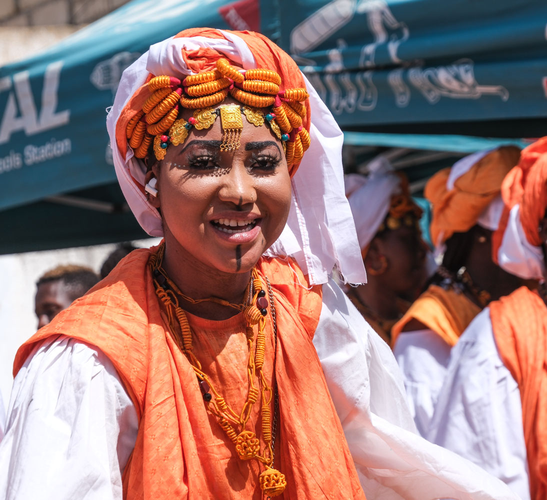

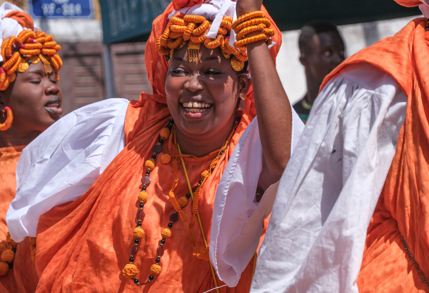
After the performance, some of the kids were mugging for me.

Then we returned to the ship. That evening we had a "barbeque" on the pool deck, served buffet style.
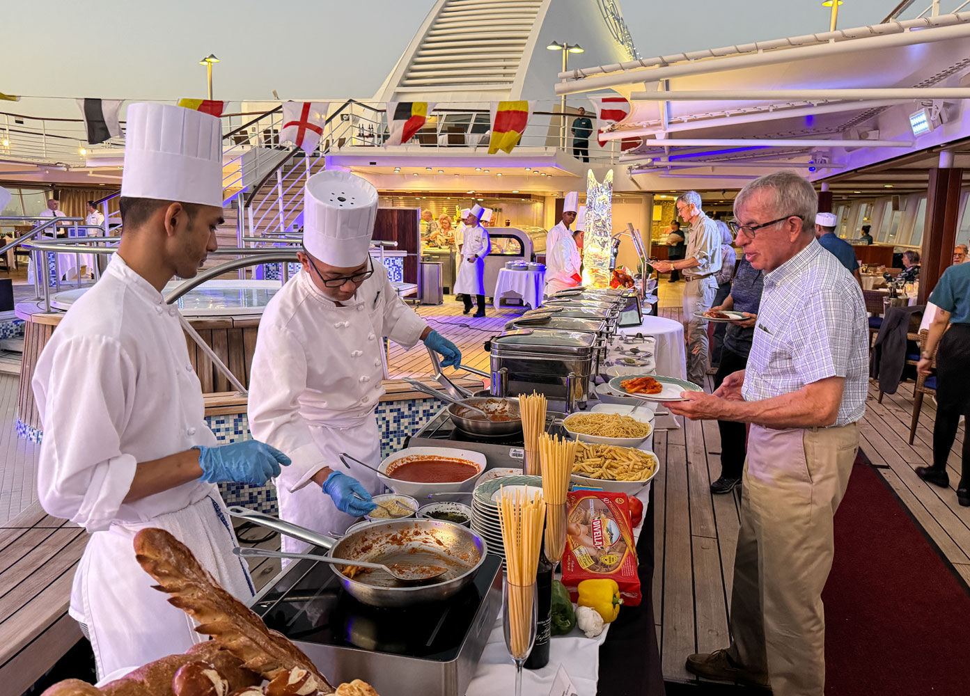
We shared a table with Richard and Eva.
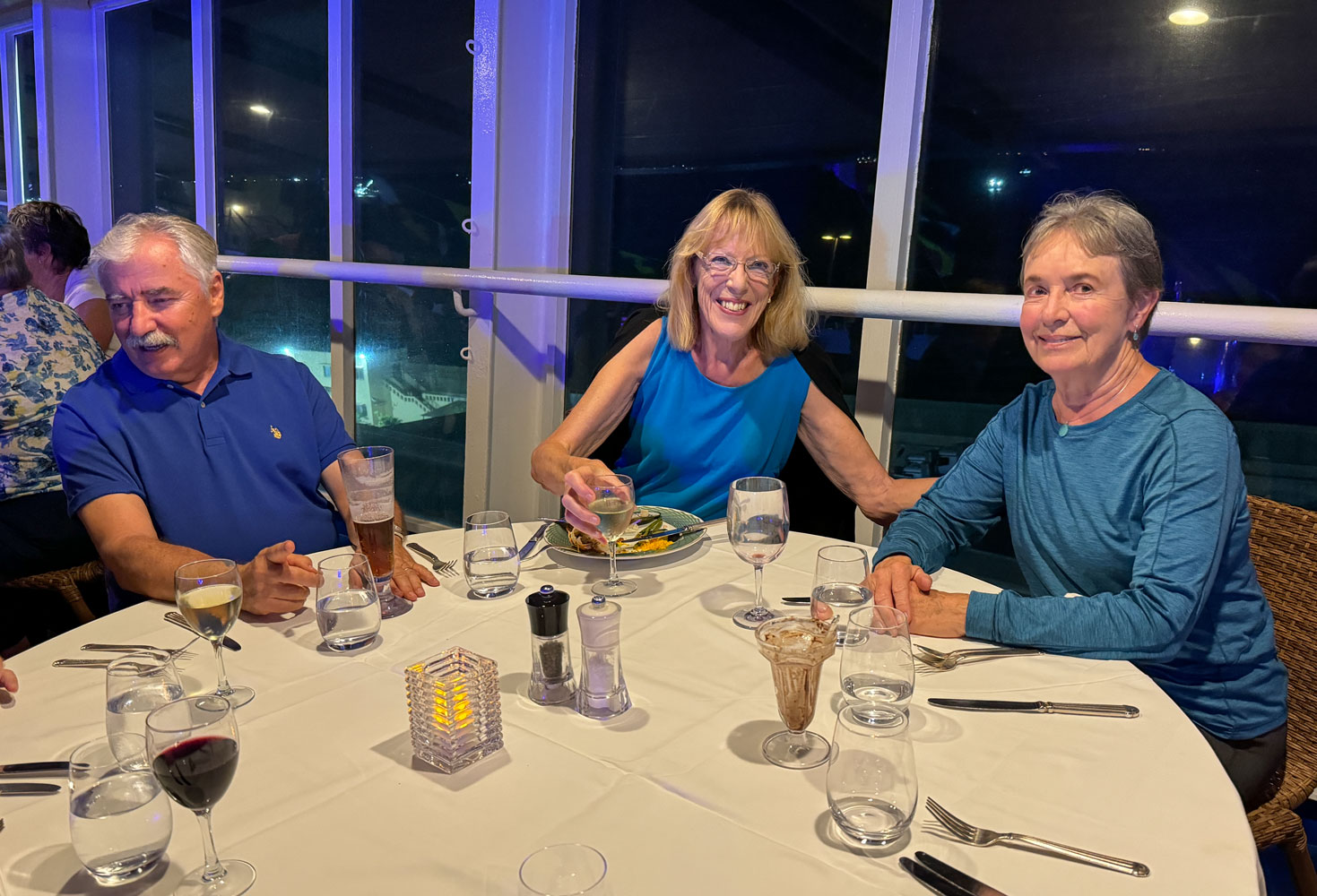
Toward the end of the evening I went up on the 12th deck to take a picture of the party. They had blue lights on the pool deck, making everyone look blue. It was very festive, with music and dancing.
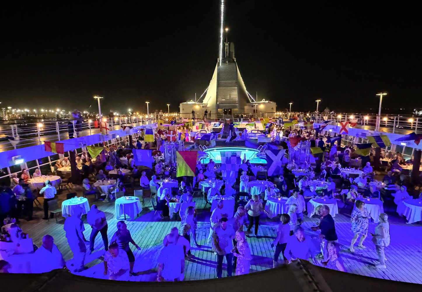
That was the end of our day. This evening we sail to Banjul in The Gambia.
+++++++++++++++++++++++++++++++++++++++++
11/29/2023 (Wednesday) Banjul is only about 150 miles from Dakar so it didn't take a lot of time to sail there.
The Gambia is the smallest country in Africa. It is completely surrounded by Senegal, except for a small area that borders the Atlantic Ocean. It's between 25 to 50km on either side of the Gambia River and extends inland as far as the Gambia River is navigable, several hundred miles.
Gambia was sold to the British by the Portuguese in 1588 and they maintained possession of it until 1965. For more information on the history of The Gambia, see here.
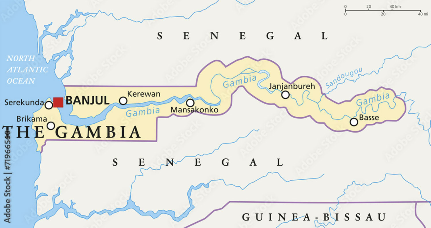
Here's a map of the Atlantic area of The Gambia, which shows the city of Banjul, the mouth of the Gambia river, with the city of Barra across the river from Banjul, and Serrekunda, the largest city in The Gambia. Note that Banjul is actually on an island.
A side note on the slave trade from West Africa. Africans along the coast of West Africa from Senegal to Angola were the main participants in the slave trade. The primary European nations involved in the slave trade were (in approximate order by number of slaves transported) Portugal, Britain, Spain, France, the Netherlands, and the United States.
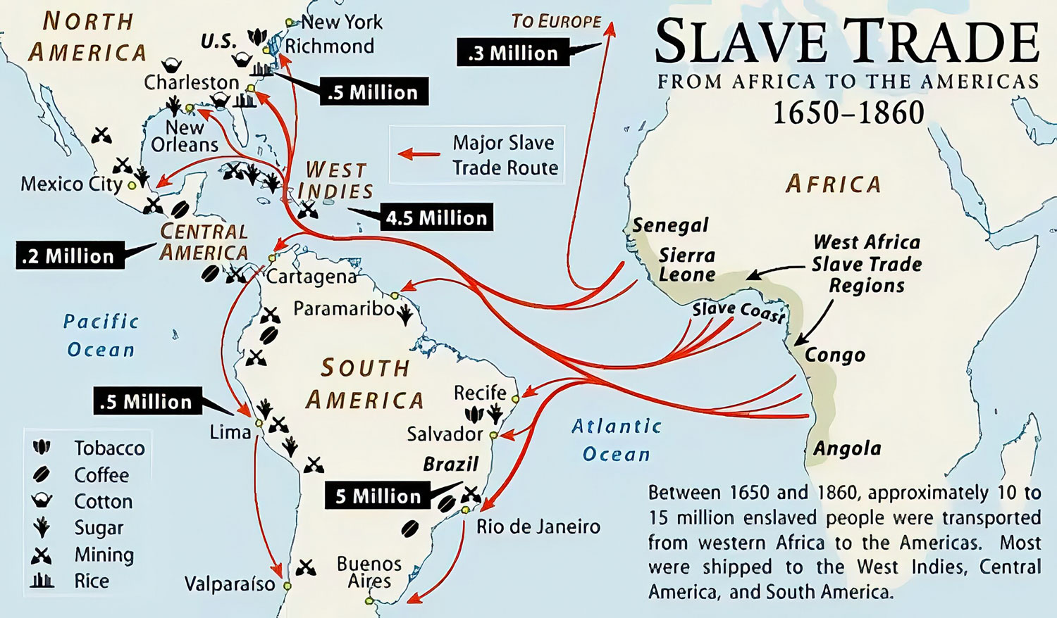
Here's another map of the slave trade that attempts to show the volume of slaves sent to different parts of the Americas. Most went to South America and the Caribbean, and most were from the southern part of Africa, what is now the Congo and Angola.
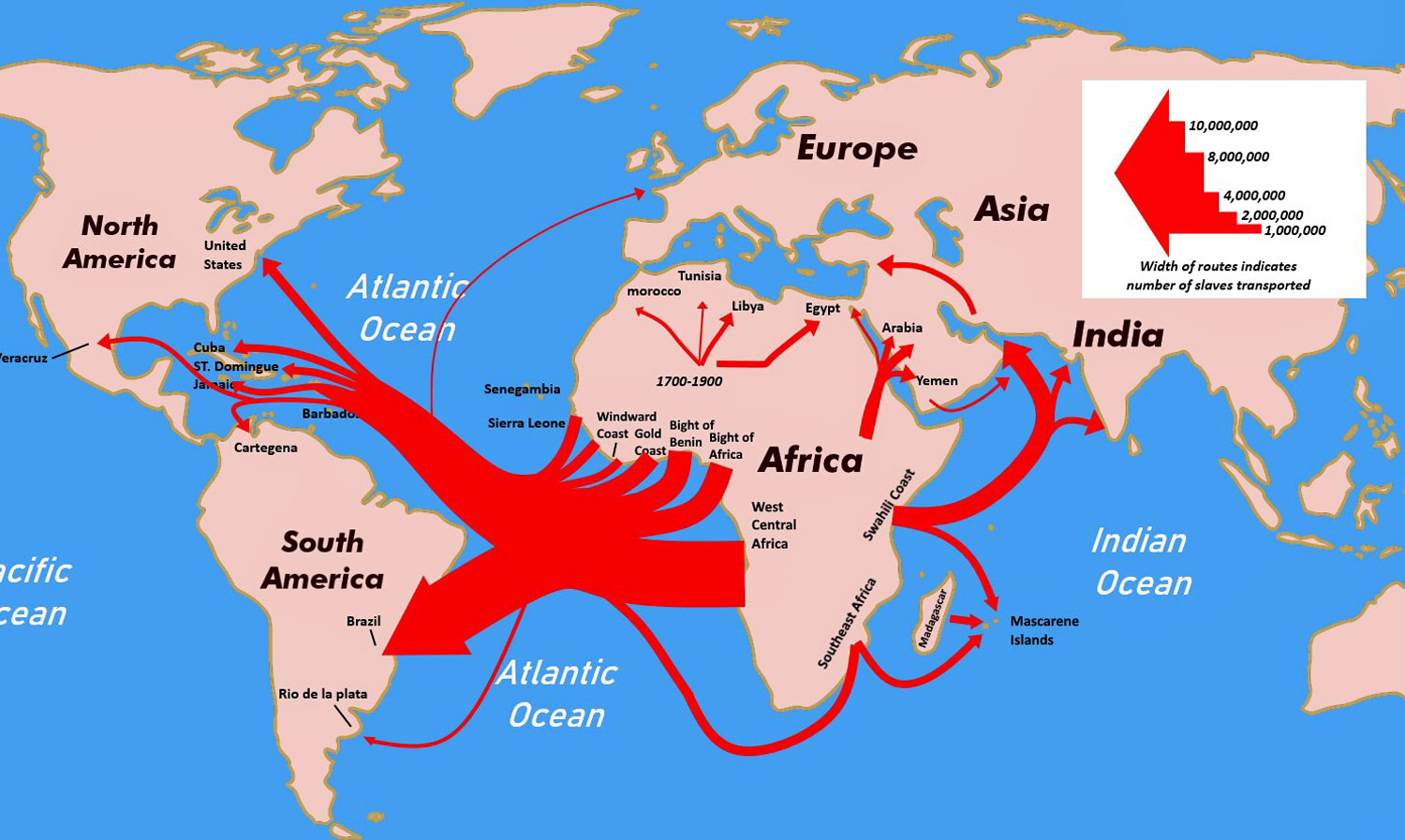
Britain attempted to outlaw slavery in 1807 and since The Gambia was under British control, they had more success in limiting the slave trade from The Gambia than from other countries.
One thing we didn't see in either Dakar or Banjul is homelessness - people sleeping on the street. In doing research on the subject, I found reports of homelessness in Dakar and Banjul but not in numbers like some other countries in Africa. The African countries with the greatest number of homeless people are (in descending order): Nigeria, Egypt, DRCongo, Somalia, Sudan, Ethiopia, South Sudan, Cameroon, Mozambique, and Burkina Faso.
I saw many buildings under construction. They are built simply with concrete and concrete blocks. For the very small, simple buildings, I don't know if they include a full set of utilities.
But enough history. We have an excursion in Banjul today. We gathered in the Constellation Theater in the morning and after a short wait, we were able to board a bus.
While Dakar is poor, Banjul gives the impression of being very poor. Maintenance on most building is lacking and there are large piles of trash on the roads and open lots.
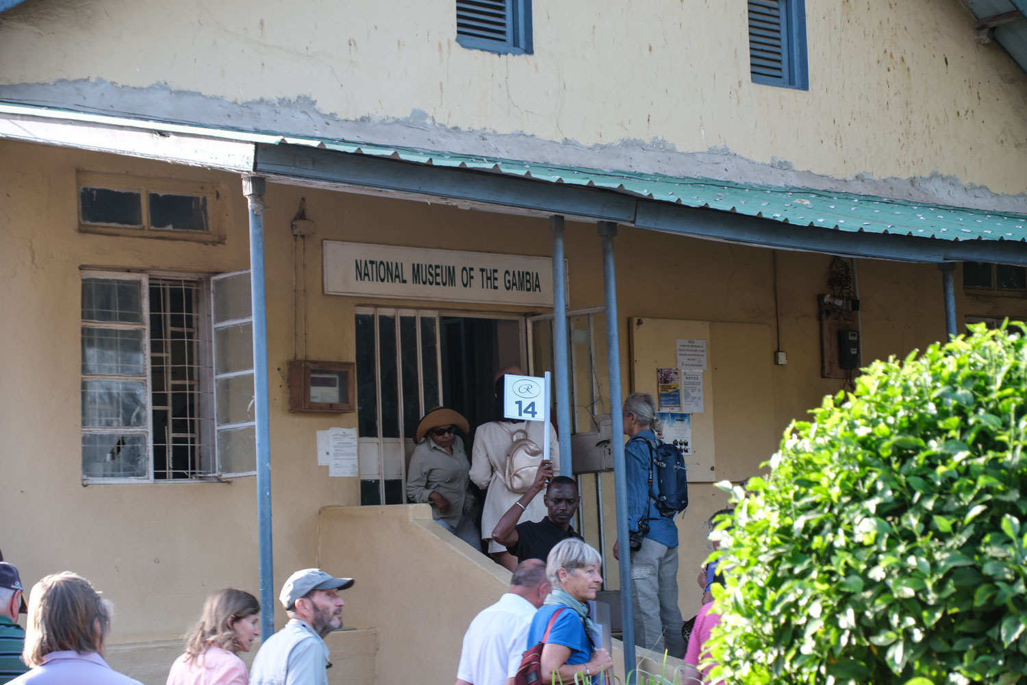
The first place we visited was the National Museum of The Gambia. It was about the size of a home in the US and was extremely primitive. That's it in the next picture.
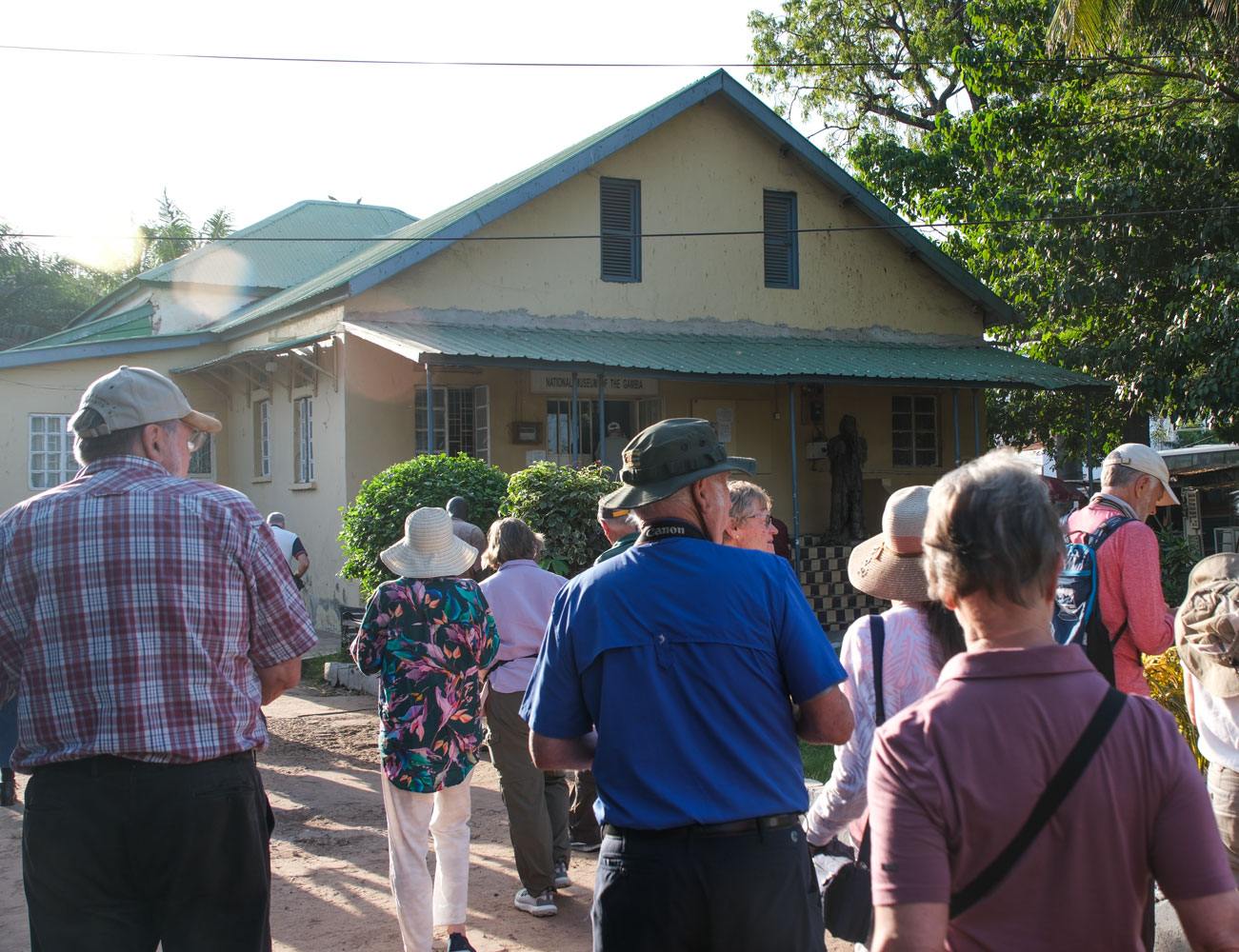
A view of the entrance. Definitely not climate controlled.
And one view of the interior.

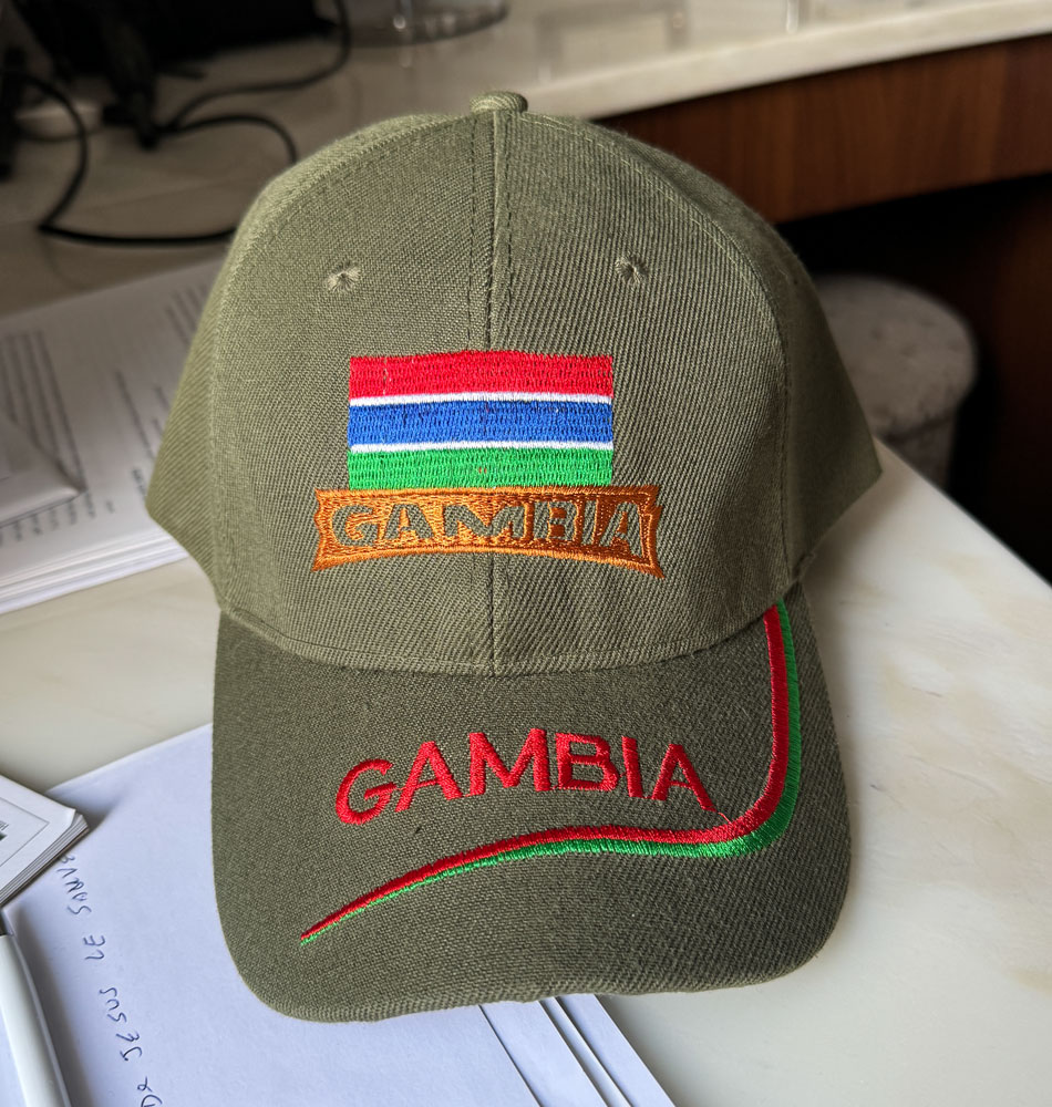
You may remember that my Regent Seven Seas hat blew off a few days ago while we were on the upper deck, and it went into the ocean. I have another hat, but wanted a backup, so when this guy showed up by the bus, I bought a Gambia hat from him.

He was enterprising. At several of the next stops, there he was. I suppose he knew where the buses always go.
Here's the hat I bought from him. It didn't have a label with the origin, but I suppose it was China.
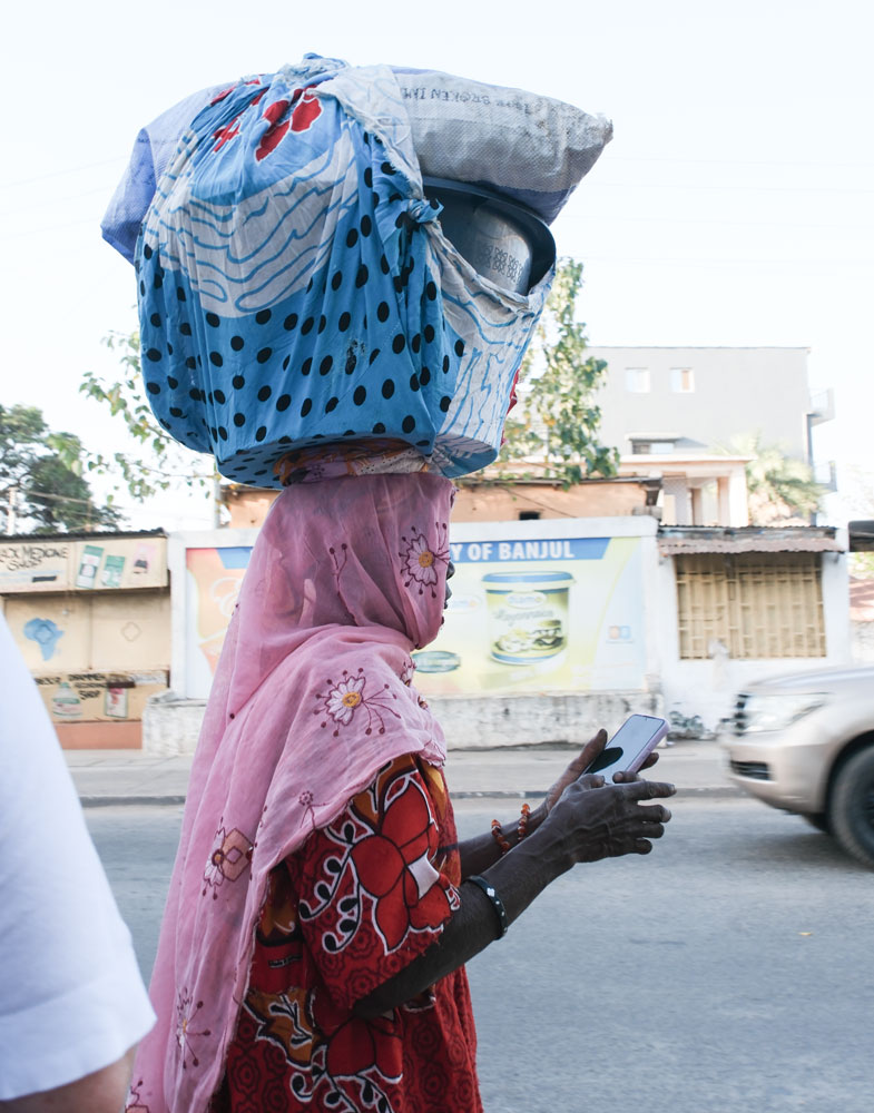
As we were leaving the museum, I took this picture of a woman balancing a load on her head, as she used her smartphone. It looks like they use a cloth ring on their head to help provide a flat surface for the head load.
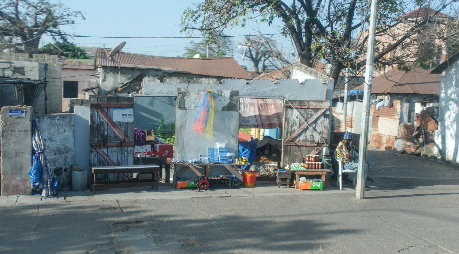
Some shops along the road as we were traveling along.
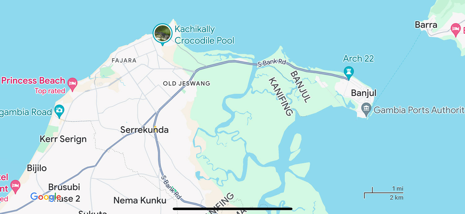
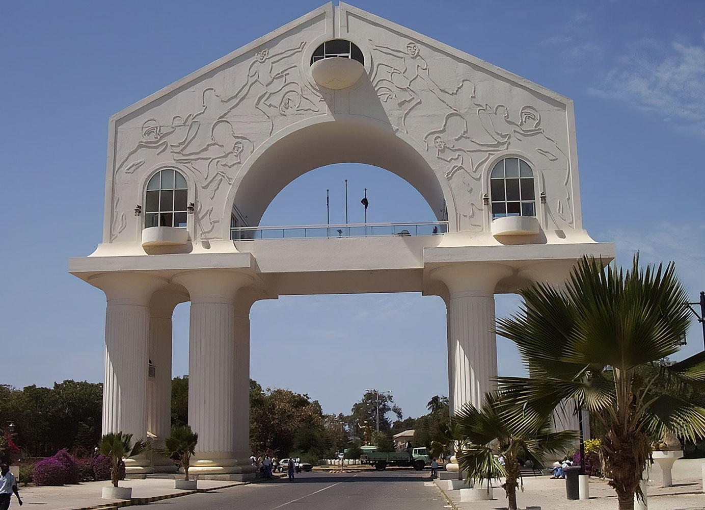
Eventually we came to Arch 22, a monument commemorating the coup d'état of 1996. I'll have a picture that I took later, but the sun was behind it and made the side facing us dark - so here's a picture from the web.
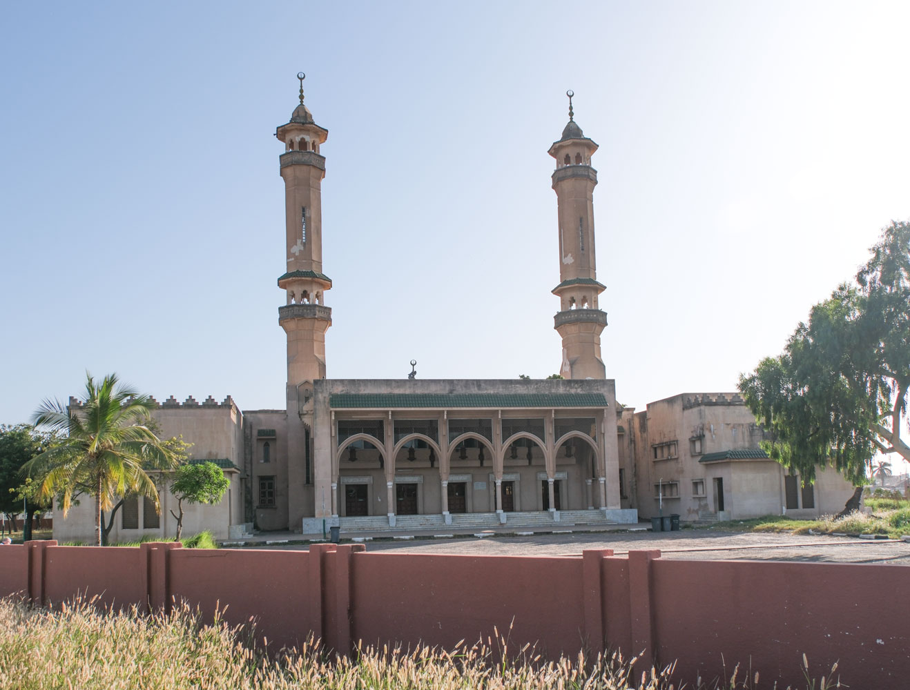
We drove to the King Fahad Mosque, a gift to the people of Gambia from the Kingdom of Saudi Arabia. I have never seen a major mosque in such poor condition. There were weeds growing on the dirt grounds, and the structure of the mosque showed signs of lack of maintenance.
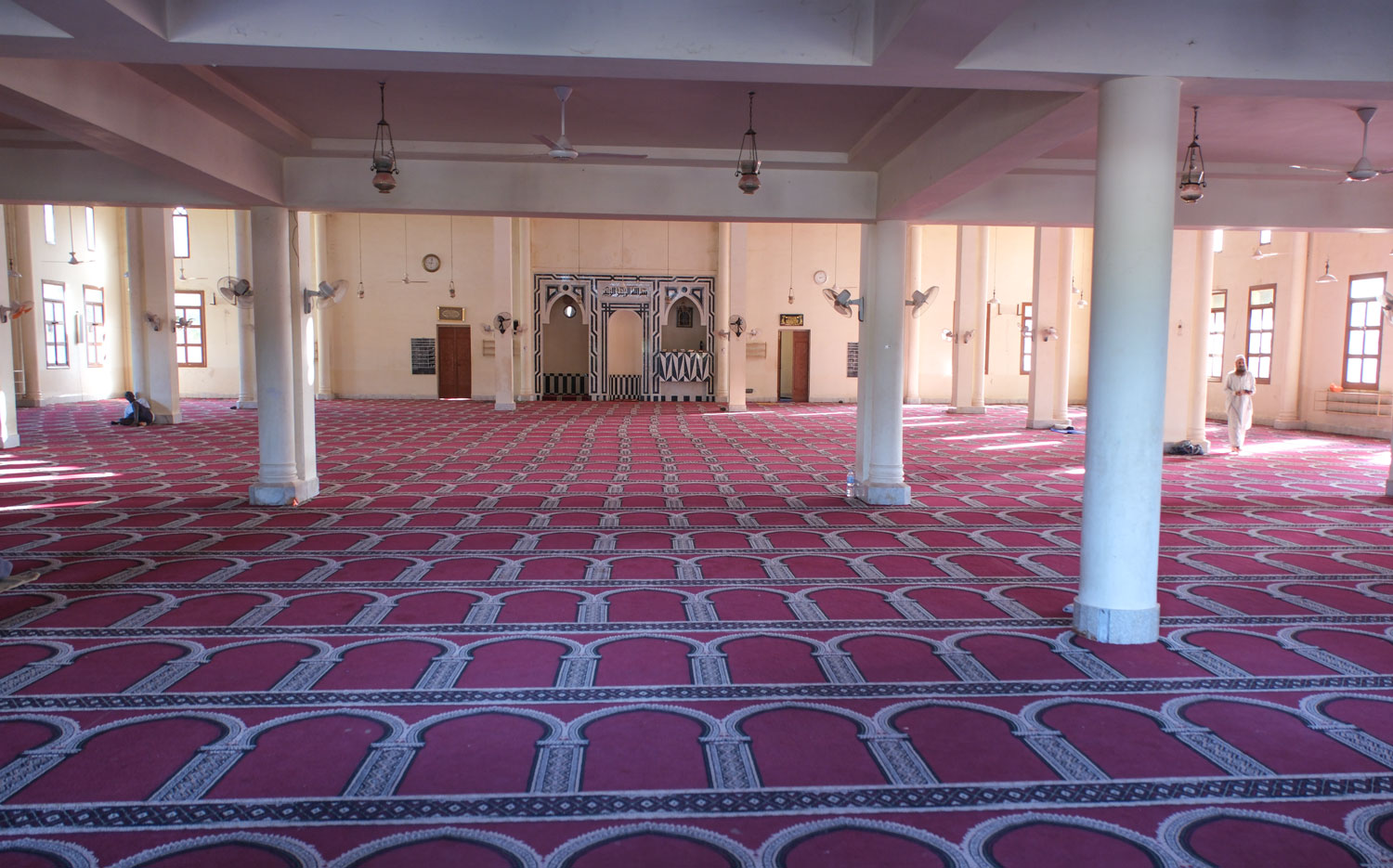
A view into the mosque showing the Mihrab and the Minbar. The carpet did appear to be in good condition.
Then they took us to a tiny silver jewelry shop. And it wasn't just our bus which was there, there were two or three other buses from the ship attempting to get into the store at the same time.
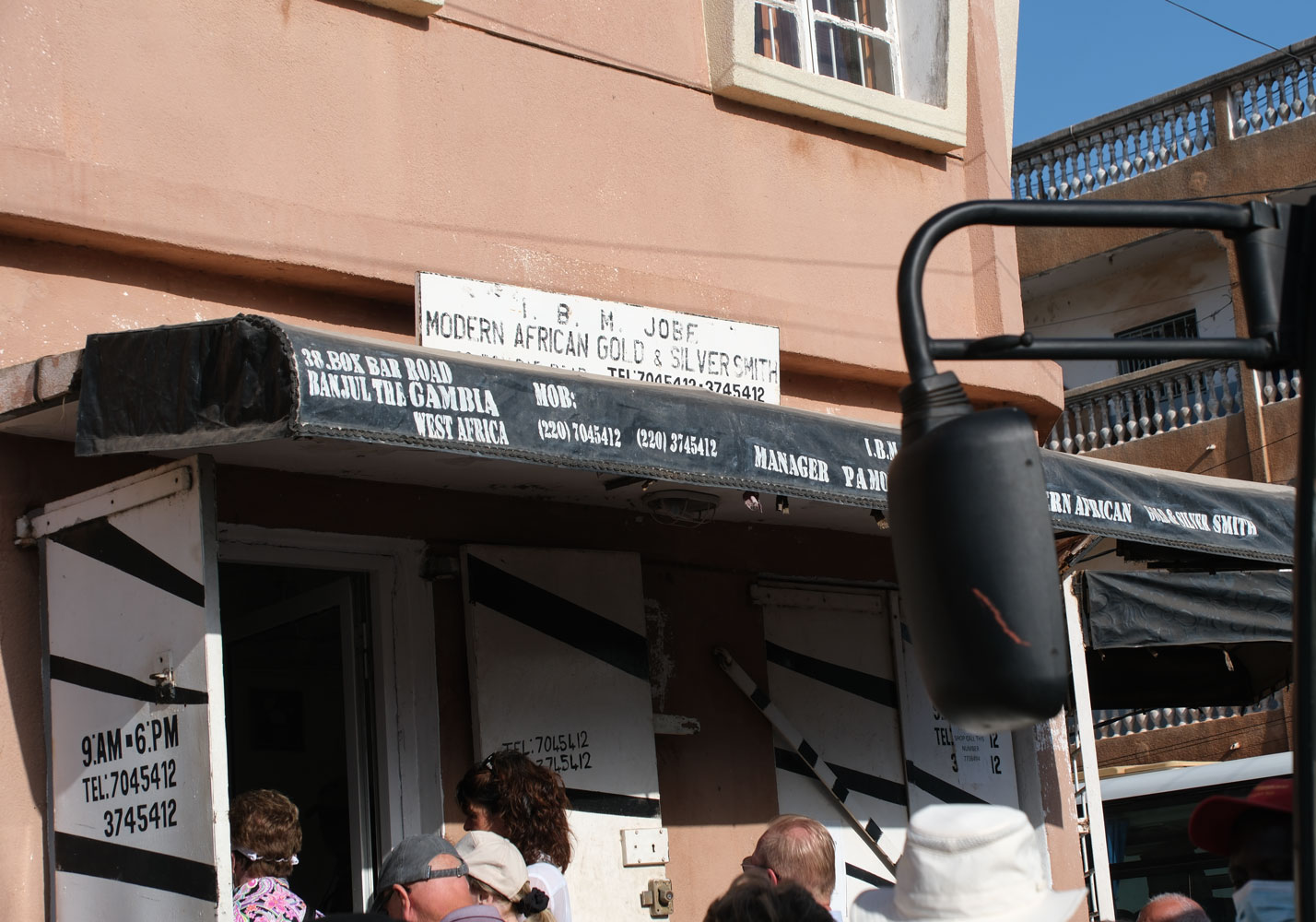
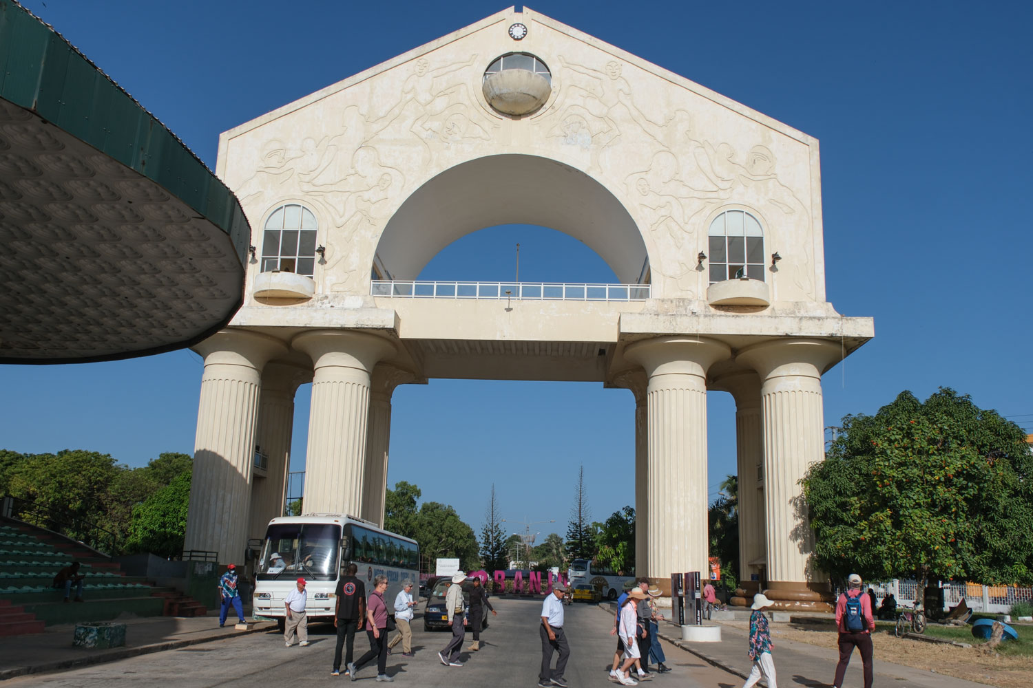
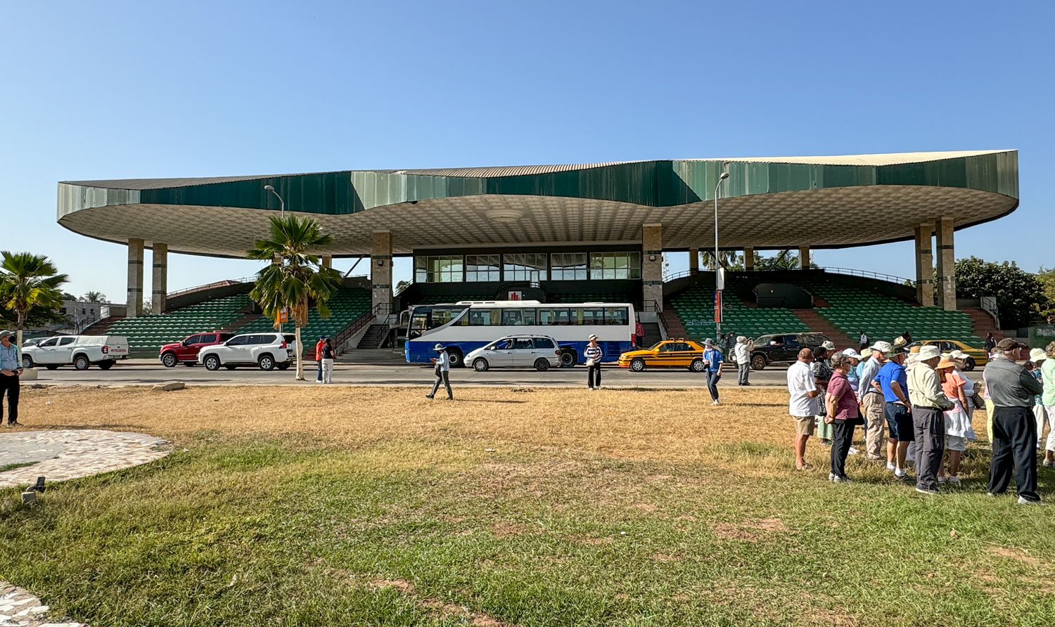
I didn't see anyone purchase anything, but I'm sure they must have sold a few things. From here we went back to Arch 22 and were able to walk around the area. Note the green structure on the left side of the picture. That's a reviewing stand with covered bleacher seats. They are built right on the road, so if an event is held there, the road has to be shut down. This would only make sense for viewing a military parade.
If you compare this picture to the earlier picture I got from the web, you can see the deferred maintenance on the arch. I'm sure the problem is just lack of money.
After we got back to the ship, someone told me that it was possible to go up to the platform on the arch, but there was a charge of one or two 2 Euros.
Here's the reviewing stand.
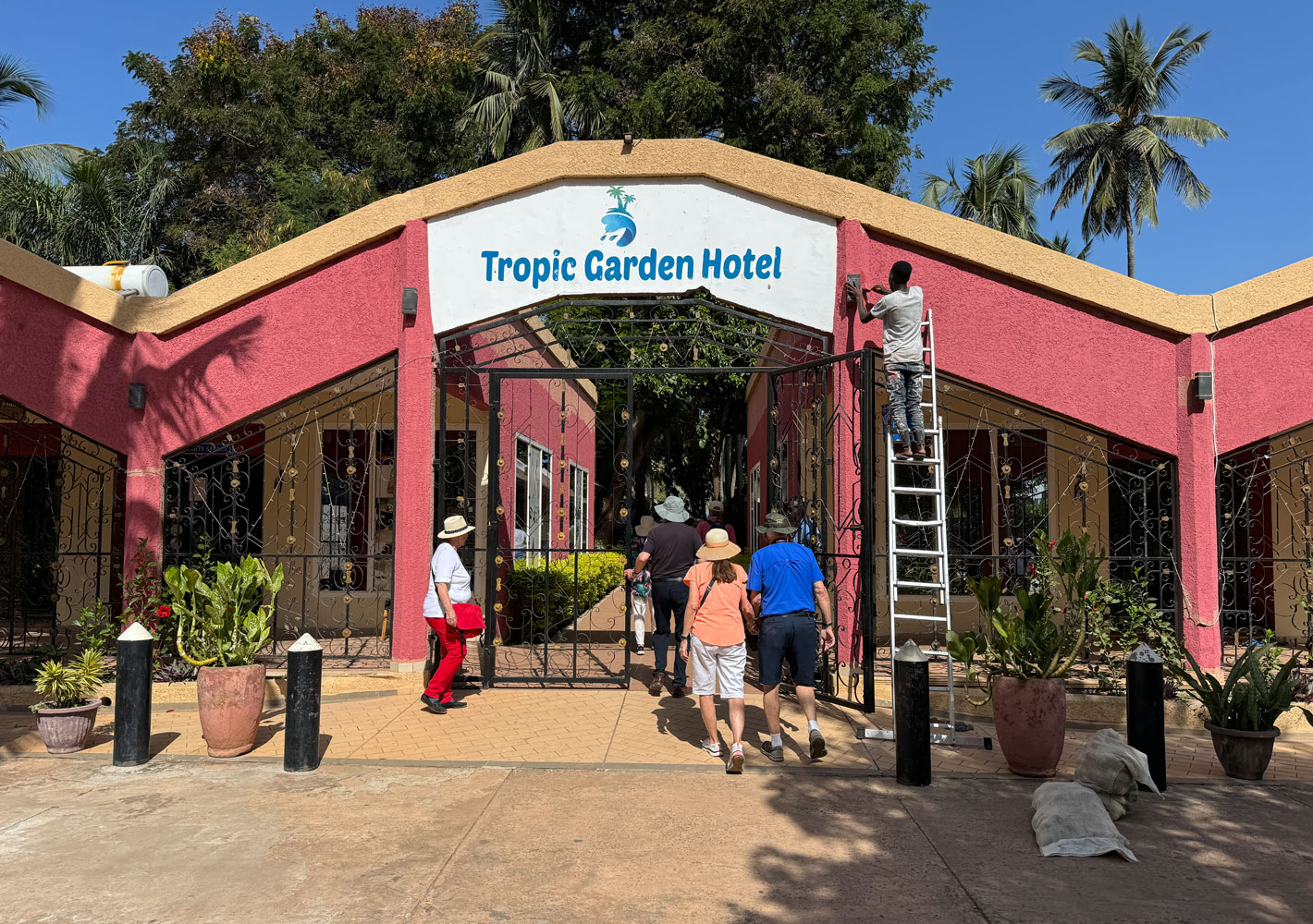
When we left the Arch 22, we drove to the area of Kombo Saint Mary, and theTropic Garden Hotel, where we could have a beverage of our choice.
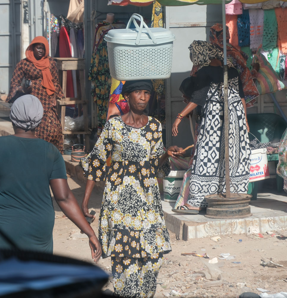
They drove us through a major shopping area of the city of Serrekunda. Lots of small shops and people. I couldn't get a good picture down the street because of where I was sitting on the bus, but I did get this picture of a woman in a colorful dress with a head load. I like all the colors in this picture.
They then took us to a place where they were dying (and selling) batik fabrics. Notice a pattern here?
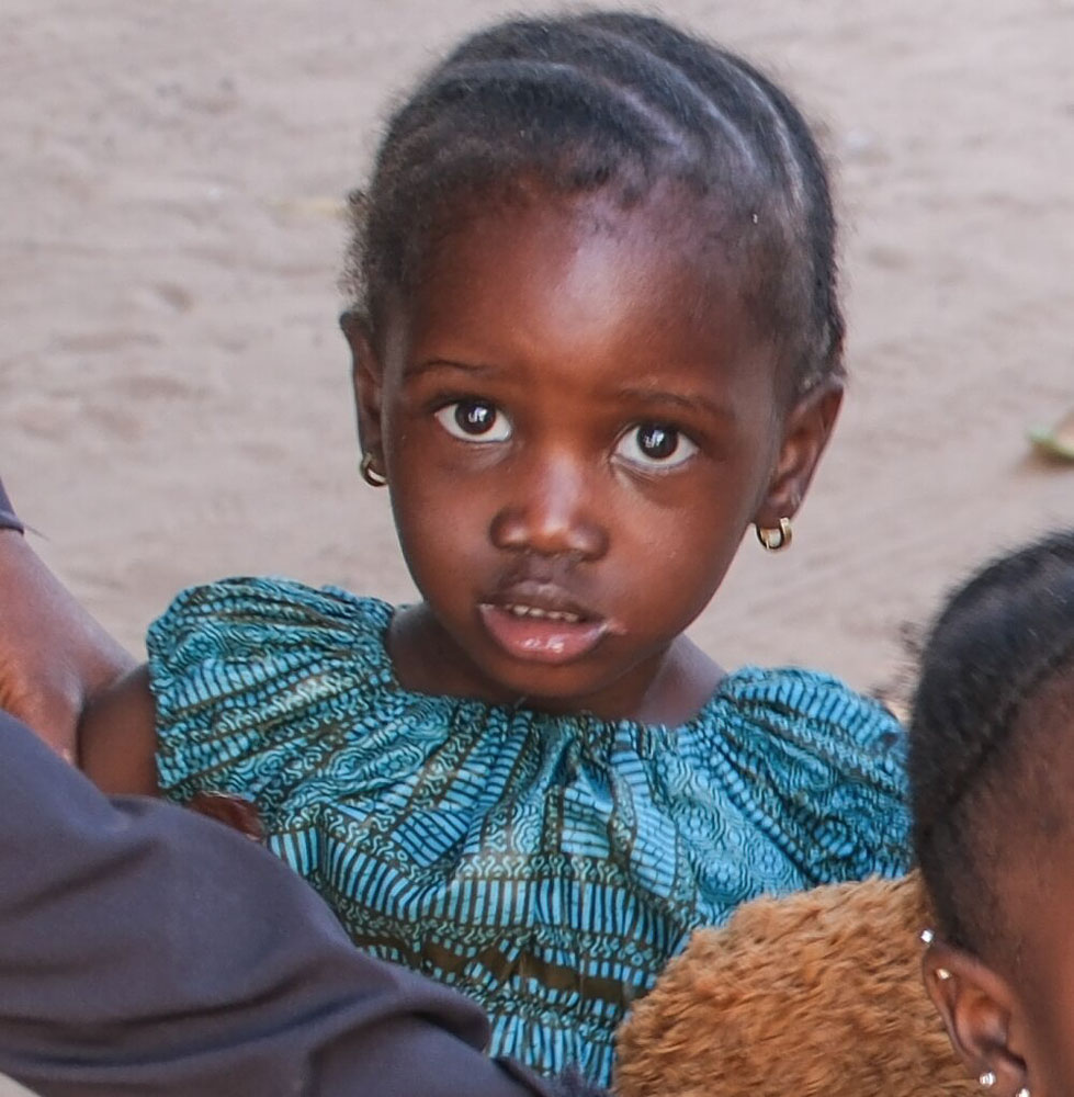
As we were getting off the bus, two young girls came up to the policewoman who was traveling with us, and I took this picture of one of them.
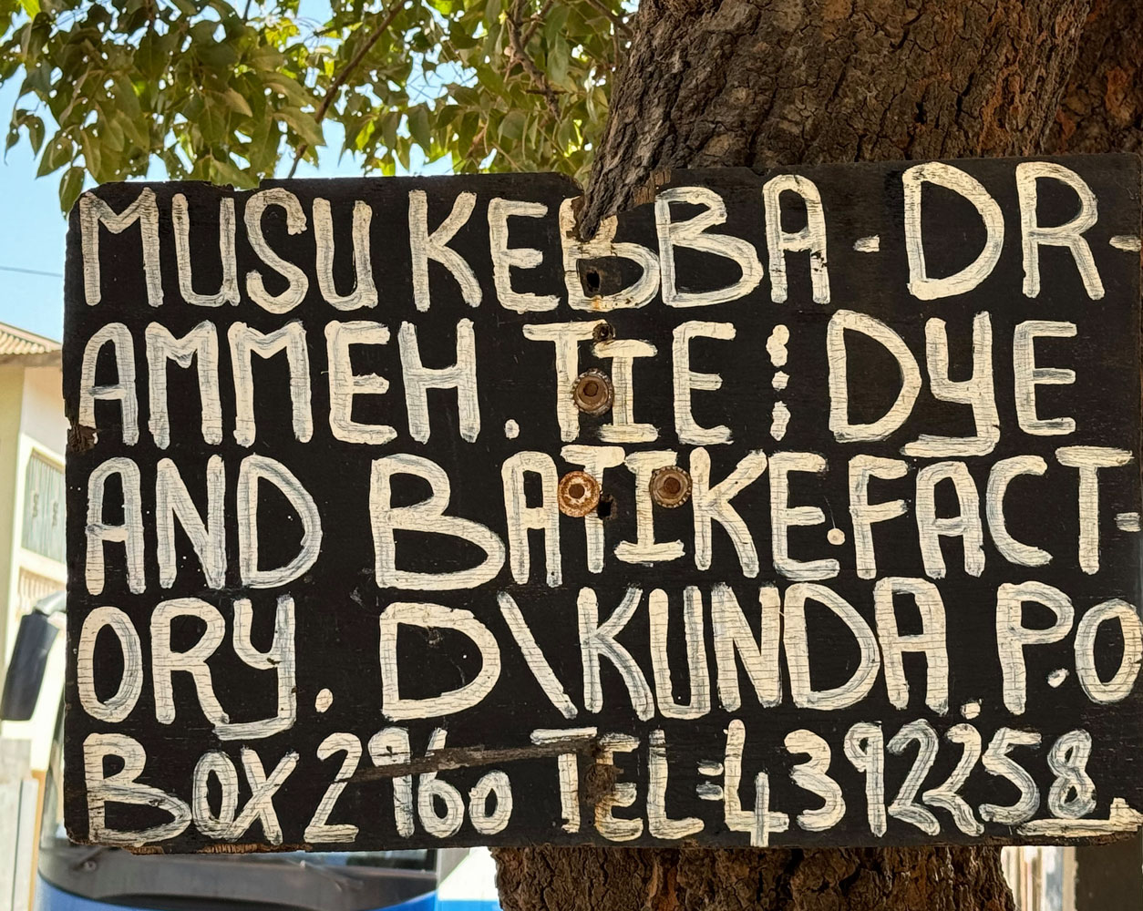
The sign at the entrance to the batik place.
The area where their product is displayed.
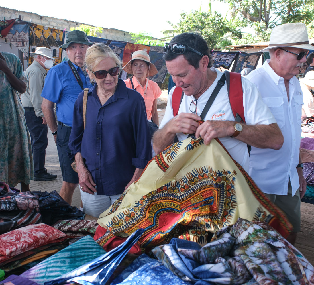
Eric and Sue examining some of the fabrics.
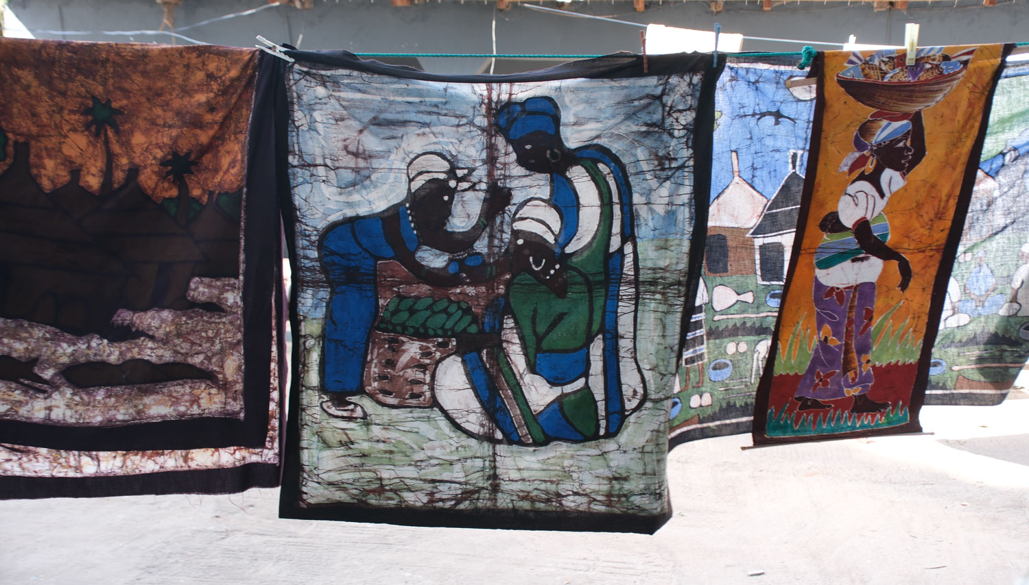
Some examples of their work.
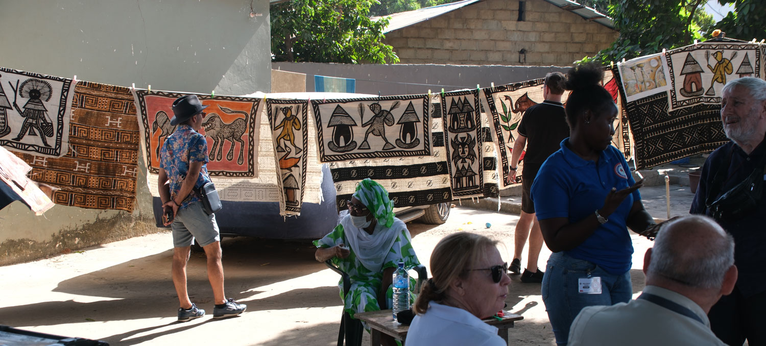

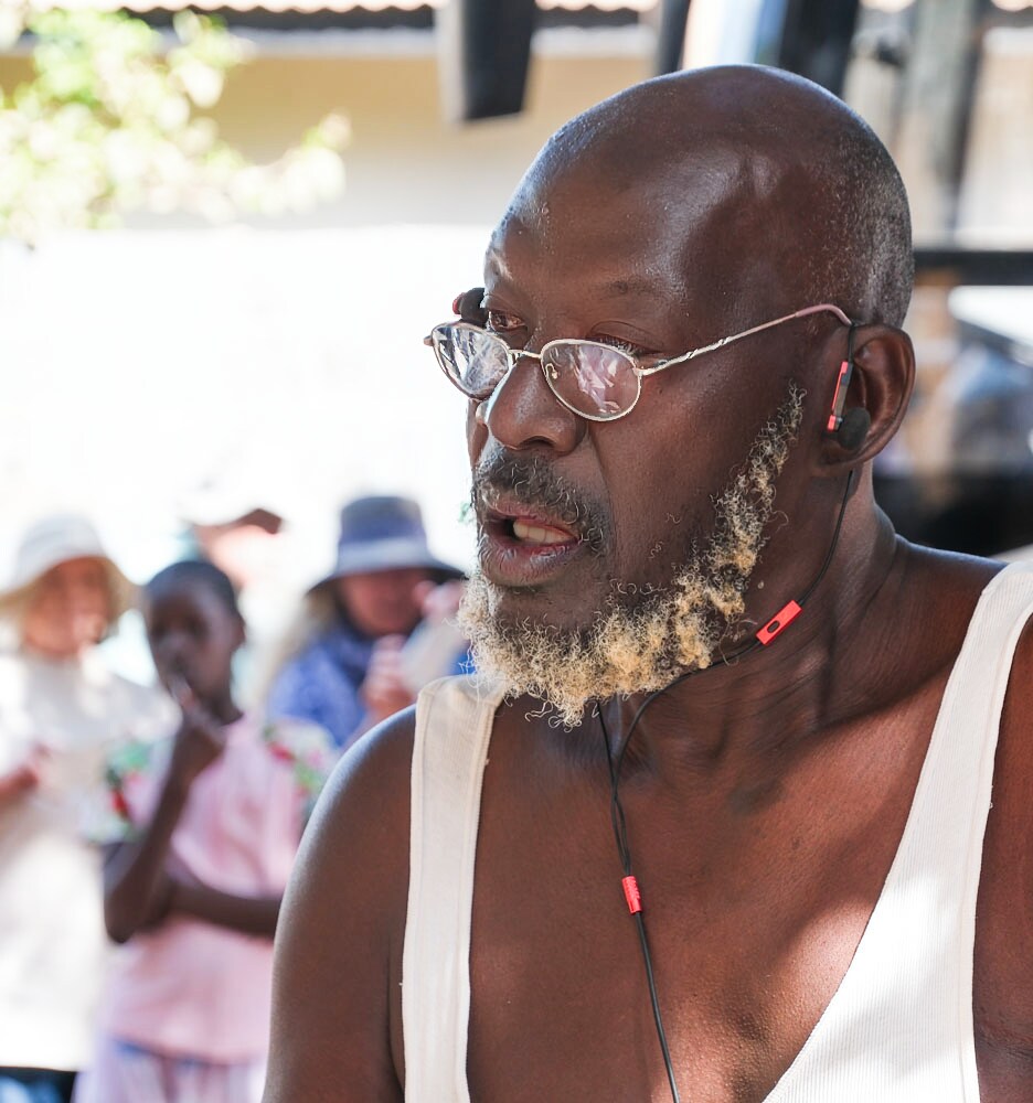
This was one of the artists.
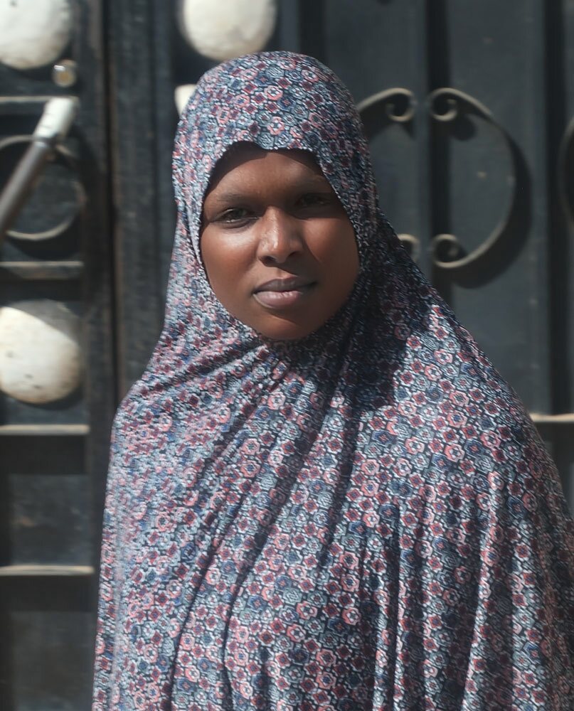
I took this picture of a Muslim woman sometime after we left the batik place. I thought she had an interesting face, and I like the lighting.
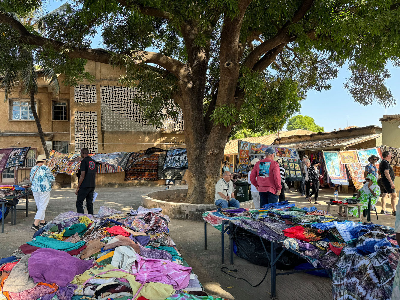
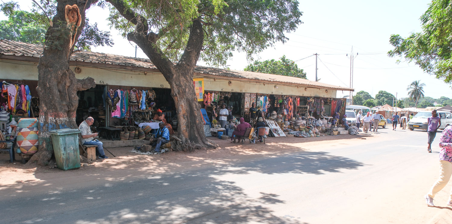
As a final event, they took us to an area where there was some "shopping", or we could go to see "Charlie," the crocodile. Here's a picture of the shopping area.
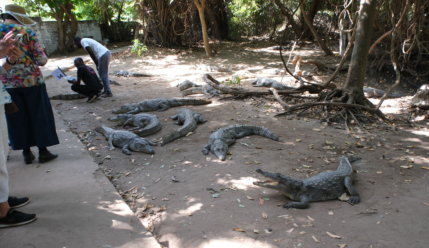
We decided we'd seen enough "shopping", and chose to see Charlie the crocodile. I didn't get the whole story but Charlie is reputed to have some magic qualities.
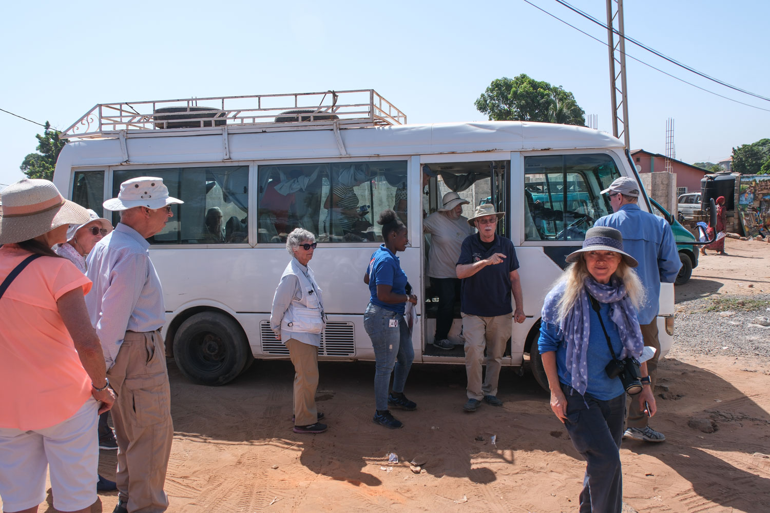
The big bus couldn't get down the small streets to the crocodile farm, so we boarded a small bus which took a group at a time.
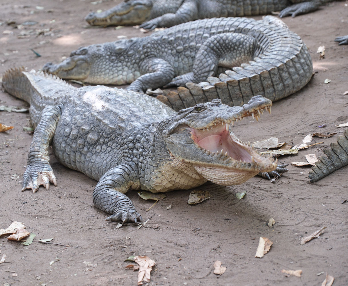
When we got to Charlie's place, we found that there were a whole bunch of "Charlies".
Here's one showing off his teeth.
They allowed the tourists to "pet" a crocodile. Here's Eva petting one.
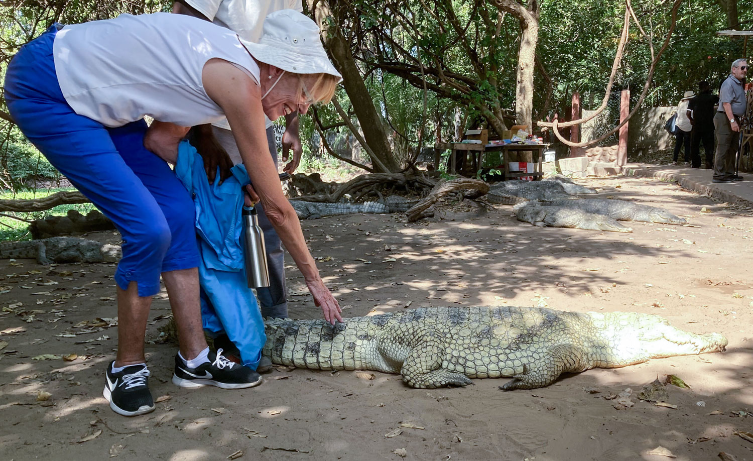
They used to feed the crocodiles by throwing a tourist into the pond when the crocodiles were hungry. But one time, the tourist they threw in was a lawyer, and the crocodiles would not eat him. Professional courtesy:-)
That was the end of the excursion and we headed back to the ship. In the evening, we did the trivia game, then dinner and to bed.
The next two days are "at sea" days so I'll end this installment here.